|
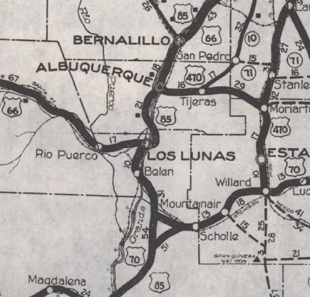
The defined locations of the endpoints didn't make sense. US 460's description in the 1925 plan was Los Lunas to a point on US 70. Los Lunas is where US 60 (now NM 6, but was US 66 when 570 was designated) started west after coming south from Albuquerque (along today's NM 314 at Los Lunas). Isleta is several miles north of Los Lunas. Even today there is no road from Isleta southwest to today's NM 6. Alternatively, it is possible the intent was for a highway from Isleta that was east of the Rio Grande that would not go through Los Lunas.
The 1923 Official NM map is hard to read but the second possibility looks plausible. However, in August 1926, New Mexico also asked AASHO to remove Los Lunas as a point on then-US 60. Then it becomes hard to see where US 60 or US 570 was routed with those parameters.
The 1927 Official shows US 66-85 running Isleta to Los Lunas. US 66 heads west from there. US 85 continues south to Belen, then jogs east across the Rio Grande, then south to Casa Colorado along NM 304.
South of here NM officials maps are not helpful for determining US 570's route. Based on a combination of older "trails" maps, a 1924 Automobile Blue Book, 1938 Socorro/Valencia County maps, and 1947 Historic Aerials, the route from Casa Colorado: headed southeast from NM 304 on Benavidez Rd and went straight 1.1 miles (Google maps shows Benavidez Rd wandering south before here). US 570 then bent to ESE for another 1.9 miles to what Google Maps labels as Escobar Pl. Here US 570 turned SSE in a straight line 2.6 miles to what Google Maps label as Verde Ave. US 570 then headed just slightly west of due south into Socorro County for a total of about a mile. US 570 headed SW to cross an arroyo for 0.3 miles to nearly what Google Maps labels as Pedro Place, then headed SSE in a straight line, crossing US 60 after 5 miles and after 0.4 more miles, then turns due south for 2.9 miles to where the road bends southwest again. Here is where it intersected then-US 70, which came from the northeast and continued southwest to Sorocco. After leaving Benavidez Rd, the only part of US 570 that appears truly drivable is the part south of US 60 (Luna Rd) which is gated off as private property. 95% of US 570's route southeast of Casa Colorado is still discernible on current satellite views.
Although by 1929, the highway (as US 85) moved entirely west of the Rio Grande, the original route south of Casa Colorado remained NM 144 up to at least 1938.
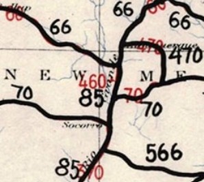
US 570 appeared on one map I can find - a National Highways Association map from 1926. This segment of road changed numbers so quickly, no map showed it as US 466, but an interim 1926 AASHO map with hand corrections for all the 60-66 switch renumberings showed US 460.
|
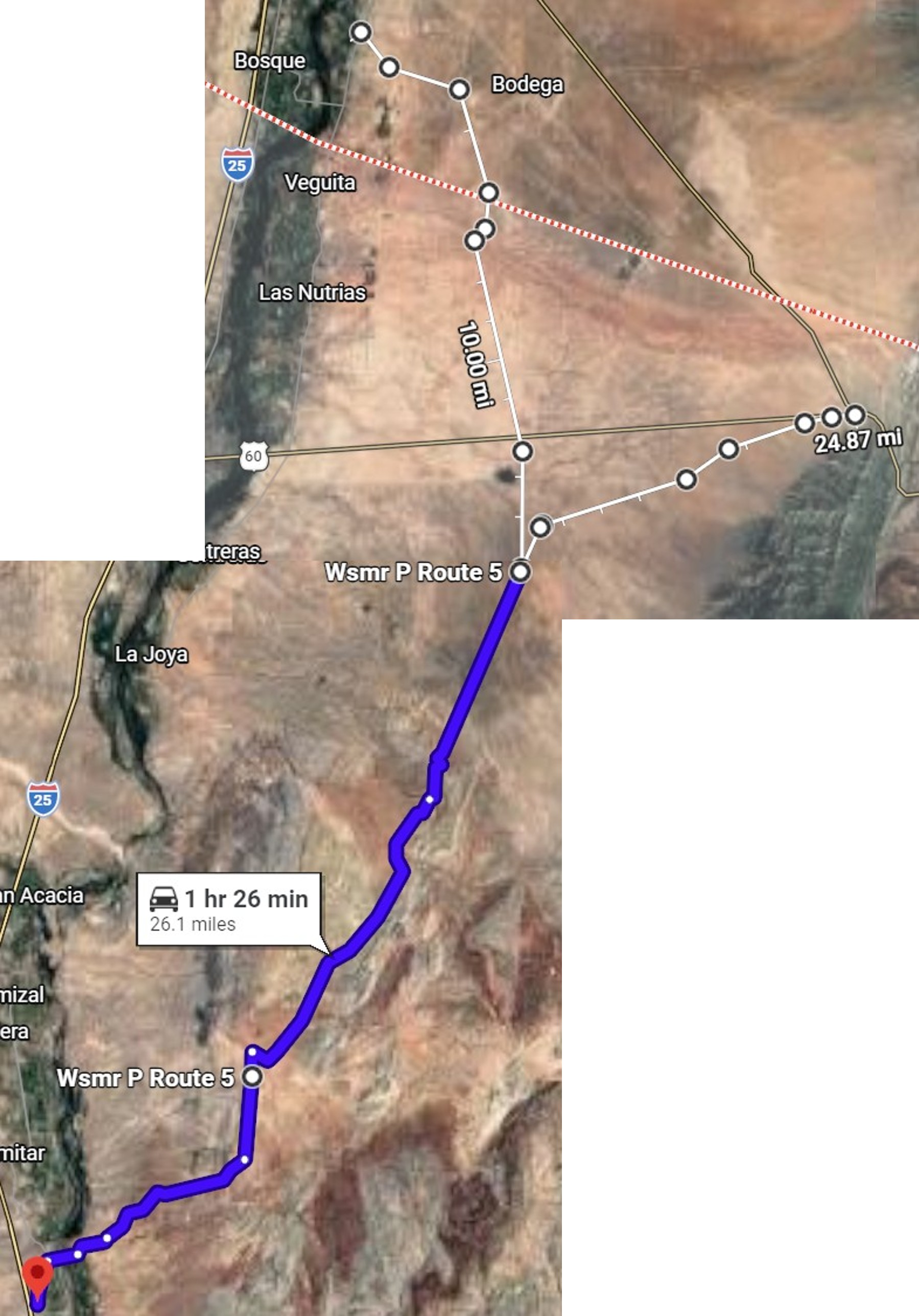 US 570 (later US 85) on the vertical white line
US 70 used the horizontal white line
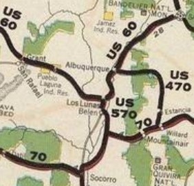
US 70-85 used the blue route south towards Socorro
Google Maps
|