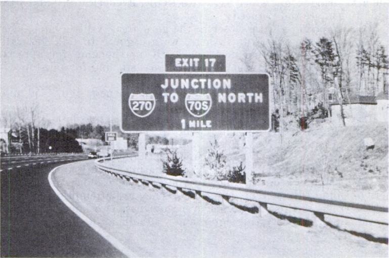
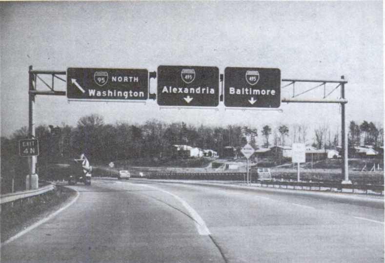
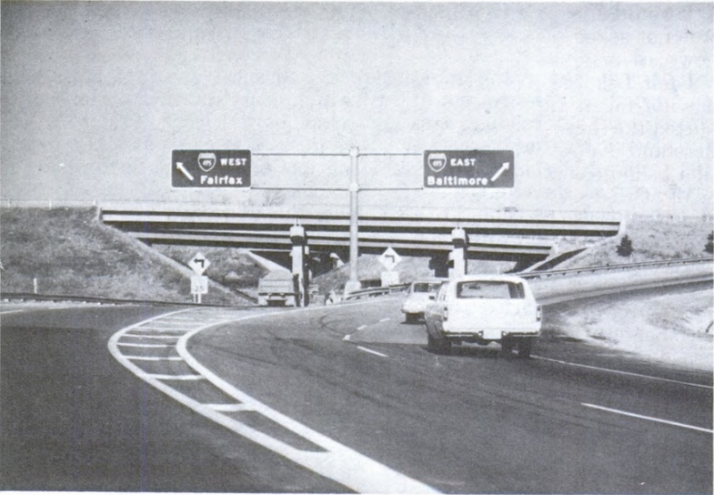
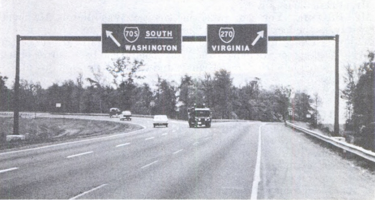
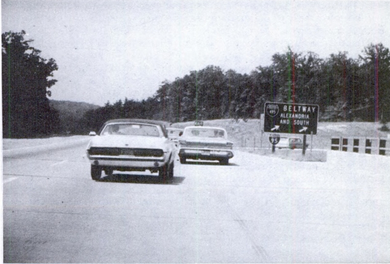
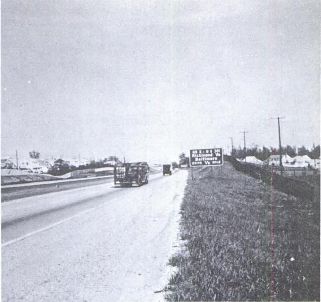
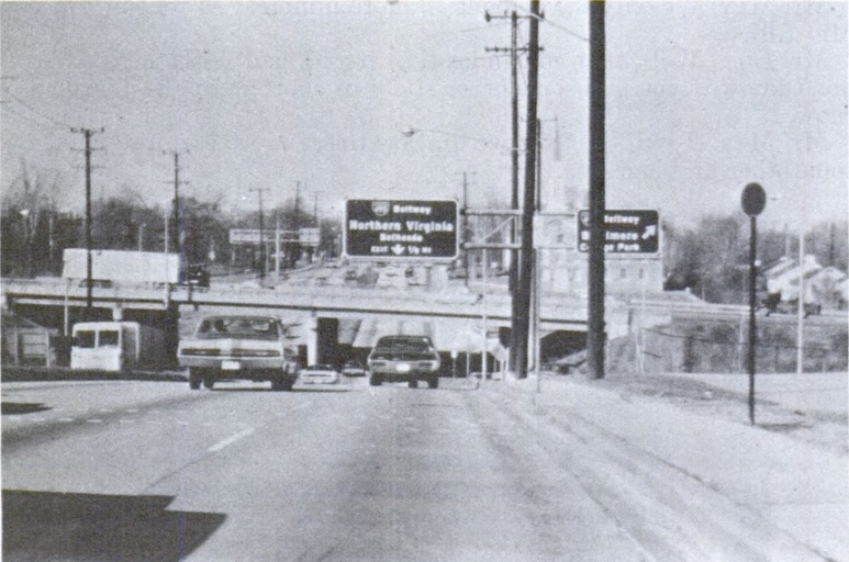
The Capital Beltway was completed in 1964. Many changes have taken place since the original highway was finished. So what was driving the beltway like in the beginning? Thanks to a series of hearings on "Highway Safety, Design, and Operations - Freeway Signing and Geometrics" before the Special Subcommittee on the Federal Aid Highway Program in the House of Representatives, conducted in during 1969, we can get a feel. The point of the hearings was to highlight deficiencies in highway design and signage placement/styles. The experts who testified took numerous pictures to illustrate their findings - New York City, Los Angeles, and Washington DC. As a result, there were over 150 unique views of the beltway or approaches to the beltway. These are the focus of this gallery. If you want to read the testimony or seek out other photos for your viewing pleasure, go here.
The gallery is separated into several potential "virtual drives" with the photos arranged in a geographic order as if you were driving the route. Although the gallery is extensive, not every single mile or interchange of the beltway is represented. Most of the pictures were in Virginia but I did include the ones that happen to be in Maryland. All photos come from the transcript of the hearings unless otherwise specified.

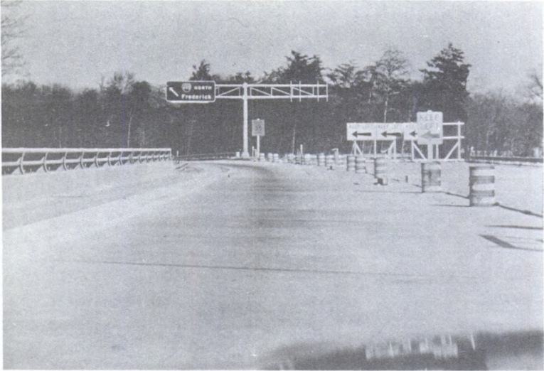
The inner loop (I-495 east) at MD 187, with now-decommissioned US 240 coming up