US 360-Y
<US 350
| Home | US 366
>
US 360 | US 360 ALT | US 360 Bus
US 60 | US 160 | US 260 | US 460 | US 560 | US 660
US 360 at US Ends.com
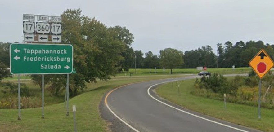
Photo: This was US 360-Y...now the ramp from US 360 to US 17 southbound (Sept 2024 GMSV) |
 | |
|
|
|
|
US 360-Y repurposed |
|
|
|
|
Previous US 360-Y's:
Final ROUTE LOG
US 360: 0 - 0
US 17: 0.11 - 0.11
|
|
US 360-Y: The creation date of this is unknown. The CTB has no reference to 360-Y.
VDOT County maps from at least 1943-61 show it (but the 1936 map does not), as the southwest leg of a triangle set-up at US 17 Brays Fork VA.
The 1960 aerial of this area shows it as a ramp like today, which means it is very likely US 360-Y died when US 17-360 was 4-laned around that time.
It appears the actual road itself is still there as the movement from 360 EB to 17 SB.
|
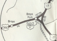
US 360-Y at Brays Fork
1961 Essex County
|
Previous: US 350 |
Next: US 366
US 360 | US 360 ALT | US 360 Bus
US 60 | US 160 | US 260 | US 460 | US 560 | US 660
US 360 at US Ends.com
Top | US Routes Index
Home
Page last modified
22 August 2026