< VA 5 | Home | VA 6 | VA 7 >
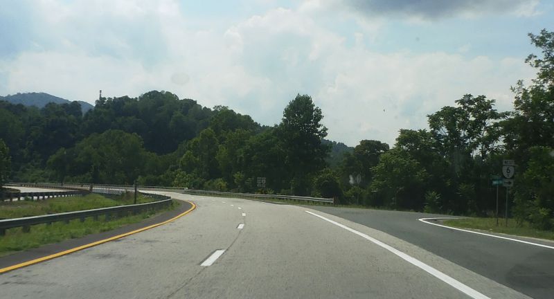
Photo: US 29 at VA 6Y when it was still posted (Mapmikey, Jun 2015)
|
|
|
| ROUTE LOG |
VA 6: 0 - 0 US 29, VA 6: 0.20 - 0.20
|
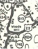
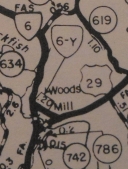
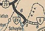
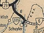
Creation: VA 6Y was created in 1966 as a renumbering of part of US 29 and VA 6. This is the 2nd VA 6Y.
| Adjustments: None Improvements: Paved upon inception; No multilane segments Posted: Unposted; there was a 6Y shield on US 29 SB until between 2019-23. Multiplexes: None Legislative names: None Other names: Tidbit Trail Scenic Byway: no segments Comment: VA 6Y is on the wrong leg of the triangle with US 29 and VA 6. But it is this way because one cannot turn left onto US 29 NB, which is the movement VA 6 EB needs to make. So VA 6 is routed the way it is. VA 6Y was once the US 29 movement through this area. I had thought maybe VA 6-Y started out on the other leg when US 29 was still two-lane from 1966-80 but county maps show otherwise.
| Previous VA 6Y's: |
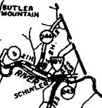
VA 6Y #1: Created in July 1933 as a renumbering of VA 19Y, running from VA 6 (now SR 1809/800 jct) south to SR 617 Schuyler.
About 1938, VA 6Y was renumbered as VA 335. Today it is part of SR 800.
|
|||||||||||
Previous: VA 5 |
Next: VA 6 | VA 7
Top | Virginia Hwy Index
Home
Page last modified 22 December 2023