< VA 336 | Home | VA 338 >
VA 337
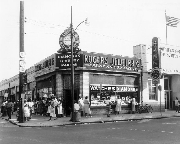
Photo: VA 337 ALT posting along Brambleton Ave WB at Church St (1950s photo courtesy Norfolk State University, Norfolk VA)
| |||||||
| ROUTE LOG US 460 ALT, VA 337: 0 - 0 US 17: 1.05 - 1.05 US 58 WB, VA 141: 1.24 - 2.29 |
| ||||||
| |||||||
| ROUTE LOG I-264 (exit 9), US 460 ALT, VA 337: 0 - 0 US 58, VA 337: 1.49 - 1.49 |
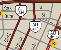
Creation: Created Dec 1980 (CTB) and first appears on Official maps in 1988 when the Downtown Norfolk inset was first included. This is the 4th VA 337 ALT. VA 337 ALT was originally on split alignments from Brambleton, with SB using Duke St and NB using Boush St.
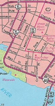
Adjustments: In the early 2000s, Boush St was reconstructed Boush St as a 2-way, 4-lane divided street all the way to Brambleton Ave. VA 337 SB was removed from Duke St beginning with the 2011 VDOT Traffic Log. However Official maps through at least 2014 do not show this change. Posting: None Comments: Boush St. and Waterside Dr. in downtown Norfolk. Curiously, the Norfolk route effectively "overlaps" the Portsmouth route. Starting with the 2012 Official the route is erroneously labeled as VA 334 ALT.
| ||||||
| Previous VA 337 ALT's: |
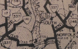
VA 337 ALT #1: Created in April 1947 (CTB Minutes) as a posted route not officially in the primary system. Was a loop off VA 337 in South Norfolk, using Bainbridge Ave and South Main St.
In Feb 1951 (CTB), VA 337 ALT was "extended" north across the Berkley Bridge during the construction phase. In March 1953 (CTB), the VA 337 ALT designation over the Berkley Bridge was changed to mainline VA 337. In May 1953 (CTB), VA 337 was rerouted to replace the rest of VA 337 ALT. It appears on 1952 and 1953 official maps. VA 337 ALT #2: Created in May 1953 (CTB). Began at VA 337 Bainbridge Ave in South Norfolk and followed US 460 Poindexter east, then northwest with US 460/VA 170 along Campostella/Brambleton to end at VA 337 Bank St. It appears that this went away with the Nov 1957 rerouting of VA 337 in Norfolk, although it appears on the 1958 Norfolk County map.
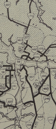
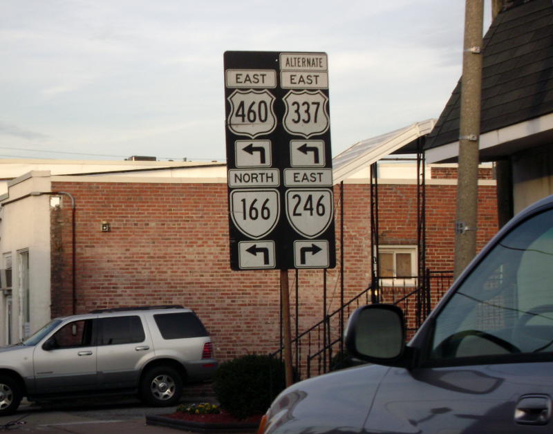
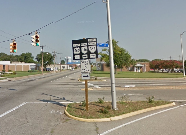
VA 337 ALT #5?: A. Froehlig reports a VA 337 ALT sign exists on US 460/VA 166 EB at the VA 246 intersection (Librty St.) Another posting exists on the US 460-VA 166 turn from Liberty NB onto Wilson NB. No postings seem to exist anywhere else. I saw this in 1991, but thought it was somewhere slightly different when I first wrote about it in this site.
|
||||||
Previous: VA 336 |
Next: VA 337 | VA 338
Top | Virginia Hwy Index
Home
Page last modified 26 March 2022