< VA 283 | Home | VA 285 >
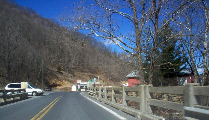
Photo: US 220 north at old VA 284 (Mapmikey, March 2006)
| VA 284 not currently assigned | ||||||
| Previous VA 284's: 1945 ROUTE LOG US 220: 0 - 0 SR 640: 2.5 - 2.5 |
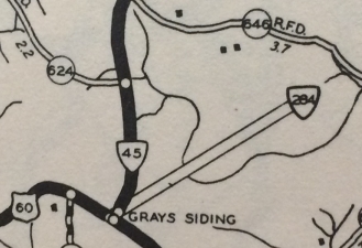
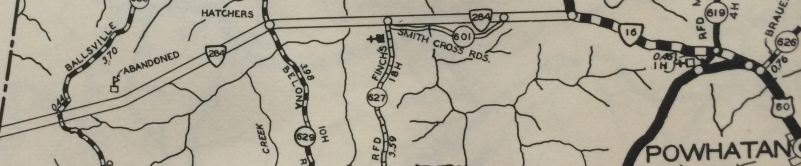
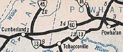
VA 284 #1: Appeared in Aug 1933 (CTB) running 2 miles east from US 60 (now VA 13) Cumberland CH towards Clinton. A second piece was created running from VA 16 (now SR 684/601) near Powhatan CH west 3 miles. CTB Minutes discussing the project prior to 1933 called this corridor VA 13 ALT.
In Sept 1934, the gap in VA 284 was added to the highway system and referred to as US 60. The previous evidence found so far of VA 284's existence is in the project identification of the Cumberland County piece explicitly identified as "route 284" in the Jan 1935 CTB. This reference also appears in the Dec 1934 and Jan 1935 issues of the Virginia Highway Bulletin. The 1935 Cumberland and Powhatan maps show the road as US 60. Thanks to Nathan Rathjen, 1933 issues of Cumberland and Powhatan County maps were located, and VA 284 is on them! Given that 284 was specifically in place for this area, I am confused as to why old US 60 didn't become VA 284 instead of VA 13.
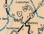
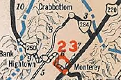
 VA 284 becomes US 60 1936 Official VA 284 #2: Appeared by July 1935 (route log) as a renumbering of VA 250 (which had to be eliminated when US 250 appeared). Ran from US 220 Forks of Water to Crabbottom. VA 284 was downgraded to SR 642 in May 1946 (CTB Minutes).
|
|||||