< WV 52 | Home | WV 52 >
|
|
|
| ROUTE LOG |
WV 45: 0 - 0 I-81 (exit 5): 4.6 - 4.6 US 11: 0.6 - 5.2 Jefferson-Berkeley Line: 4.1 - 9.3 WV 115: 7.7 - 17.0 US 340, WV 9: 1.2 - 18.2
|
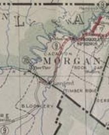
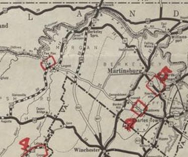
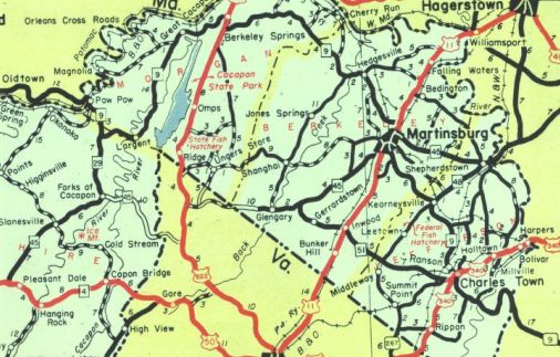
Creation: Appeared about 1932 as a renumbering of WV 78 from the Maryland line at Paw Paw to WV 9, then followed WV 9 east to Largent before continuing as new primary routing along the boundary with Virginia on what had to have been proposed routing (1930s county maps show no road doing this) to Mills Gap, then as new primary routing through Inwood to end at US 340 (now CR 340/18) Charlestown. This is the 2nd WV 51.
| Adjustments: About 1935, WV 51's western end was truncated to WV 45 Mills Gap. The existing Paw Paw segment becmae part of WV 9. It appears WV 45 west of Mills Gap followed some of the projected WV 51 routing from before.
Betwen 1938-46, WV 51 was removed from CR 51/9 Three Run Rd east of Inwood About 1965, WV 51 was removed from CR 51/5 Henshaw Rd and CR 11/22 True Apple Way in Inwood to accommodate the I-81 interchange. About 1989, WV 51 was extended east replacing US 340 through Charlestown. In late 2018, WV 51 was placed on a newly constructed bypass of Inwood. The old route became CR 51/20 Middleway Pike; US 11 remains on Winchester Ave. Improvements: Upon designation was paved from Middleton to Charlestown By 1935, WV 51 was paved from Middleton to Gerrardstown. By 1946, WV 51 was paved from WV 45 to Gerrardstown. Multilaned only the short distance from the Charlestown Racetrack to US 340/WV 9. Comment: Provides access to Charlestown from I-81 coming out of Virginia. | Previous WV 51's:
1930 ROUTE LOG WV 14: 0 - 0 WV 36: 18 - 18 WV 13: 2 - 20 |
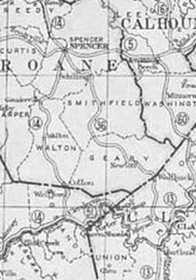
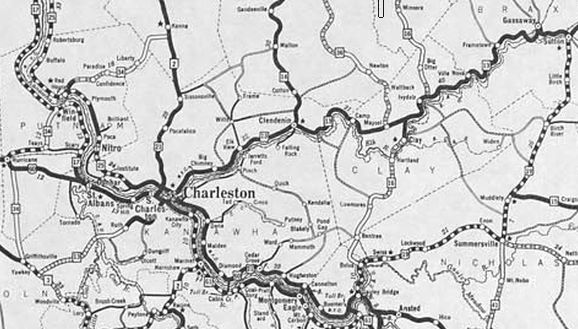
WV 51 #1: Appeared 1922 as new primary routing running from WV 14 (now US 119) Clendenin east to WV 13 (now WV 16) Clay.
Between 1929-31, WV 51 was renumbered as part of WV 13. Today it is part of WV 4.
|
|||||||||||