< TN 79 | Home | TN 81 >
|
|
|
| ROUTE LOG |
TN 25: 0 - 0 TN 85: 2.6 - 2.6 Macon-Smith Line: 8.1 - 10.7 TN 56, TN 262: 3.3 - 14.0
|
Creation: Appeared in 1927 or 1928 running generally as it does today.
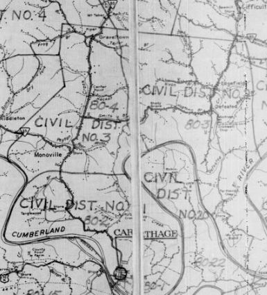
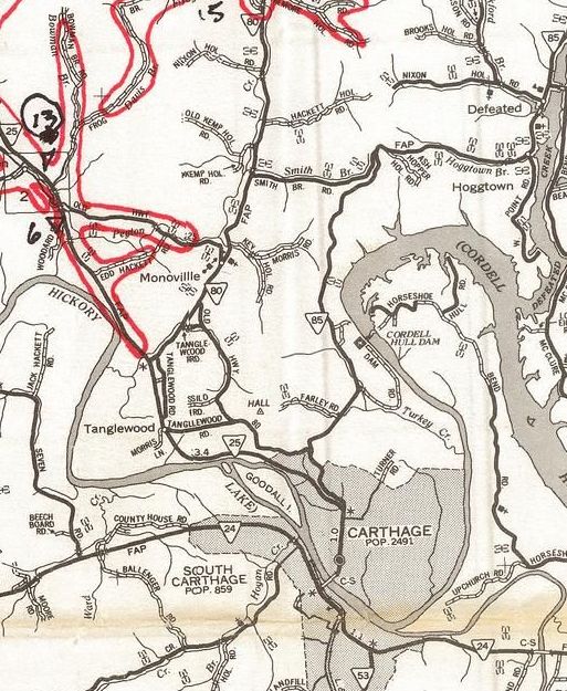
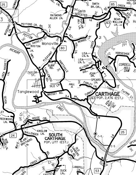
|  TN 80 from TN 25 to TN 56 1929 Official Adjustments: In 1953 (bridge dates), TN 80 was straightened out north of today's TN 85 with less crooked approaches to all the Peyton Creek crossings and removed from Post Office Ln and Shady Cir in Pleasant Shade. In 1963, TN 80 was extended south replacing TN 25 from Monoville along Hartsville Pike to end at TN 85 (now TN 263) Carthage. In 1970, TN 80 south was rerouted at Monoville to go directly to TN 25, leaving behind Hartsville Pike.
Posting: Posted as primary throughout Secret US Route Overlay: None Comment: TN 80 crosses Peyton Creek 4 times. | ||||||||