< VA 341 | Home | VA 343 >
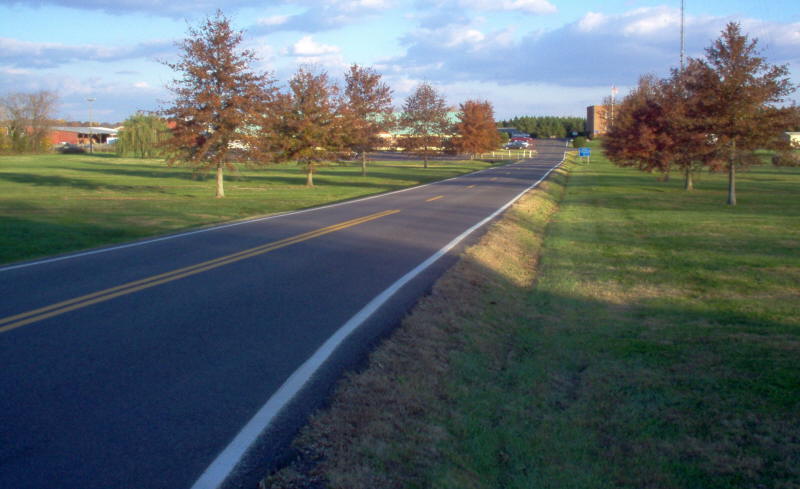
Photo: Pretty much the entirety of VA 342 (photo by Mapmikey, November 2005)
|
|
|
| ROUTE LOG |
|
Creation: Appeared Jan 1940 (CTB) as new primary routing, running as it does today. This is the 2nd VA 342.
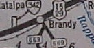
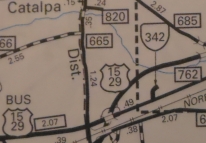
| Adjustments: None Improvements: Paved upon inception; no multilane segments Posted: White rectangles at SR 762 Multiplexes: None Legislative names: None Other names: State Police Rd Scenic Byway: None Comment: VA 342's south end was US 15-29 for many years. VA 342 appeared on official maps only from July 1940 to July 1941
| Previous VA 341's:
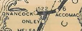
1928 ROUTE LOG US 13, VA 34: 0 - 0 END VA 342: 3 - 3 |
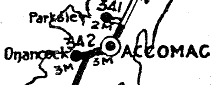
VA 342 #1: Appeared in March 1923 (CTB) as new primary routing running from VA 34 (now US 13 Bus) Tasley west to the Onancock waterfront. See scan under VA 341 #1
In August 1928, VA 342 was renumbered as VA 522. Today it is all of VA 126 and the westernmost mile of VA 179. Commercial maps in the 1920s had VA 342 run to Cashville or run all the way to Pungoteague. All VDOT maps show Tasley to Onancock only.
|
||||||||||
Previous: VA 341 |
Next: VA 343
Top | Virginia Hwy Index
Home
Page last modified 29 August 2022