< WV 252 | Home | WV 260 >
|
|
|
|
| ROUTE LOG |
Virginia State Line: 0 - 0 US 48 WB, WV 29, WV 55 EB: 20.9 - 20.9 US 48 EB, WV 55 EB: 9.4 - 30.3 Hampshire-Hardy Line: 3.8 - 34.1 Virginia State Line: 11.5 - 45.6
|
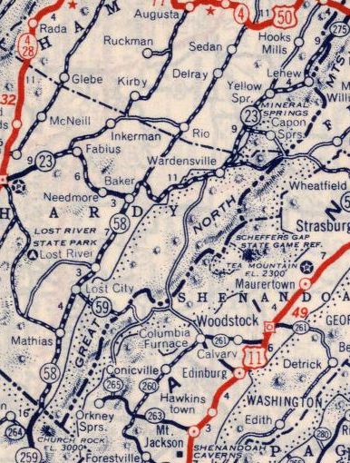
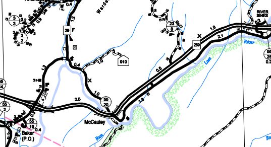
| Creation: WV 259 was designated in 1941, running generally the way it does now. VA 259 was a renumbering of WV 58 south of Baker and WV 23 north of Baker. This is the only WV 259.
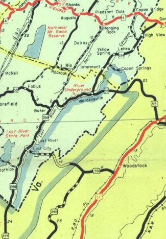
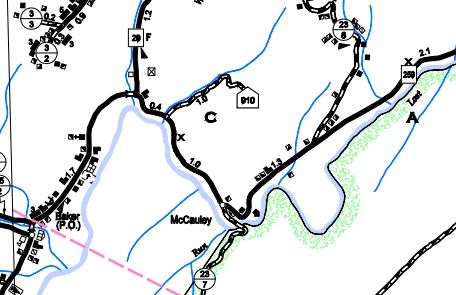
Adjustments: In October 2006, WV 259 was placed on newly constructed Corridor H from Baker to Wardensville. The old route became an extended WV 29 and a lenghty CR 55/20.
Improvements: Upon designation, WV 259 was fully paved; multilane upon addition to Corridor H. Comment: WV 259 is a quiet ride through eastern West Virginia and has no problematic segments now that it is on Corridor H. WV 259 can be used as a back door short cut from Harrisonburg VA to Corridor H or even Winchester VA. | |||||||
Previous: WV 252 | Next: WV 260 |
Top | West Virginia Hwy Index
Home
Page last modified 25 November 2017