< WV 13 | Home | WV 14 | WV 14 SPUR | WV 15 >
|
|
|
| ROUTE LOG |
WV 14: 0 - 0 WV 95: 1.3 - 1.3 WV 618: 0.6 - 1.9
|
Creation: Created about 1971 as a renumbering of US 21 ALT, running the way it does now, although it is possible that briefly it ran downtown back to WV 2-14. This is the 2nd WV 14 ALT.
| Adjustments: None Improvements: Paved upon inception; multilaned from WV 95 across the Little Kanawha River in 1998. Comment: WV 14 ALT is not posted anywhere. It is unclear if this has always been true because US 21 ALT was posted up into the 1960s for sure. 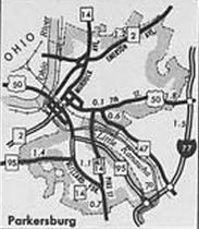
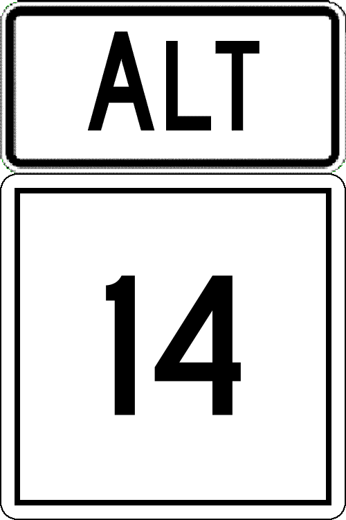
WV 14 ALT Parkersburg 1976 Official | Previous WV 14 ALT's:
1970 ROUTE LOG WV 14: 0 - 0 US 60: 1.7 - 1.7 |
WV 14 ALT #1: Appeared in 1957 or 1958 as an upgrade to CR 12/4 running from WV 14 (now US 119/WV 214) north to US 60 in South Charleston.
It appears that in 1971 or 1972, WV 14 ALT was downgraded to secondary status but by 1976 was back in the primary system as WV 601. | 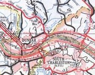
WV 14 ALT South Charleston 1972 Kanawha County |
|||||||