1950 Official
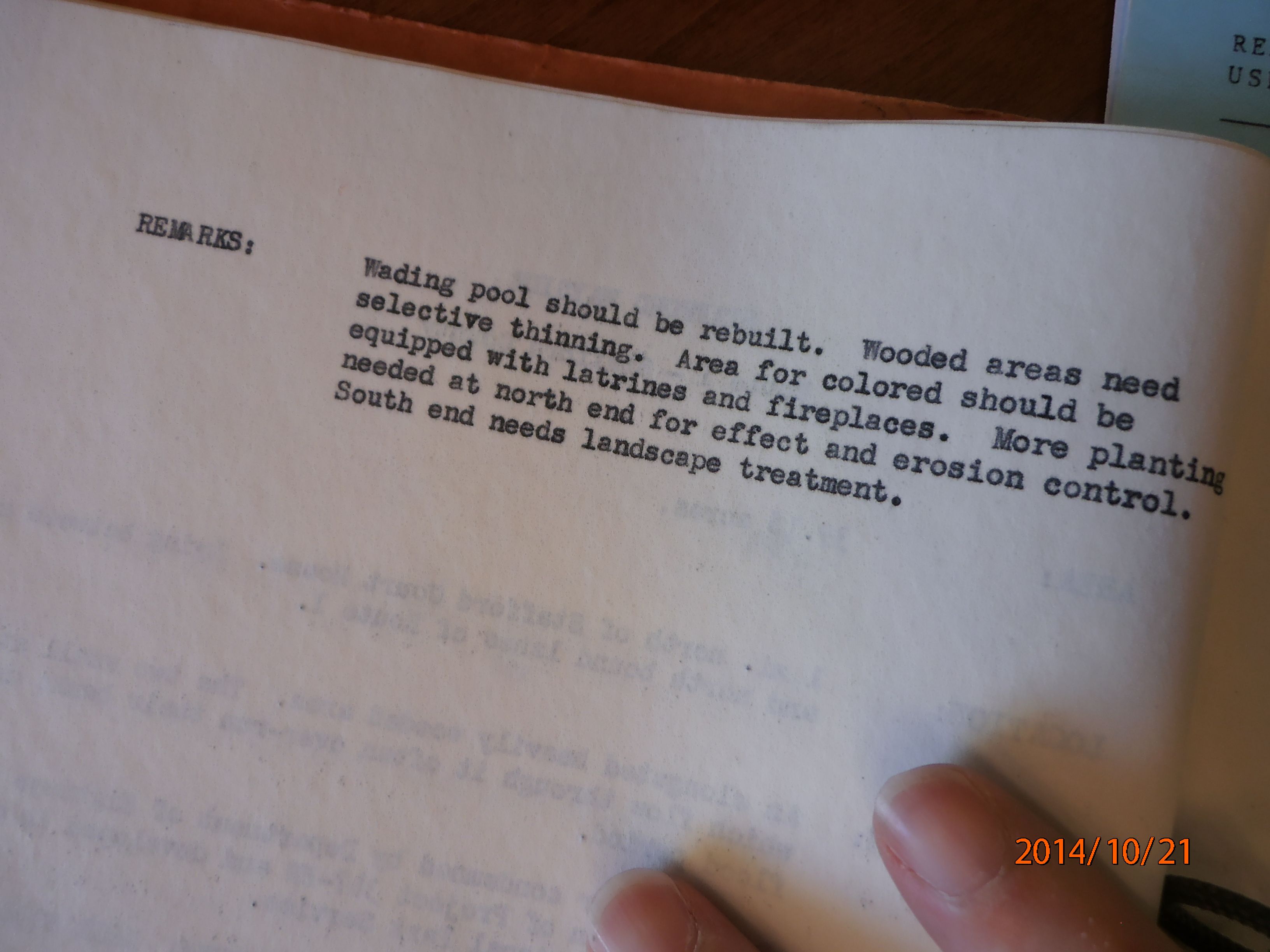
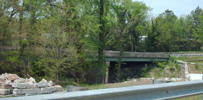
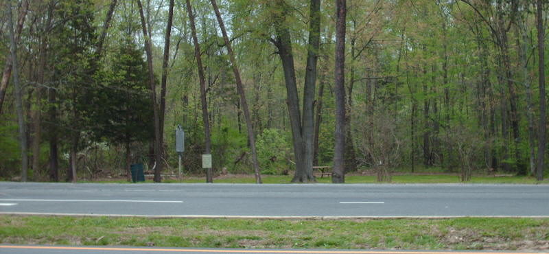
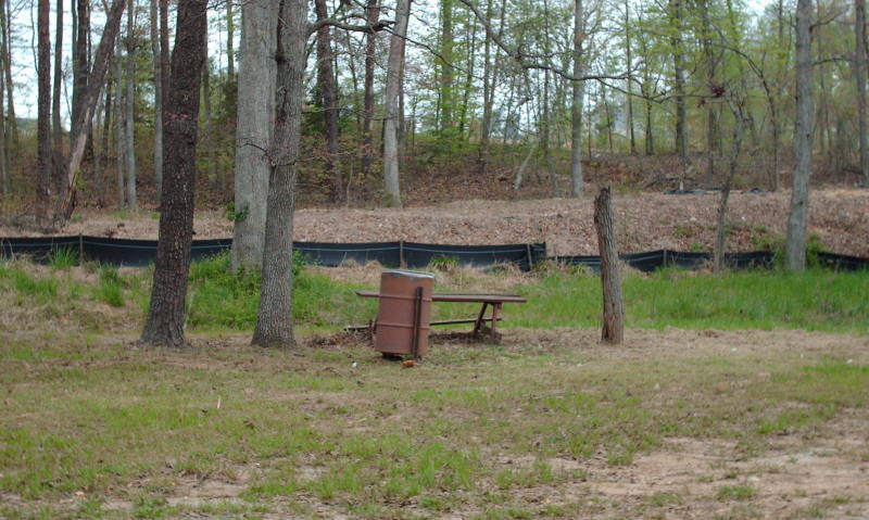
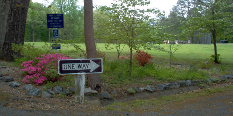
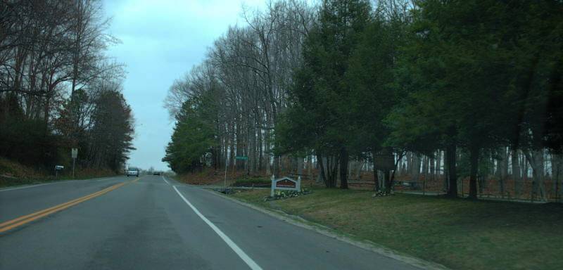
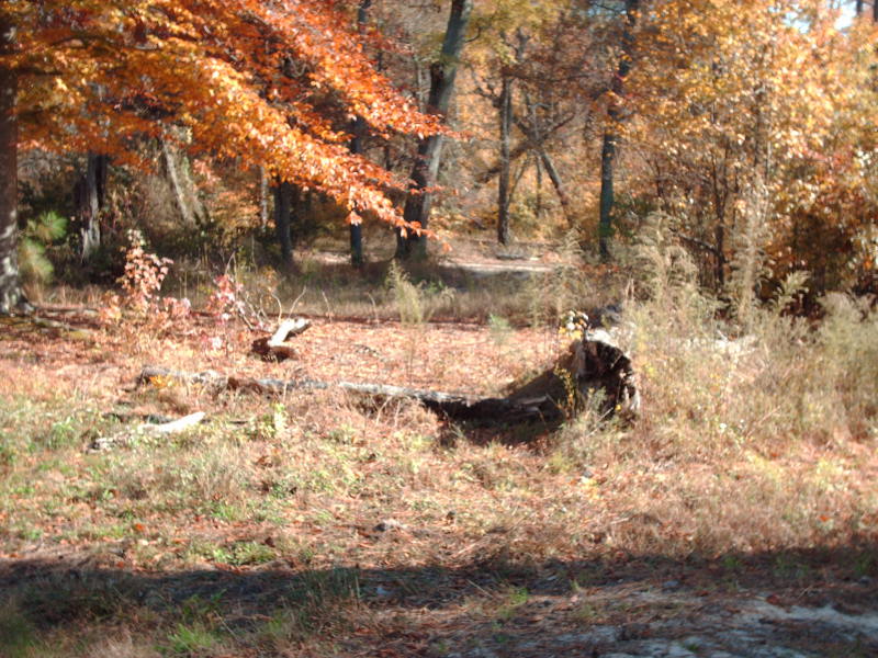
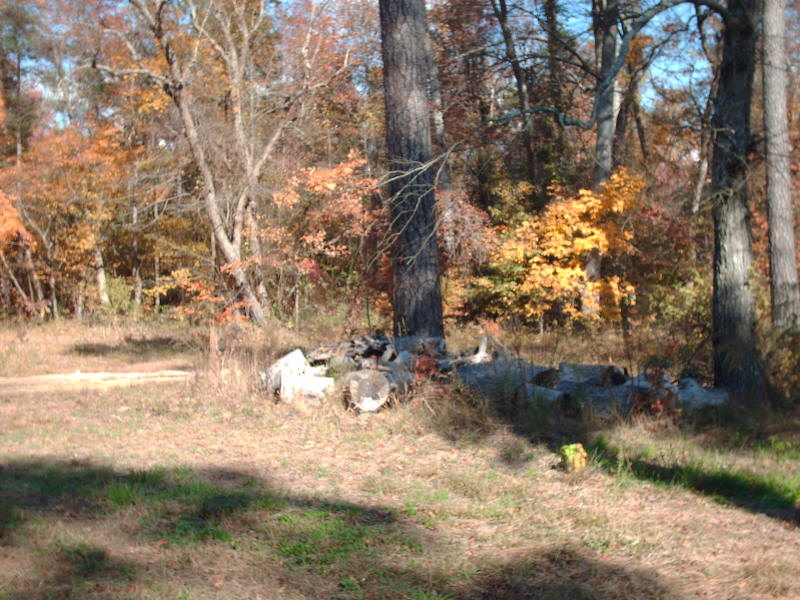
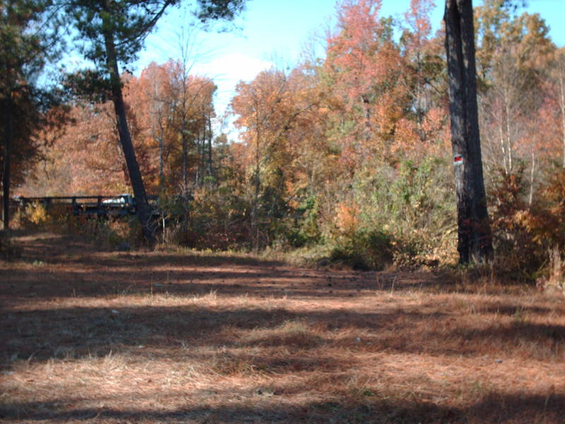
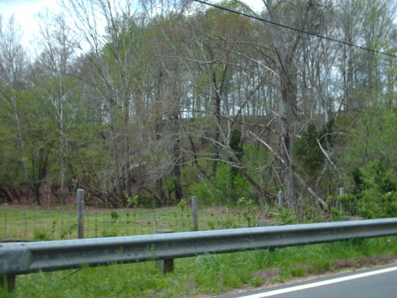
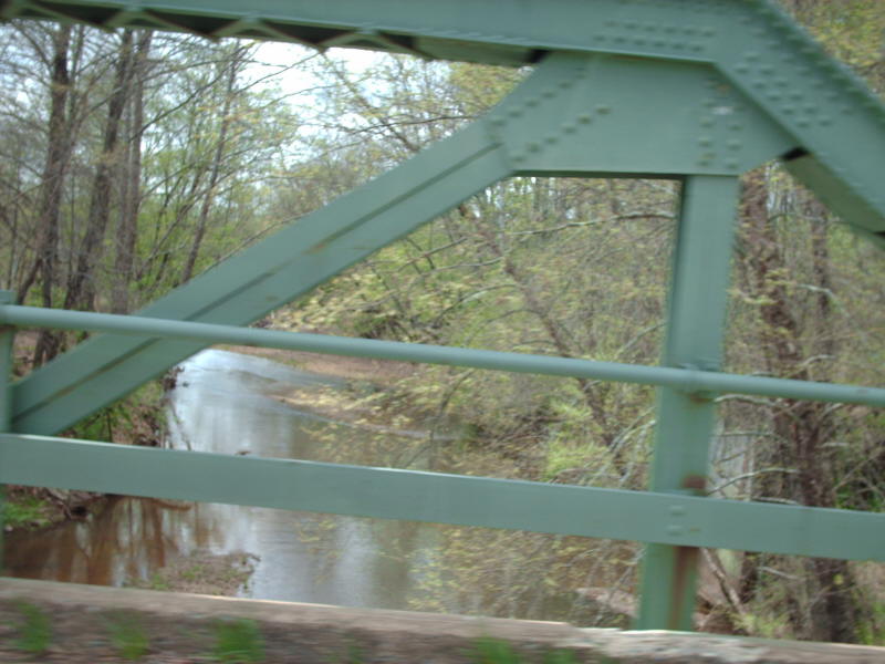
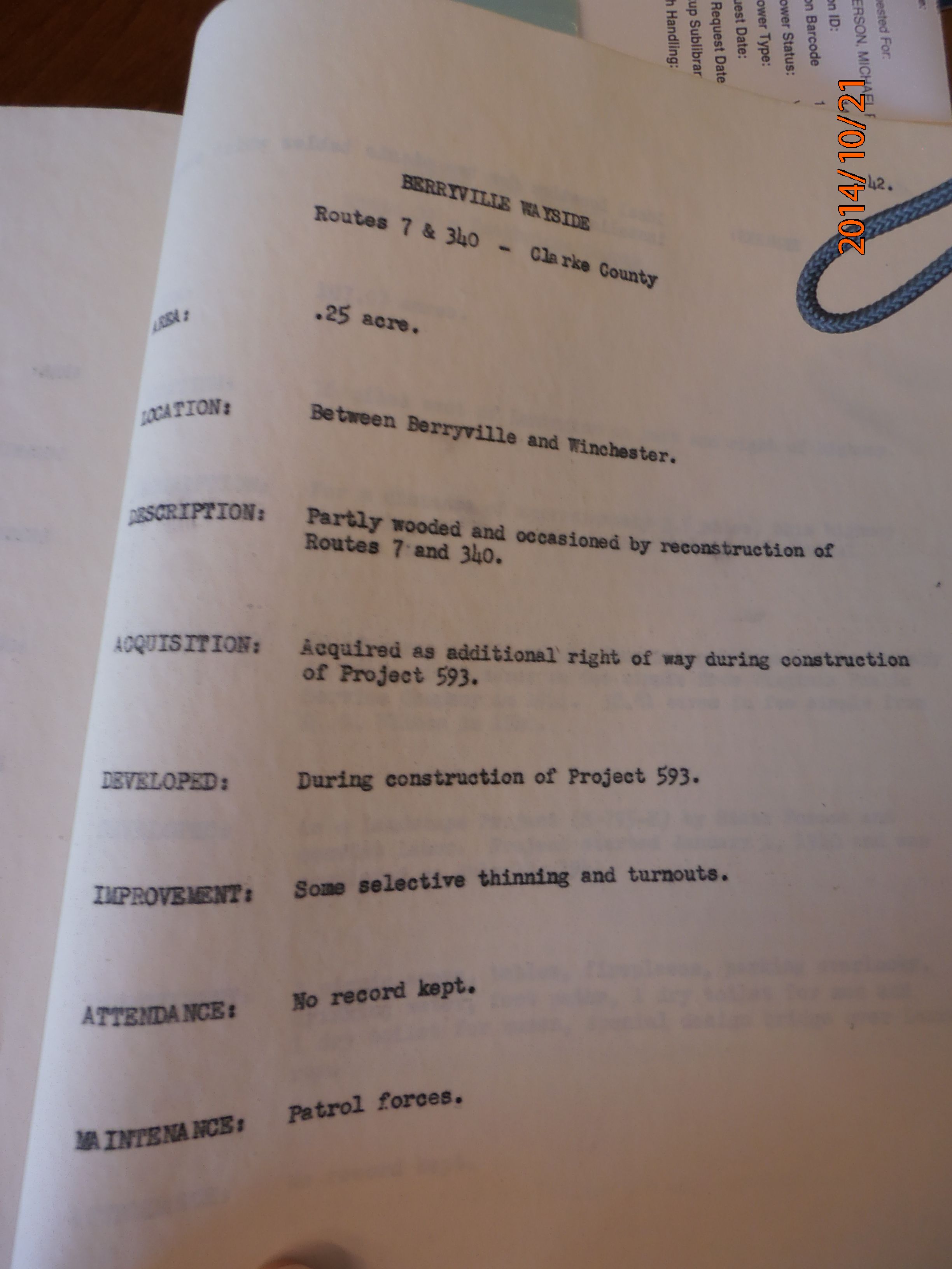
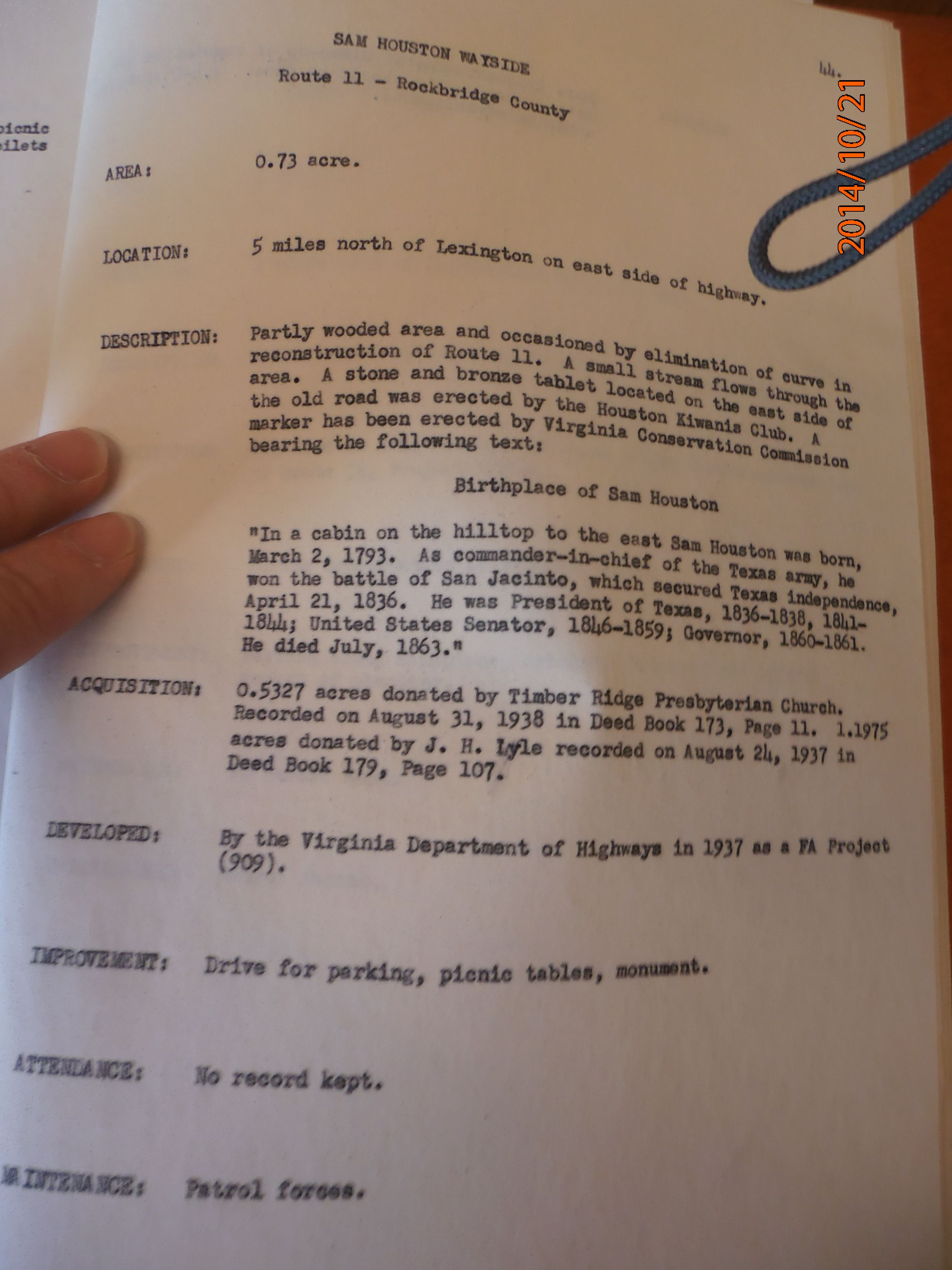
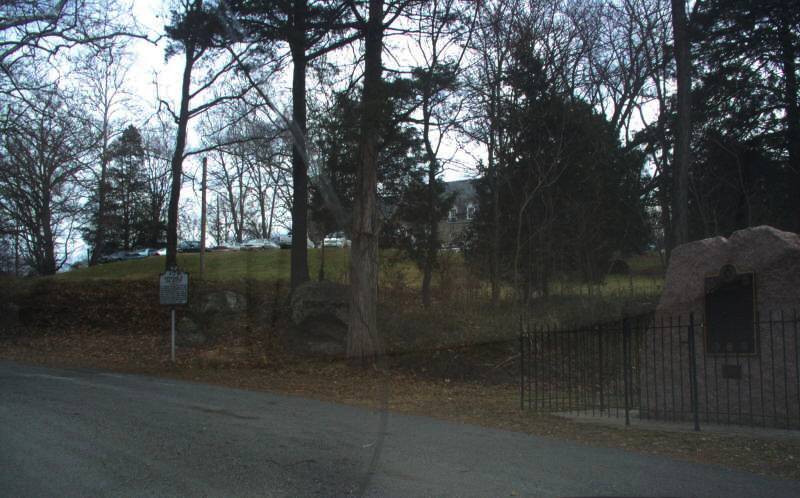
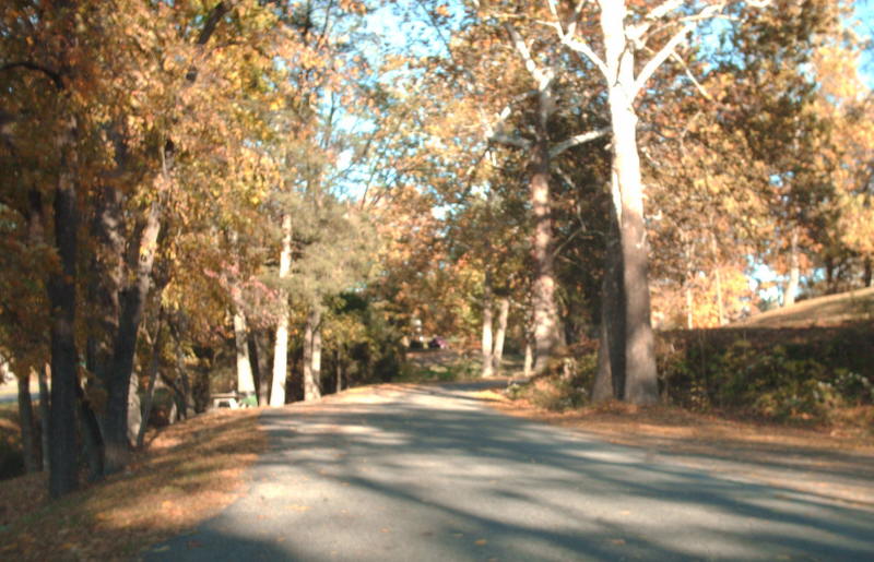
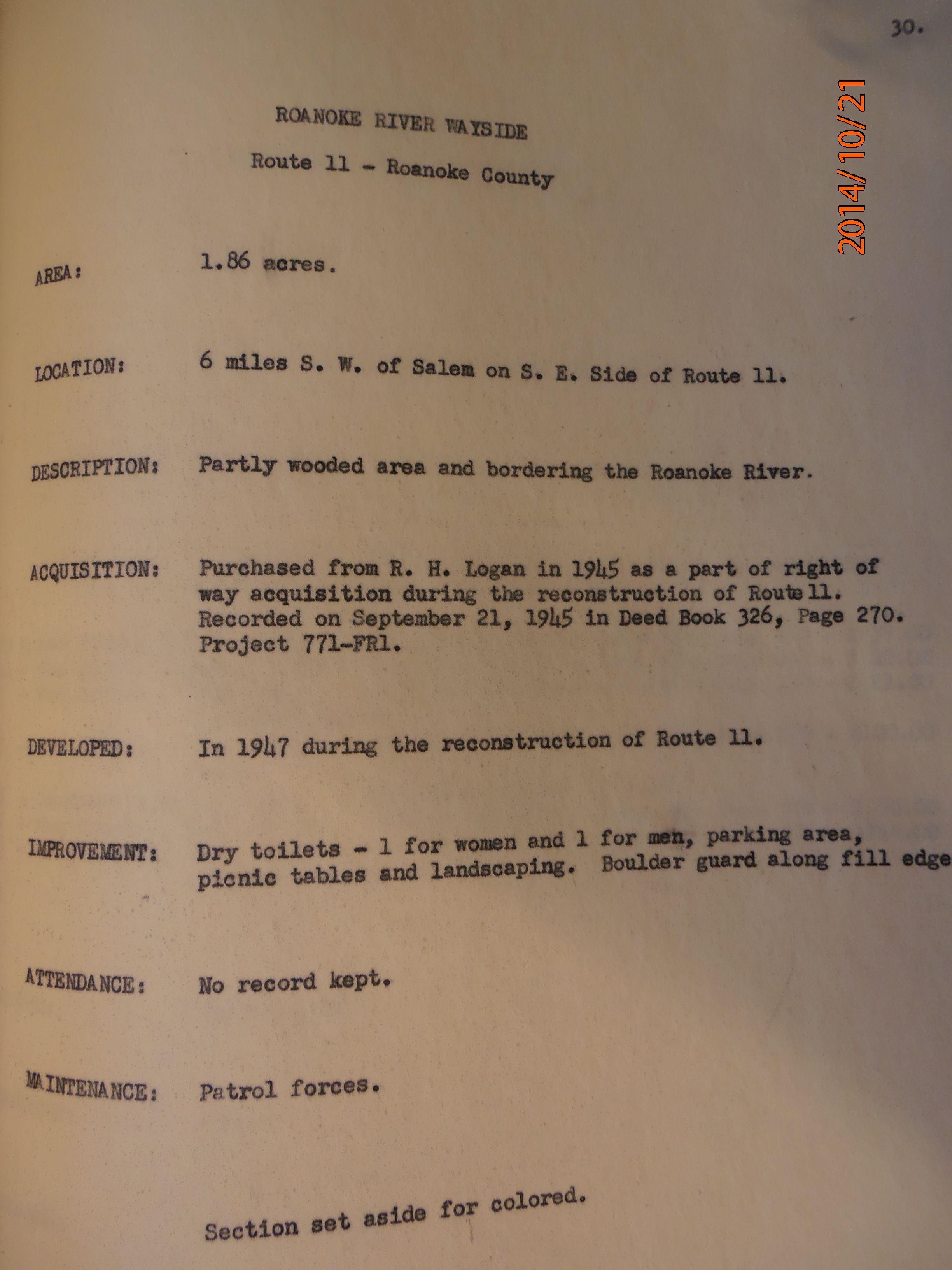
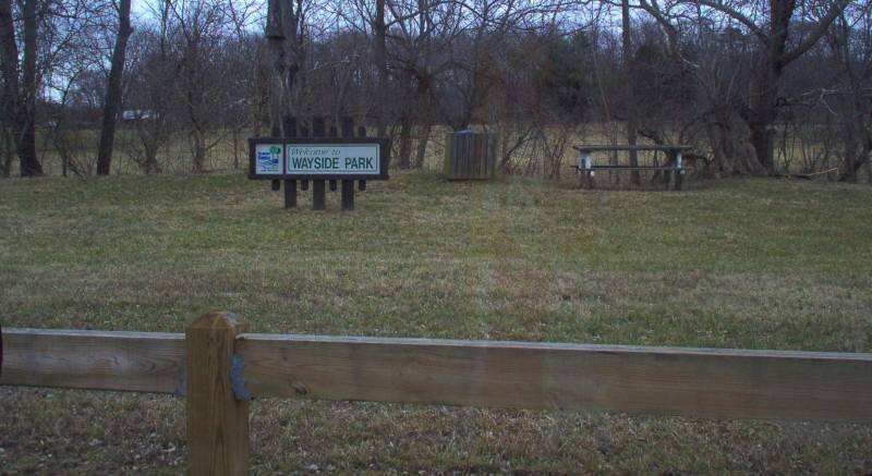
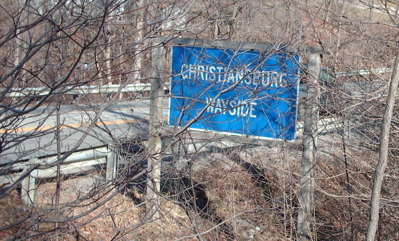
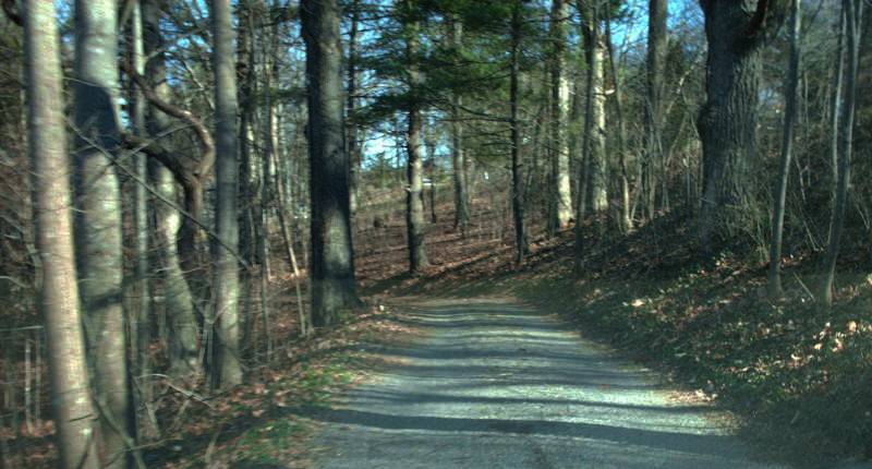
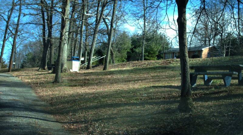
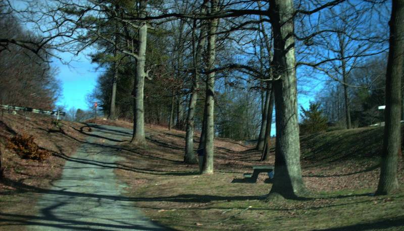
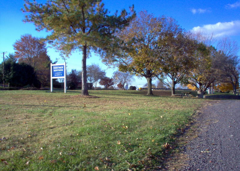
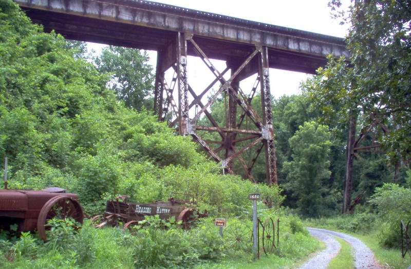
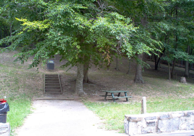
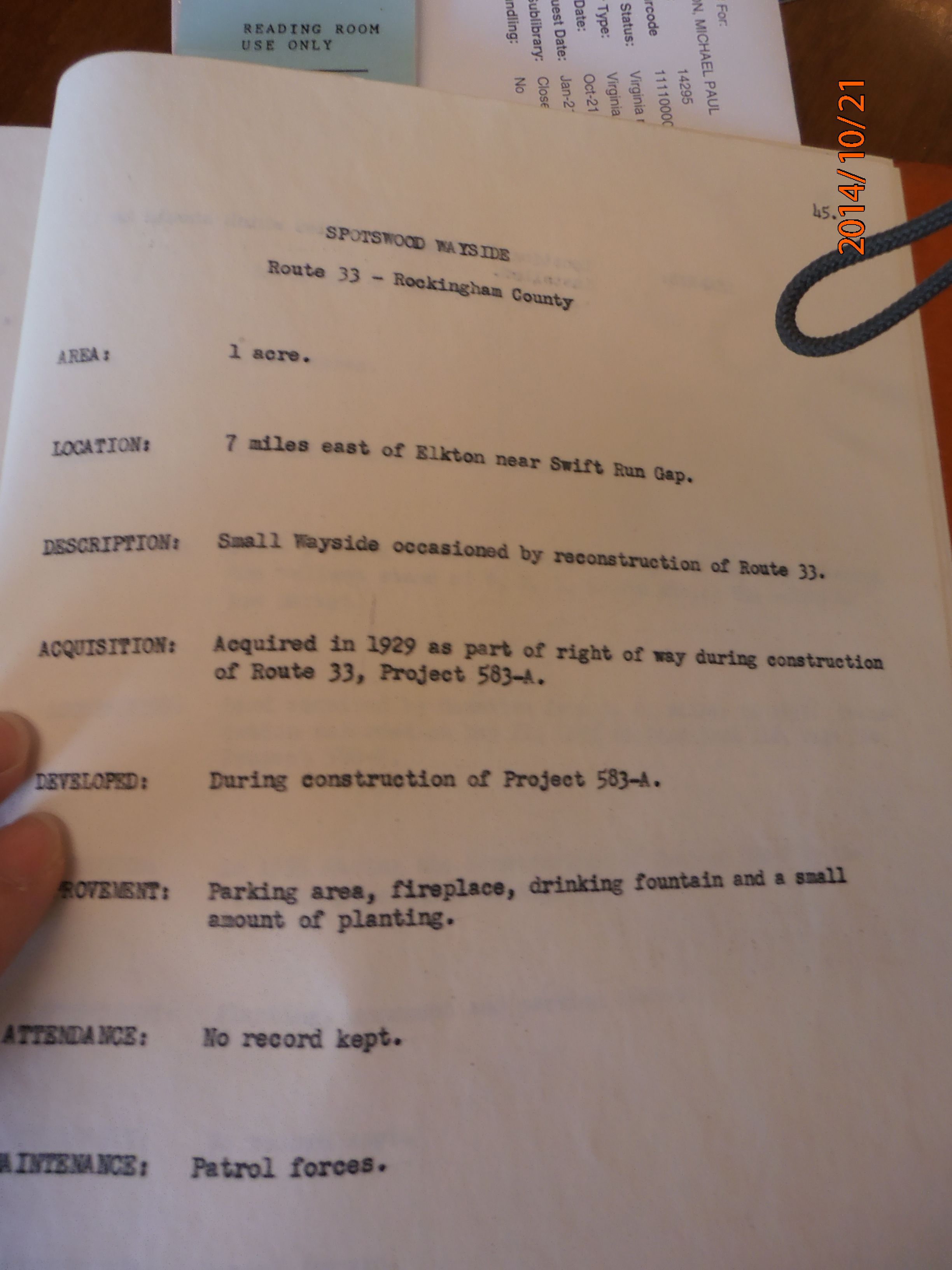
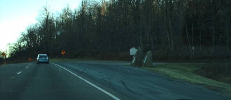
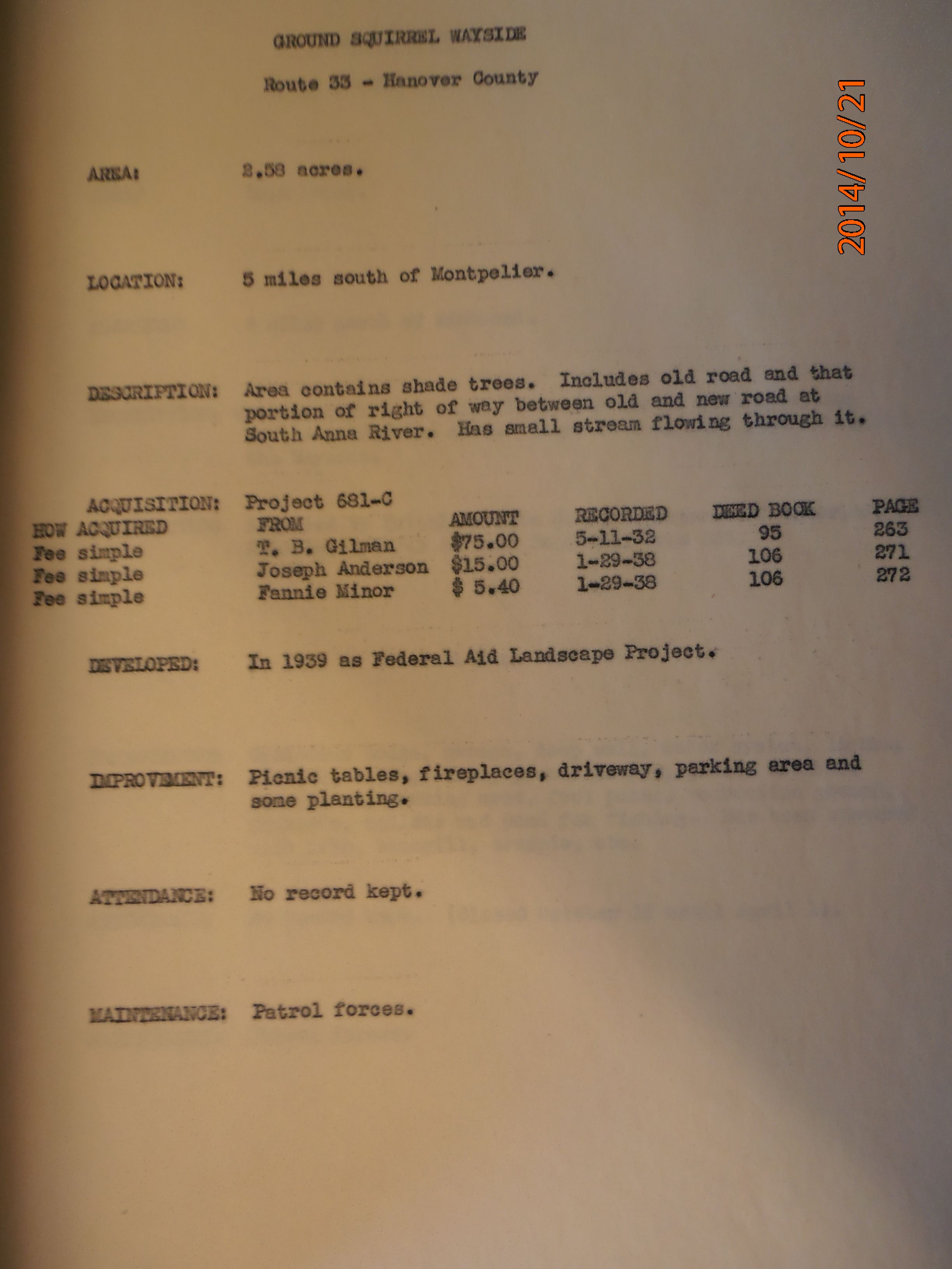
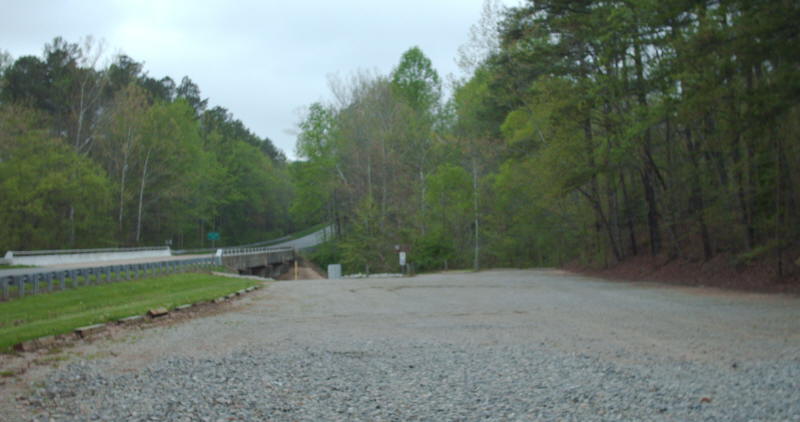
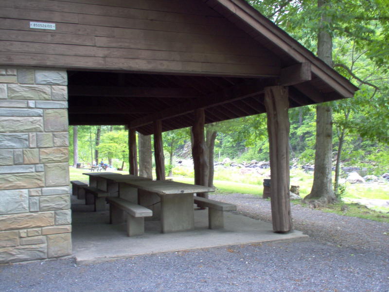
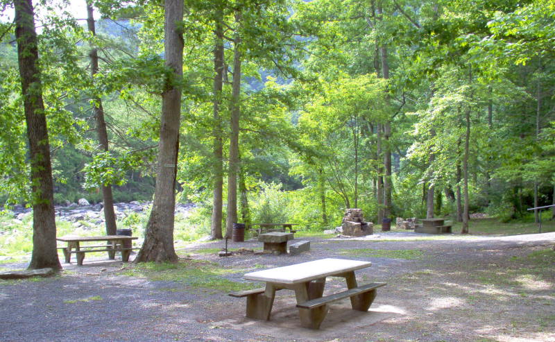
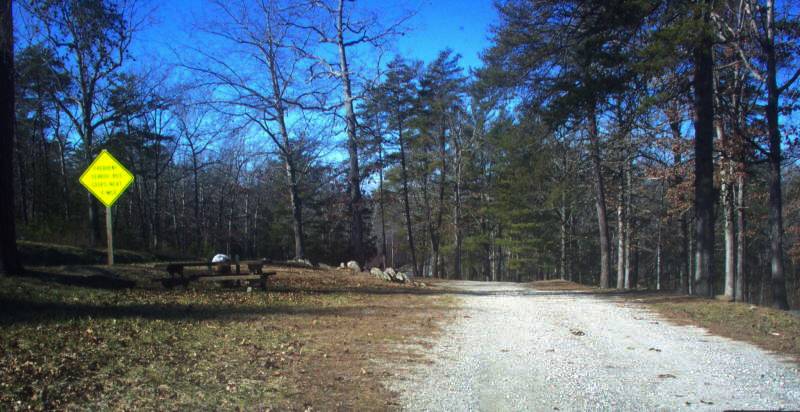
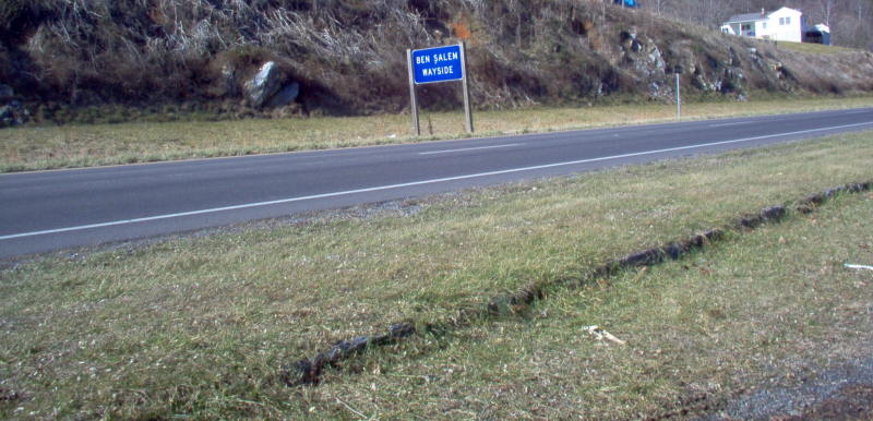
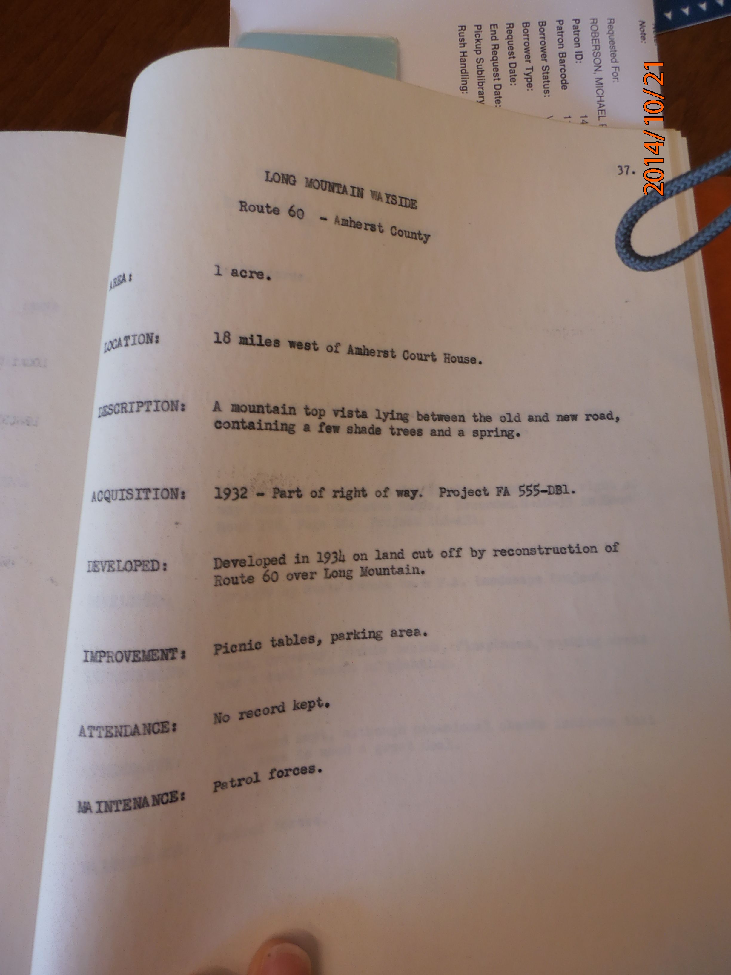
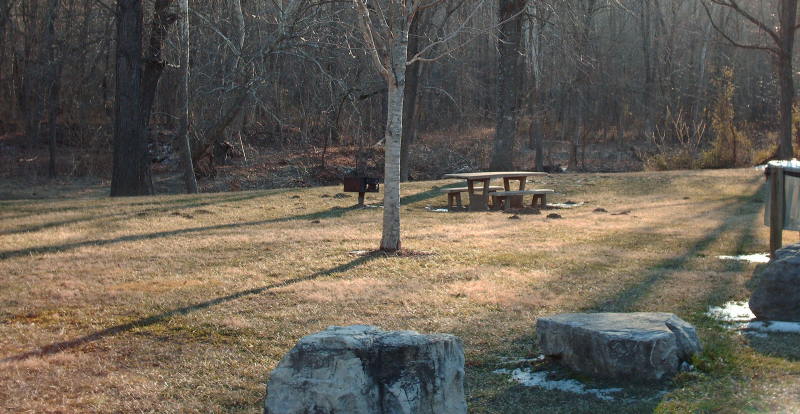
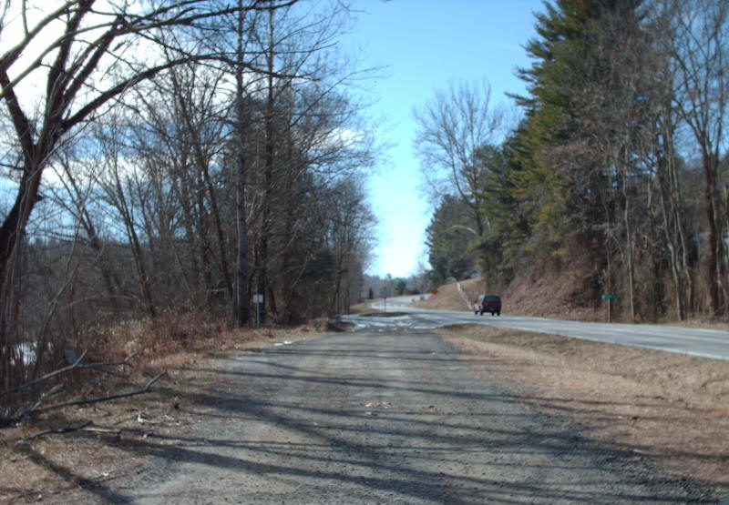
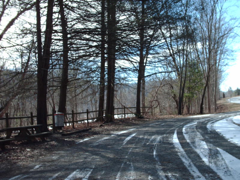
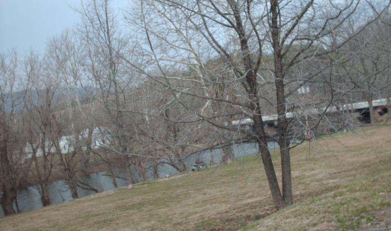
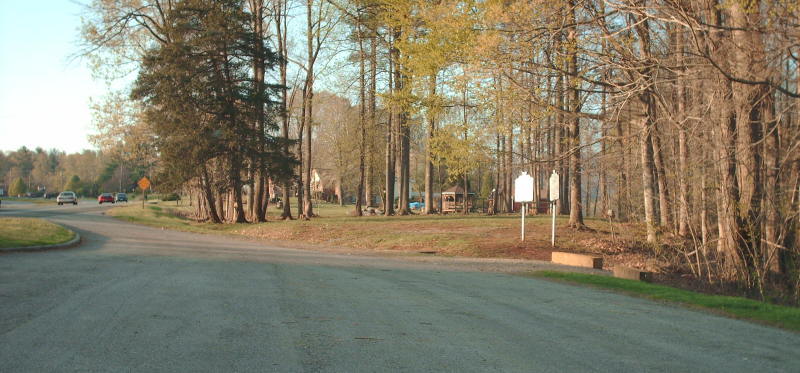
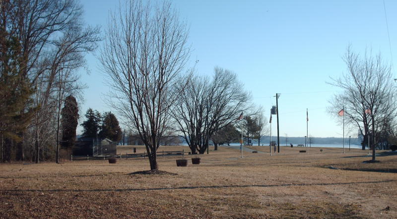
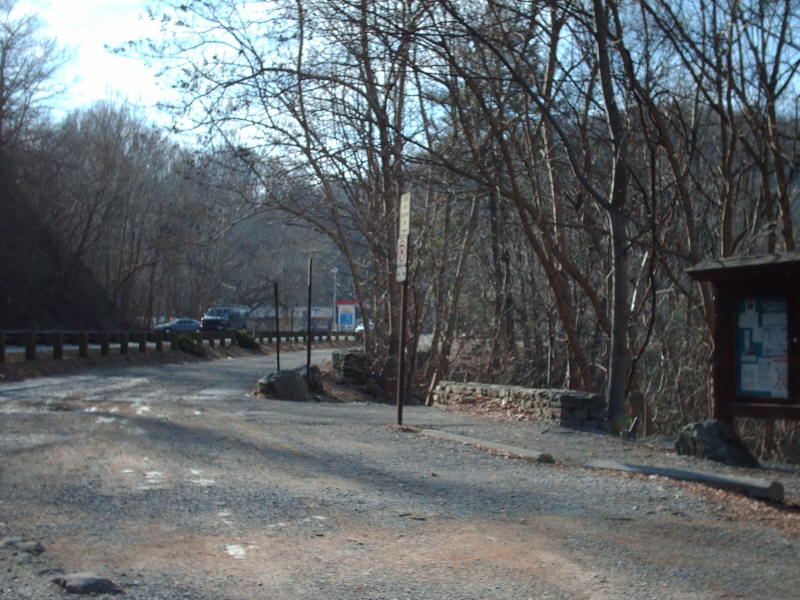
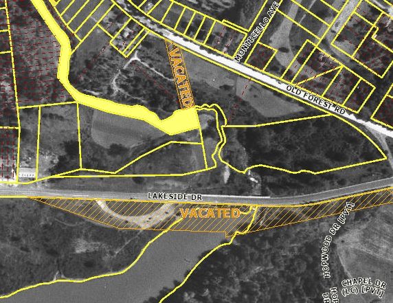
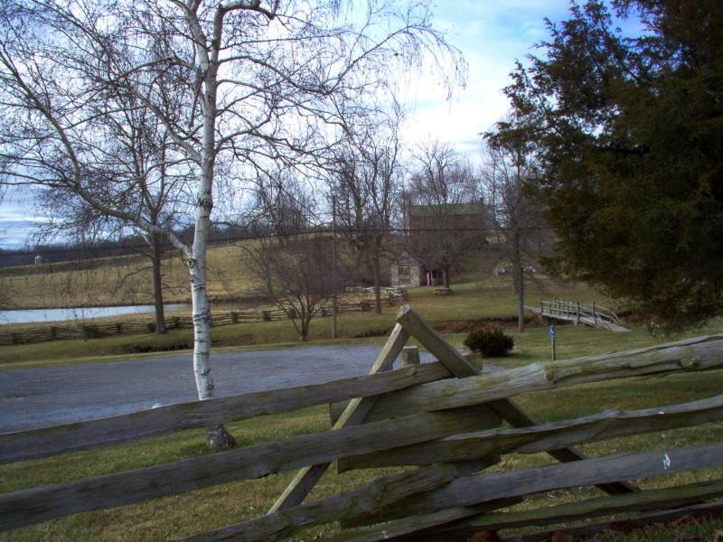
Waysides come in many different sizes, and could either have full facilities or none. Often, they were placed in lots created by the realignment of a highway.
Per an article in the July 1946 Virginia Highways Bulletin:
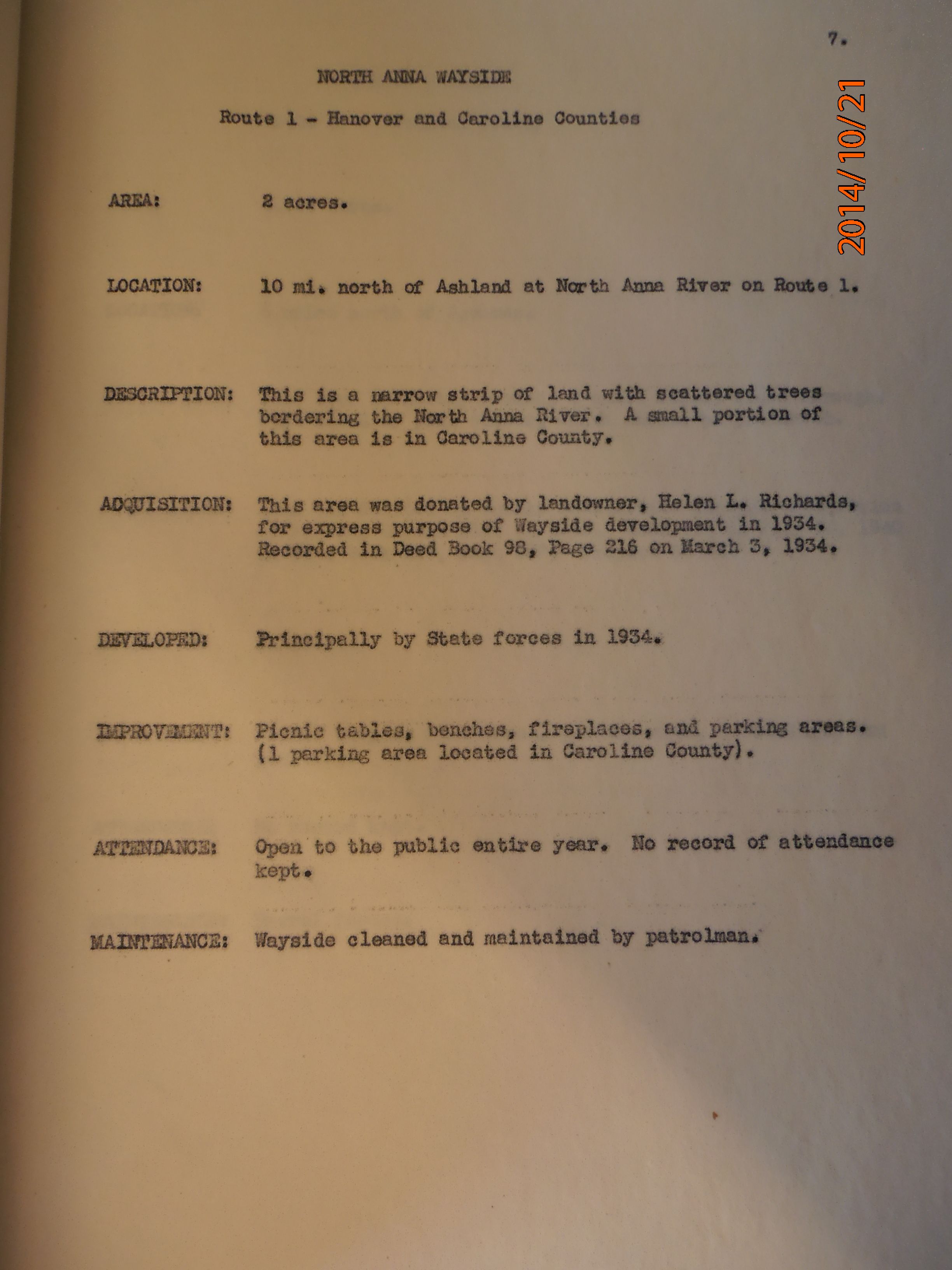
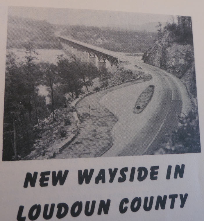
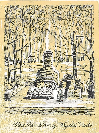
In the interest of safety, utility, and beauty, and to add to the pleasures of the traveling public, a system of waysides or small roadside park and parking areas was started in 1934.
A moratorium was placed on building new waysides in July 1953 (CTB) due to budget concerns. This moratorium was lifted in Aug 1964 (CTB) with the creation of the Arterial System of Highways in Virginia.
In June 1981, the CTB adopted the strategy of unloading waysides from the responsibility of VDOT as a cost savings measure (in that same document it mentioned Virginia also had 1400 (!) Roadside Tables).
Waysides were listed and shown on the pictorial history map shown on the reverse of Official State Maps beginning with the July 1937 issue until 1982-83, except for the Bicentennial Issues of 1975 and 1976.
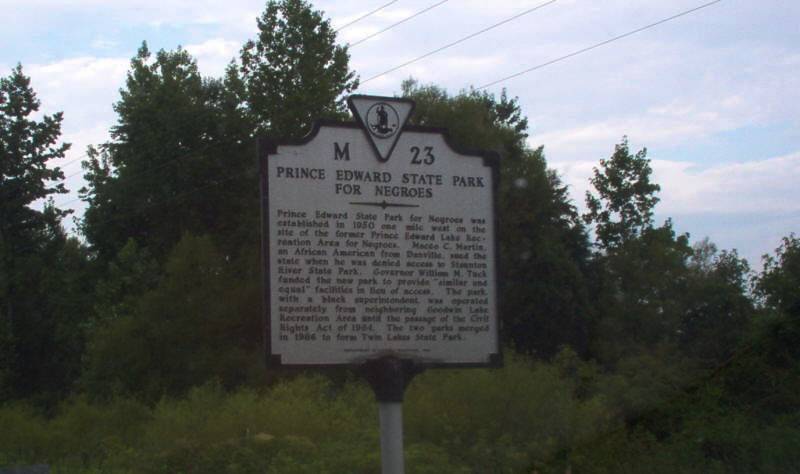
It turns out that some waysides have existed that were never listed on the reverse of Official Maps.
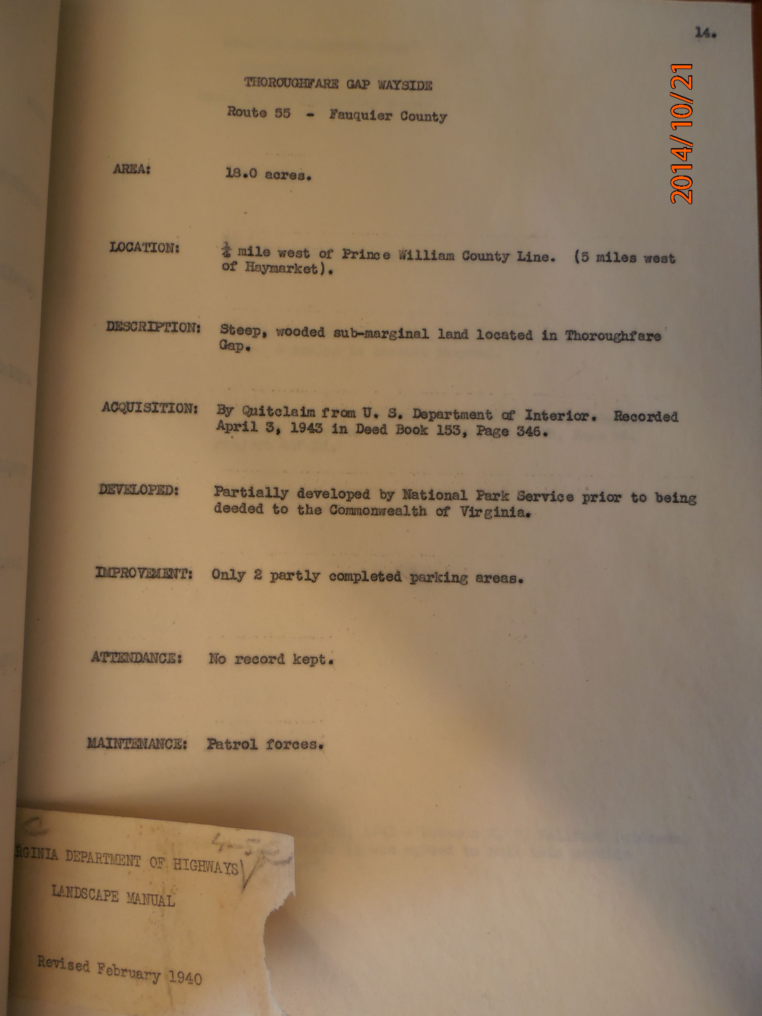
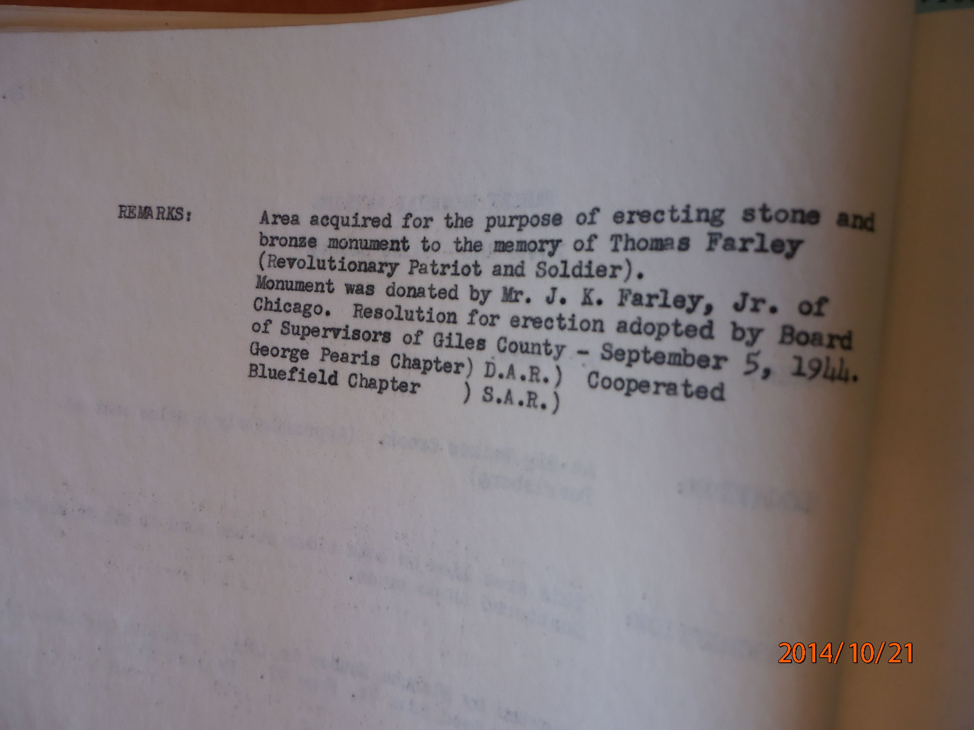
Three waysides were proposed and apparently never approved for Essex, Giles, and Wise Counties in locations that were not given at all in the Aug 1952 CTB.
Some appear in the 1949 Route Log and the CTB Minutes list at least a couple more.
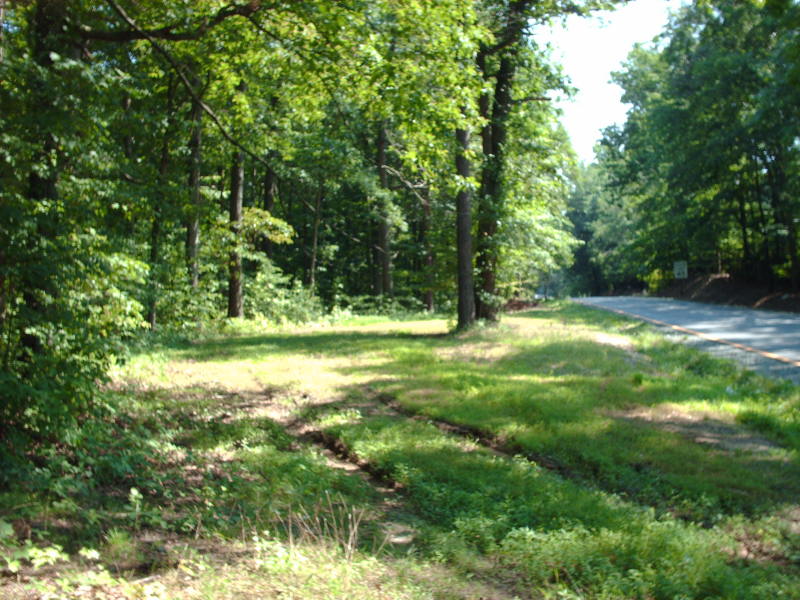
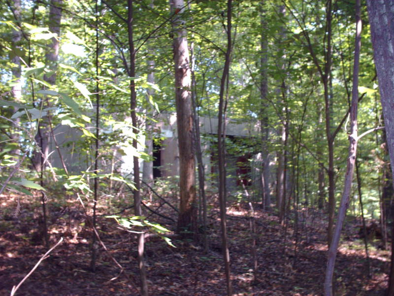
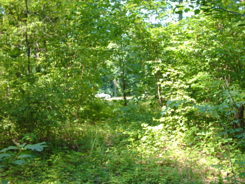
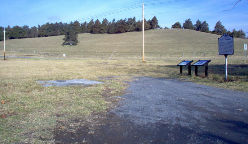
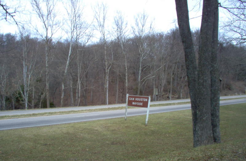
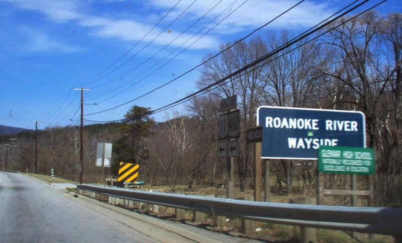
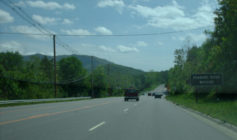
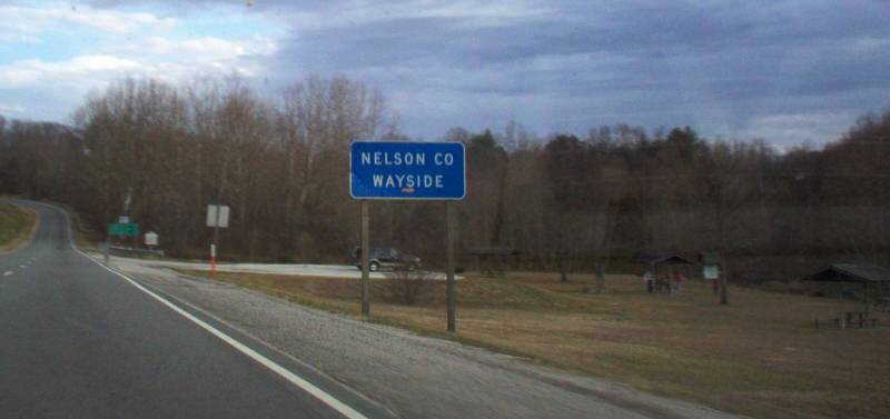
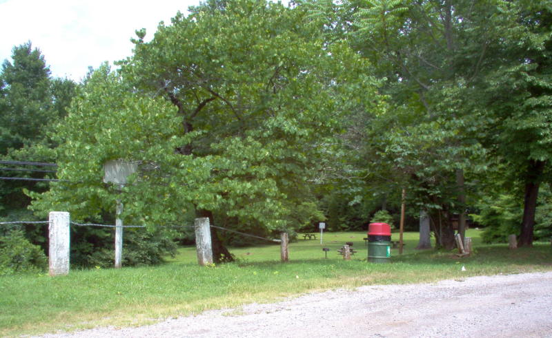
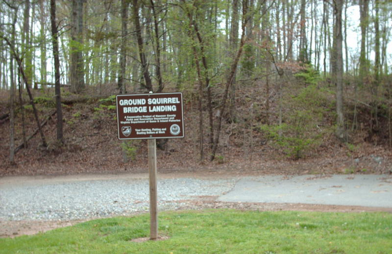
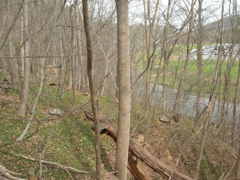
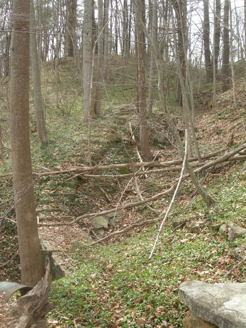
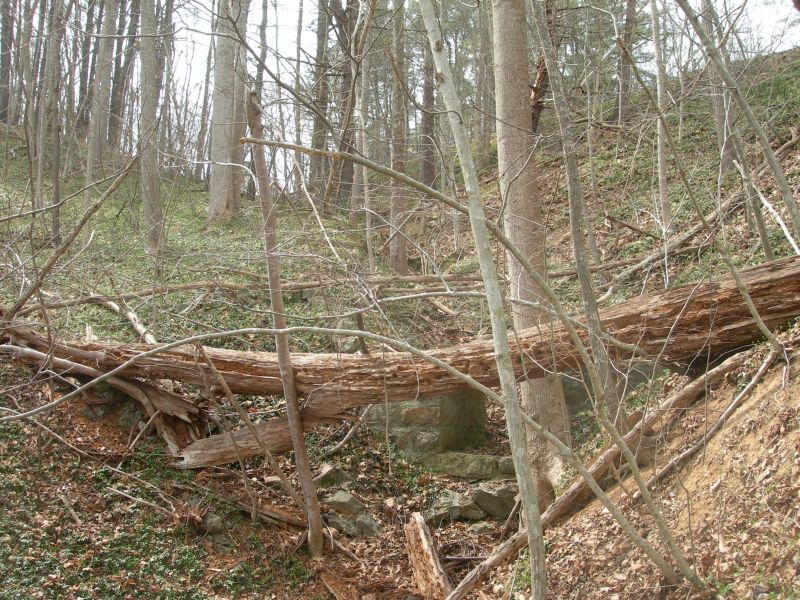
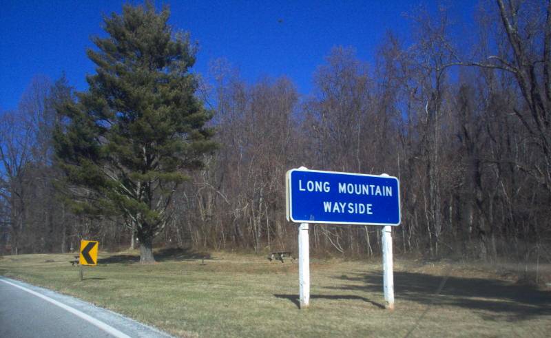
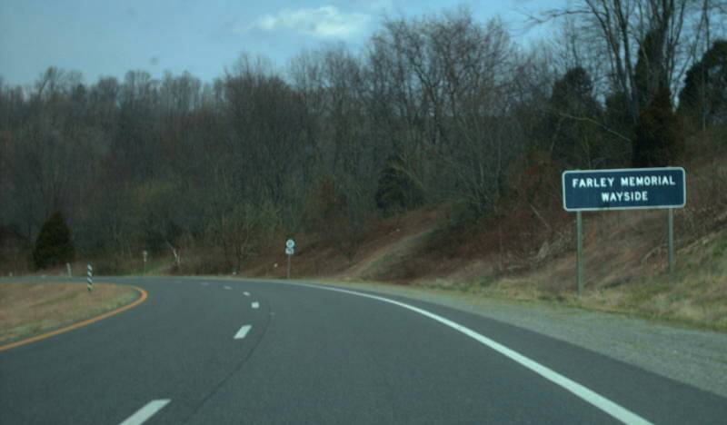
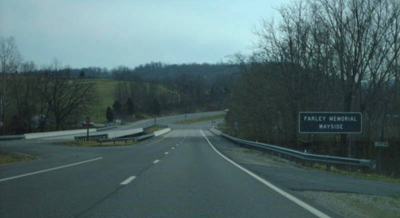
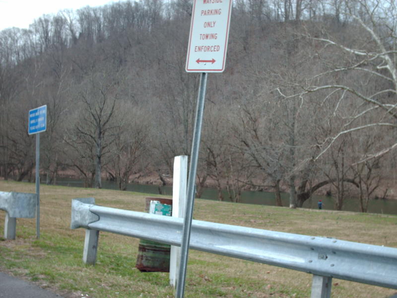
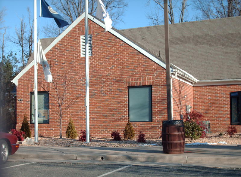
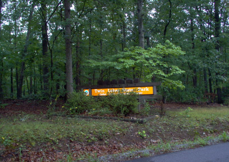
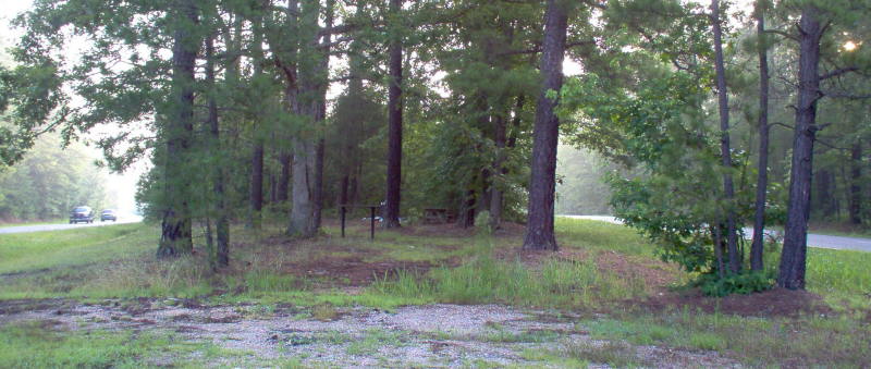
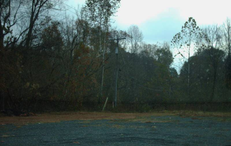
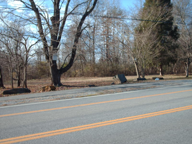
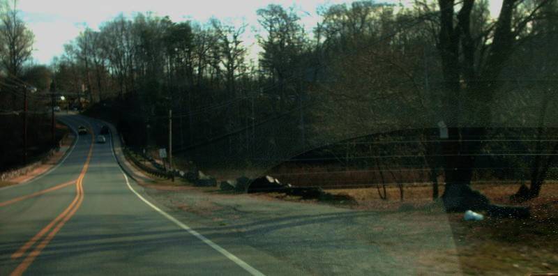
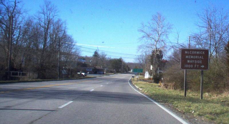
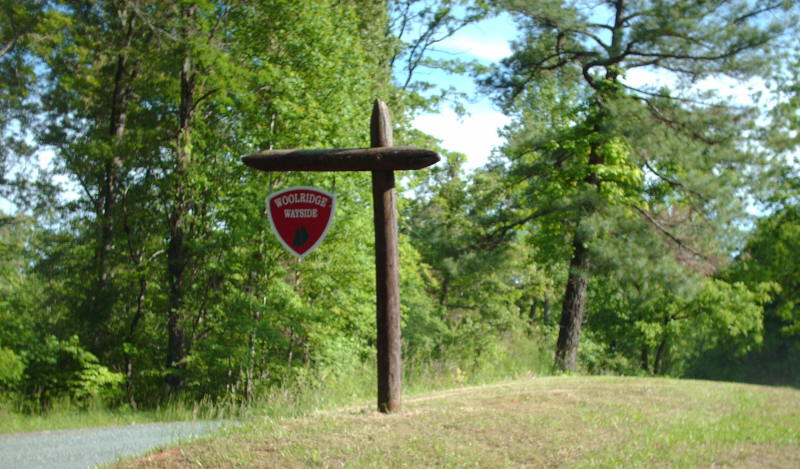
Although no longer listed, some Waysides continue to exist, maintained for public use. The list below (arranged by route number, just like the lists were) includes a note about the current status, if I know what it is.
There have been at least 74 waysides listed on the maps at some point.
Last Update (7/7/17):
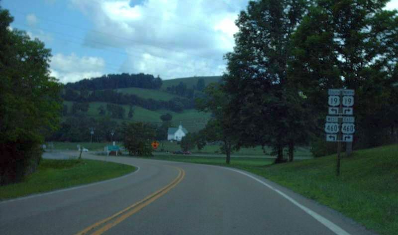
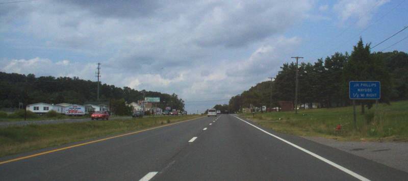
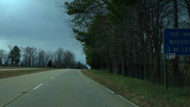
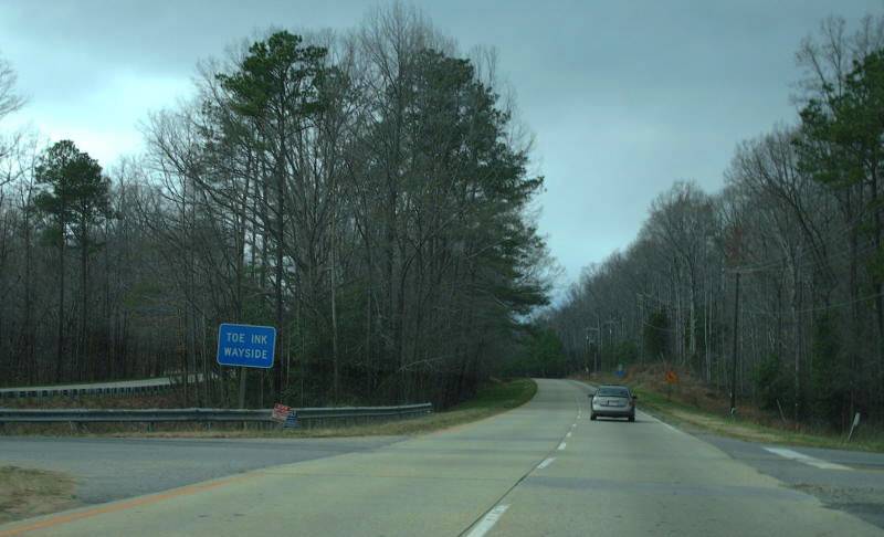
New waysides identified: "turnout" (US 11); Crab Orchard (US 19); Leland-Madison (VA 20); Pendleton (US 33); South Boston (US 501)
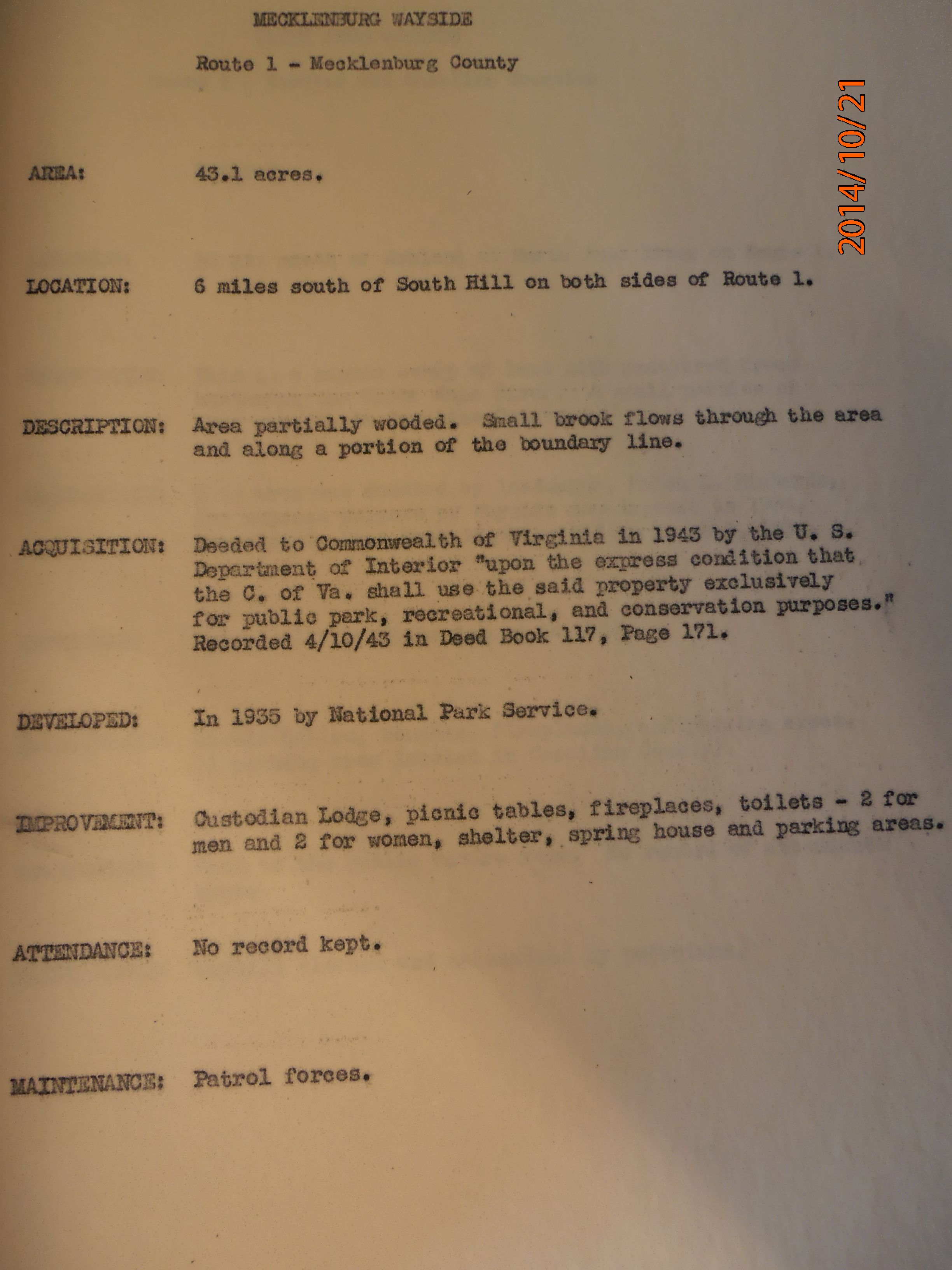
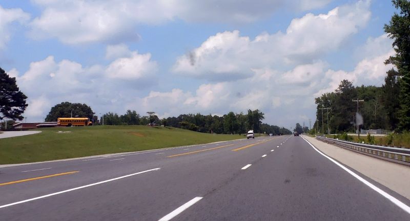
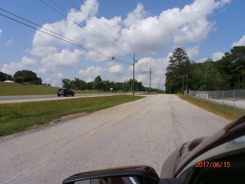
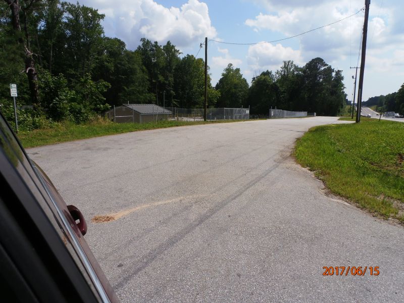
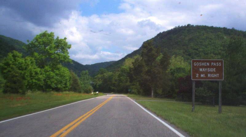
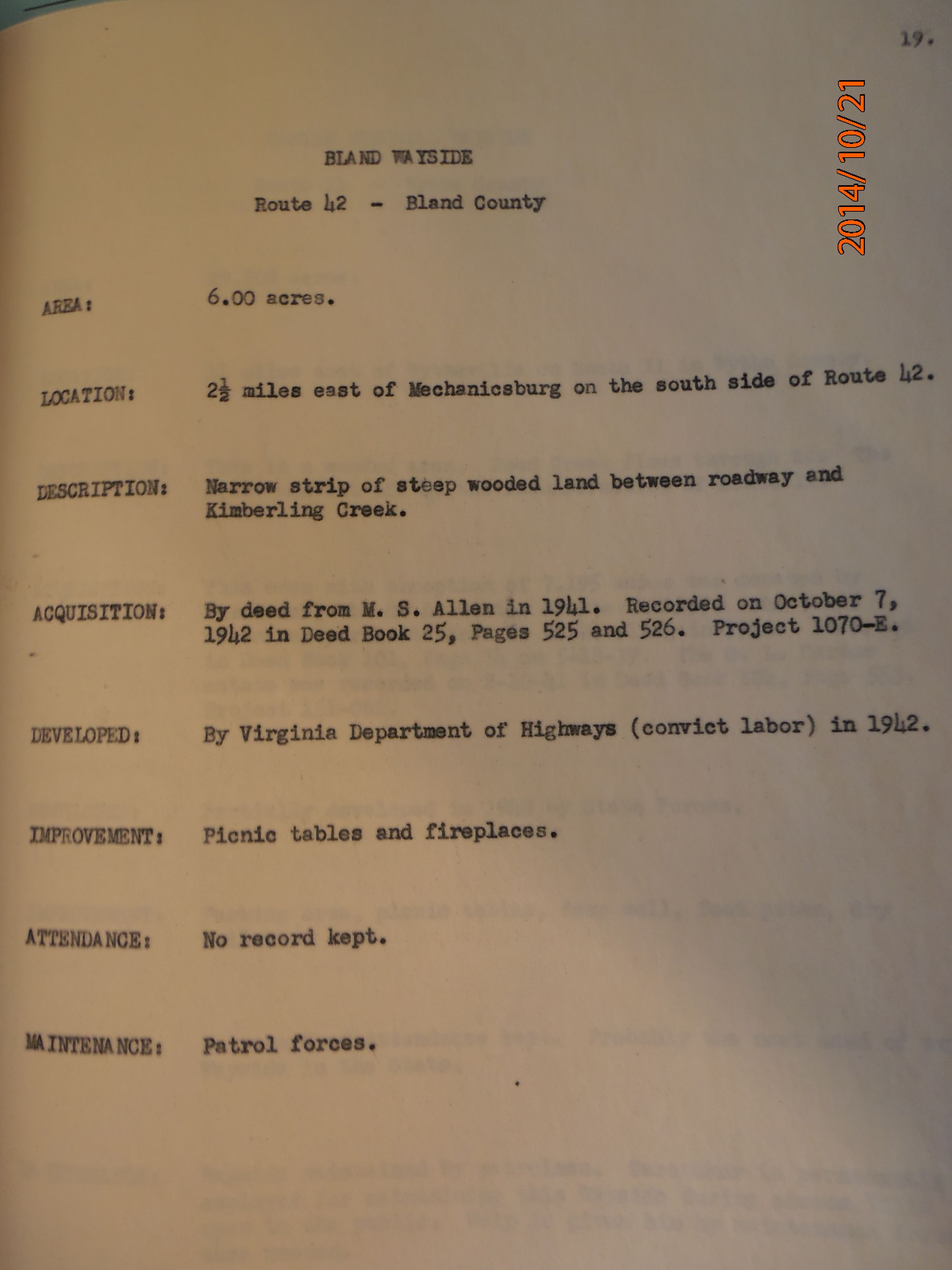
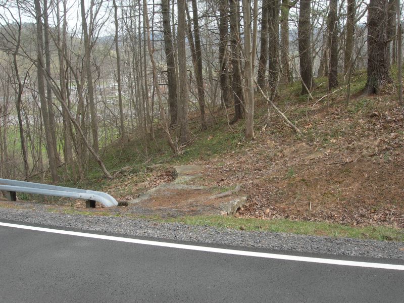
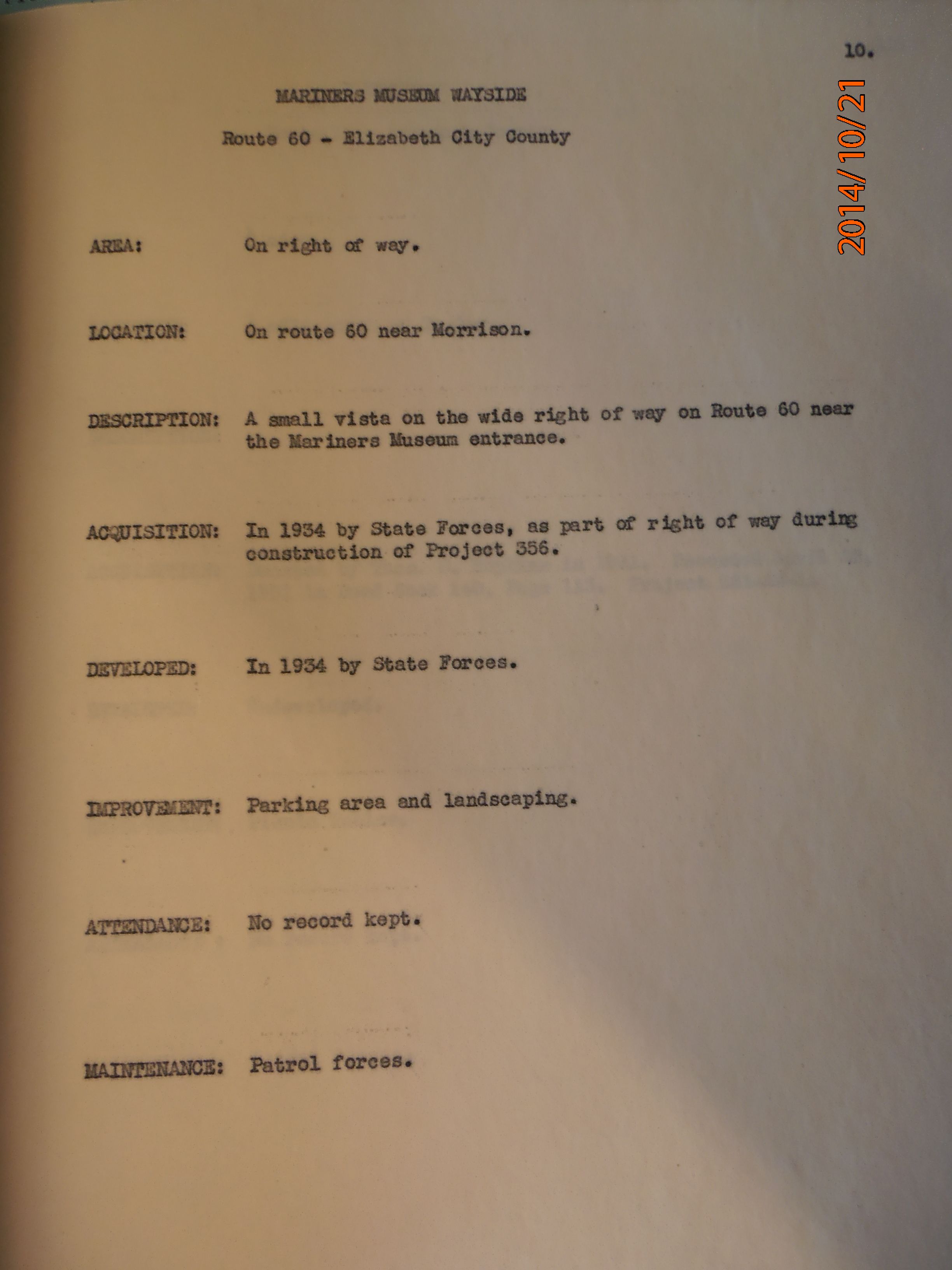
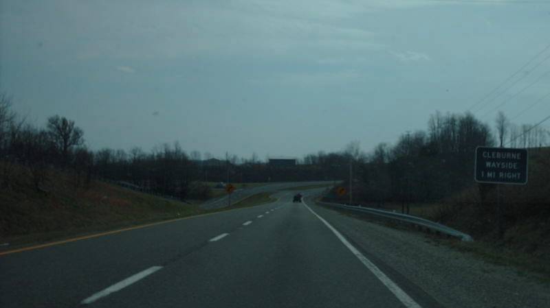
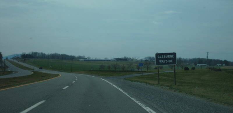
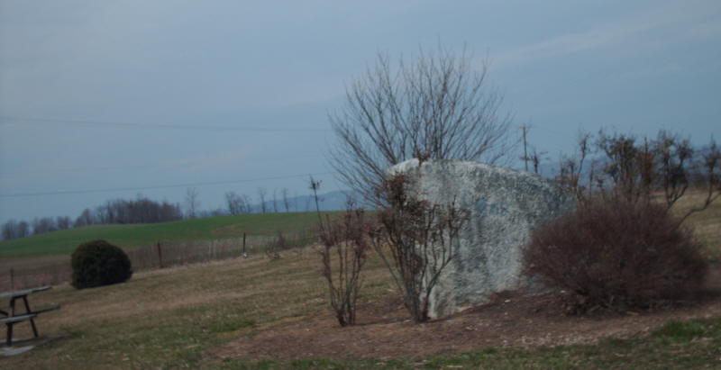
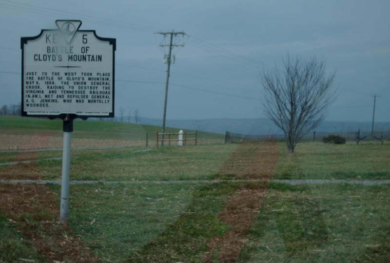
Location discovered: Mecklenburg (US 1), Madison (US 29), "Wayside" (US 29), Bland (VA 42), Mariners Museum (US 60), Cleburne (VA 100),
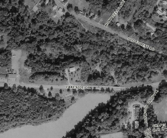
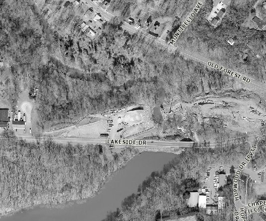
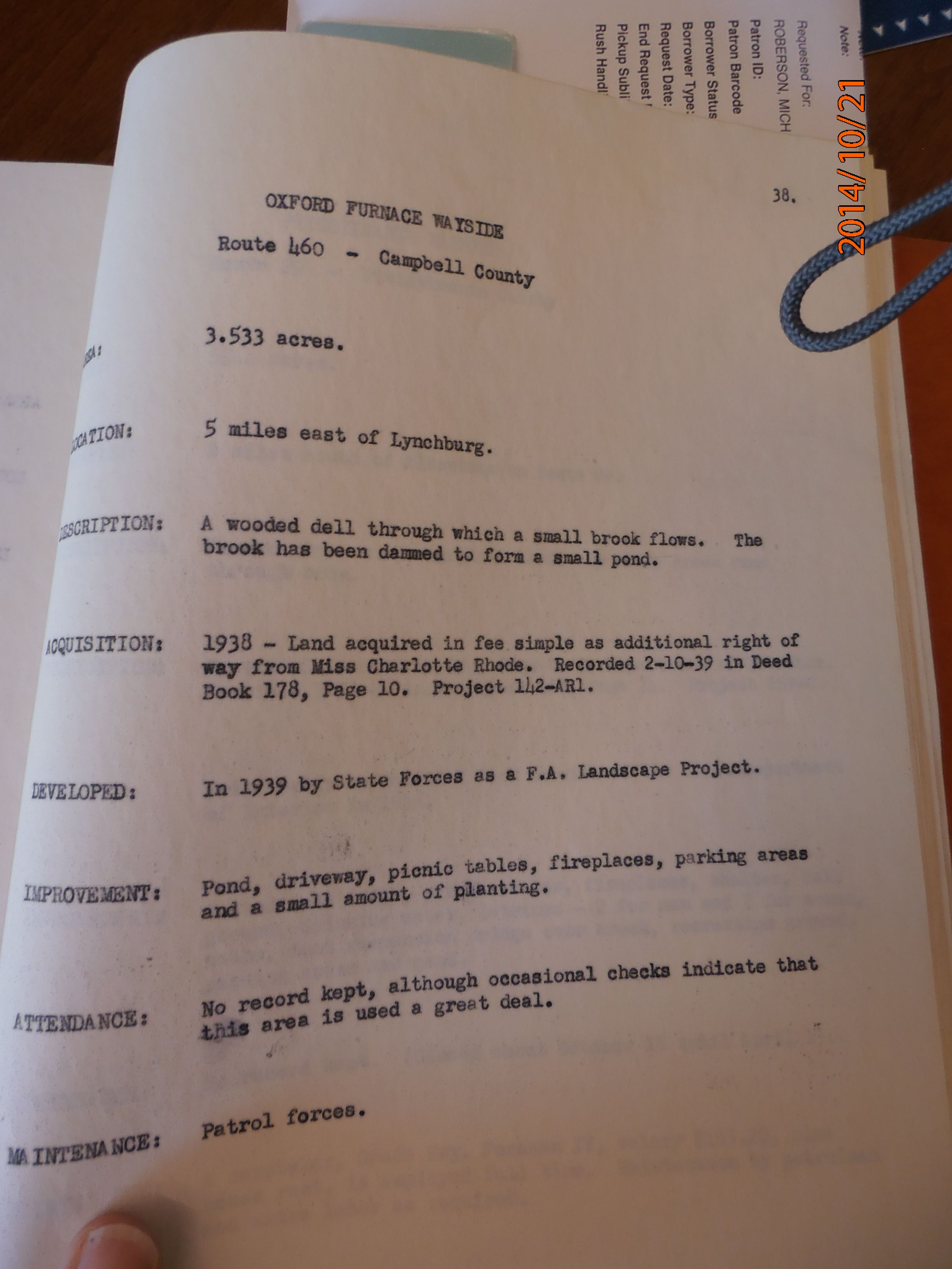
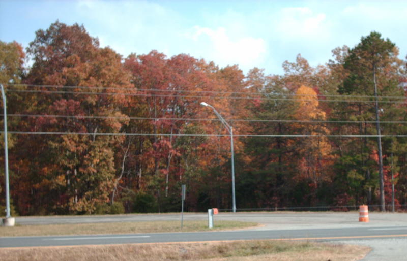
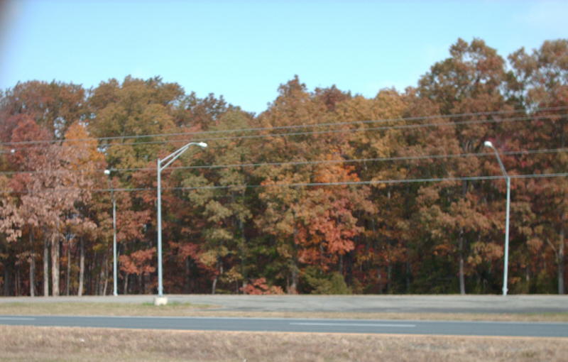
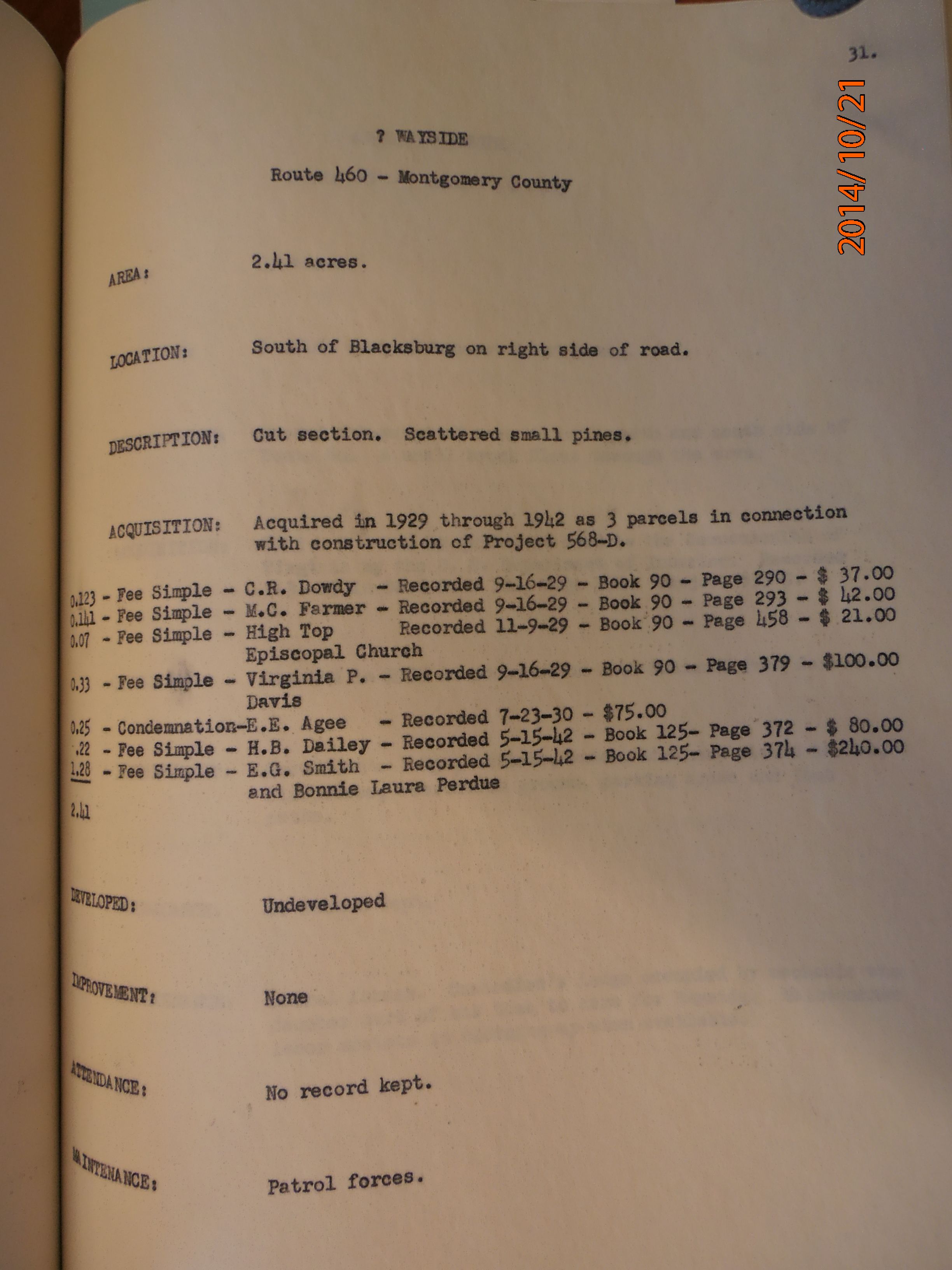
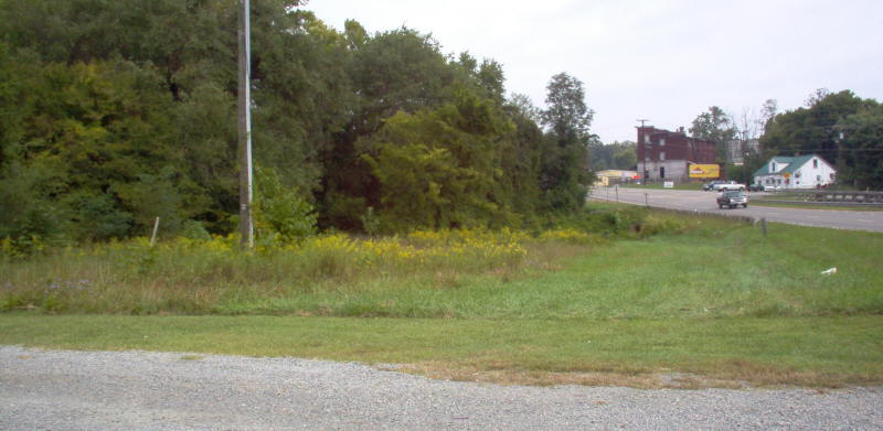
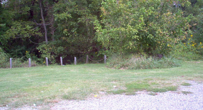
Rich Creek (US 460), Montvale (US 460), Oxford Furnace (US 460), "Wayside" (US 460), Grassy Creek (US 460)
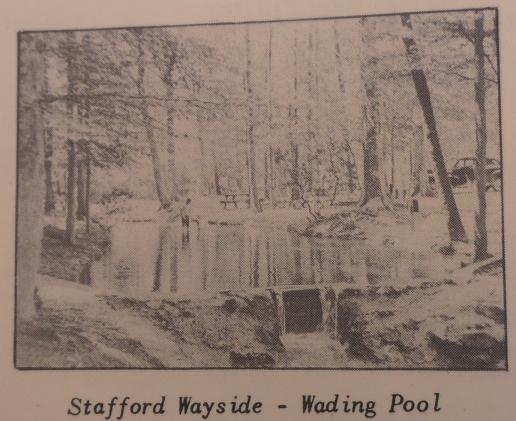
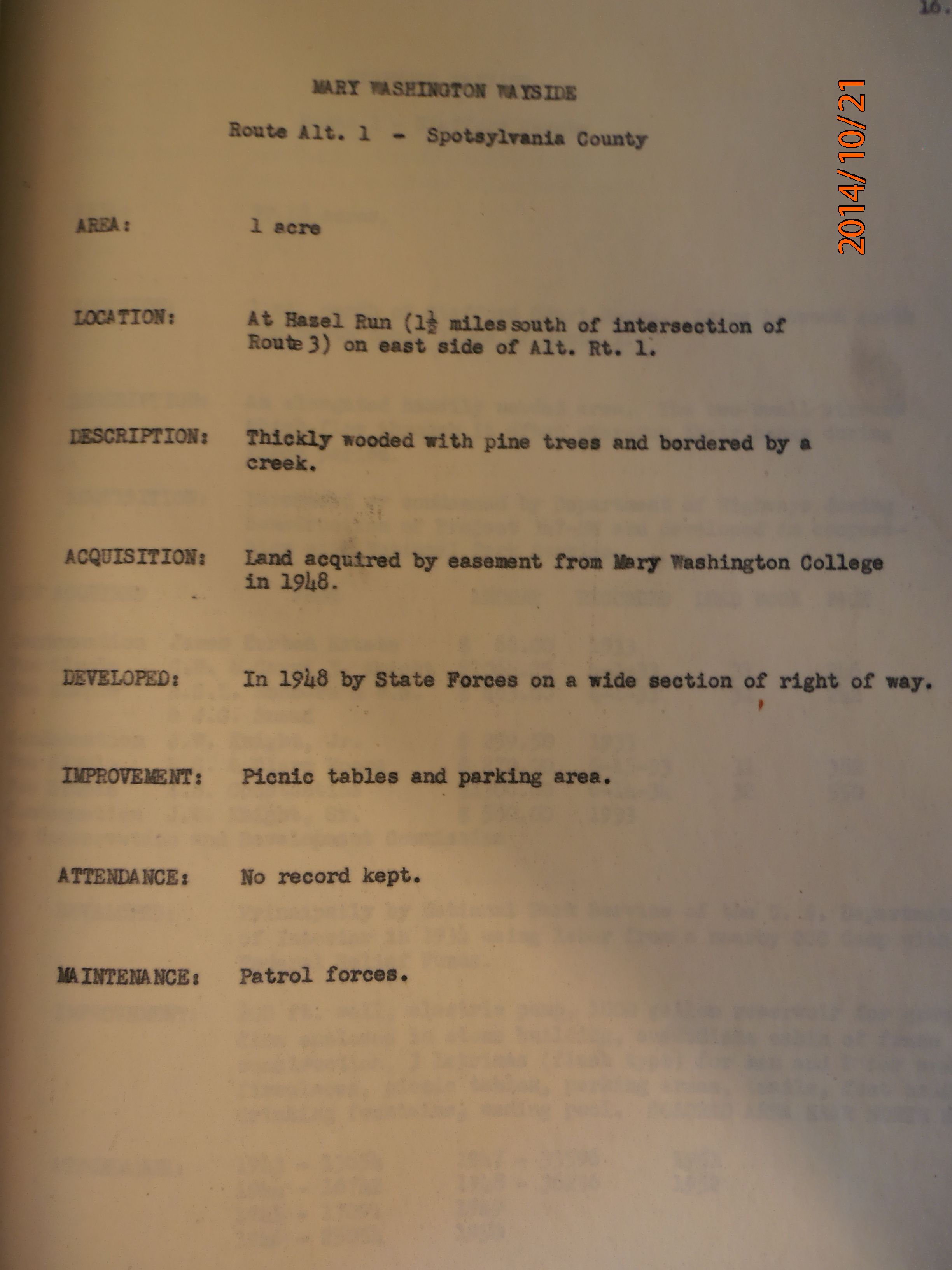
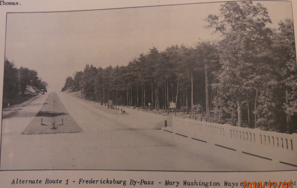
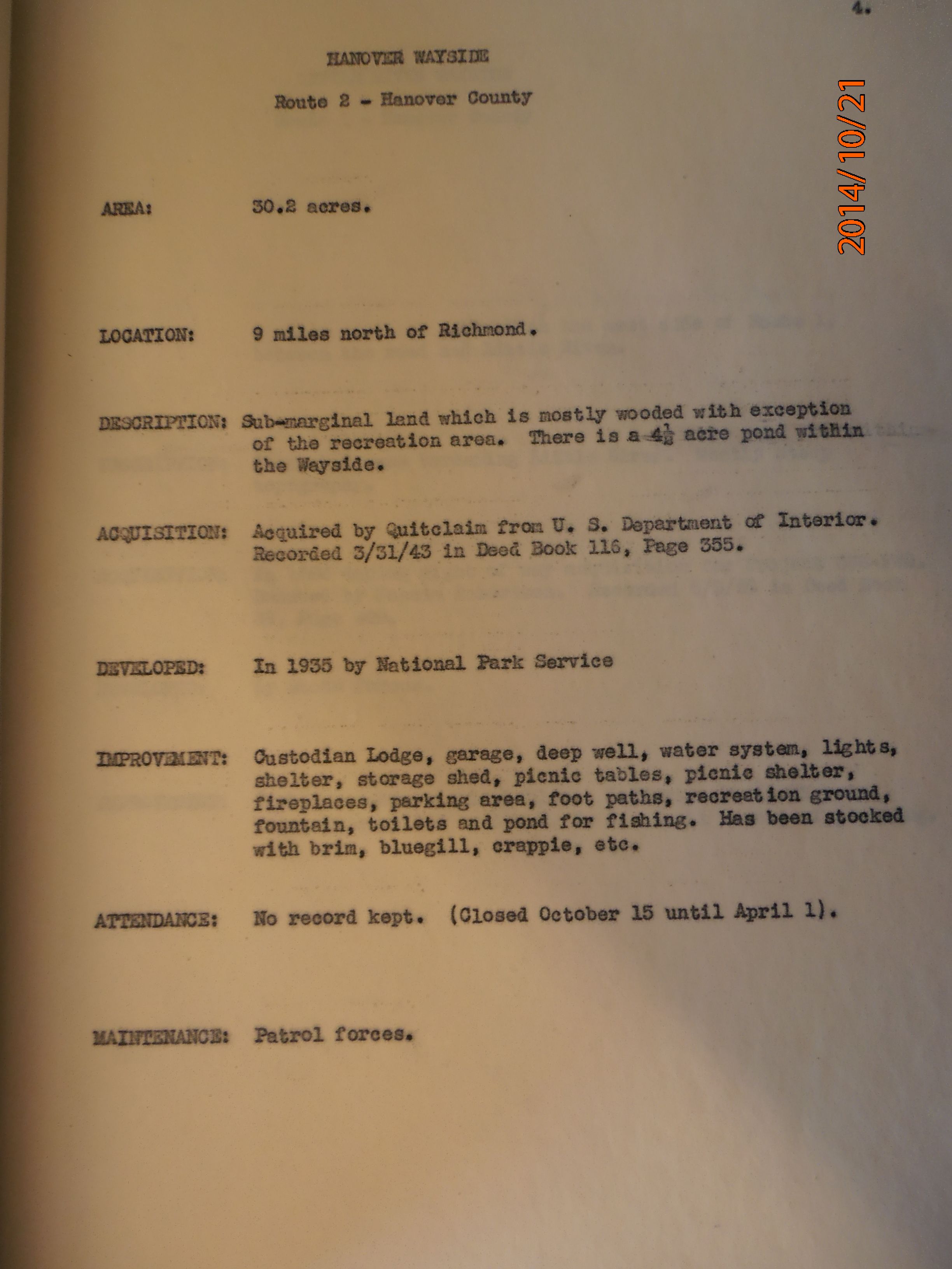
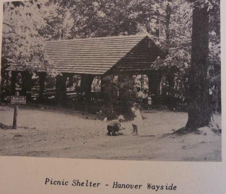
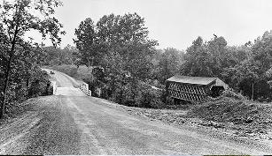
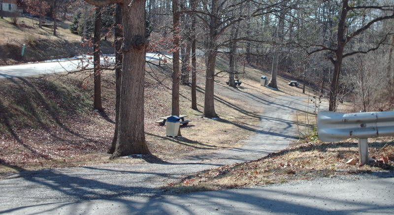
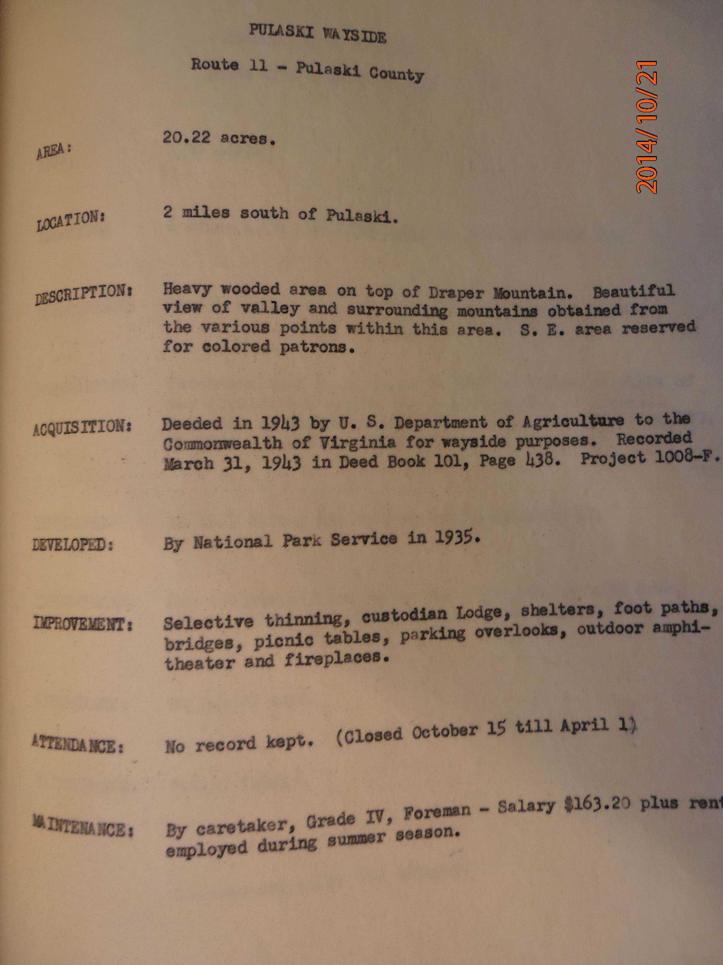
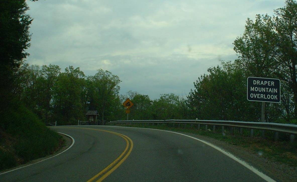
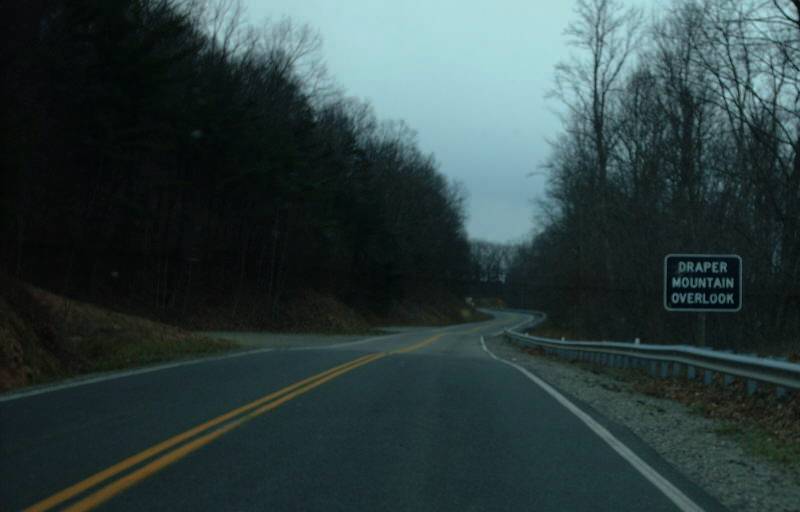
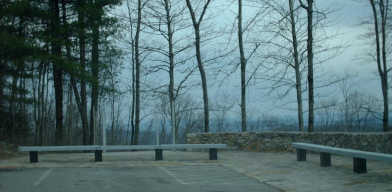
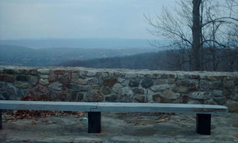
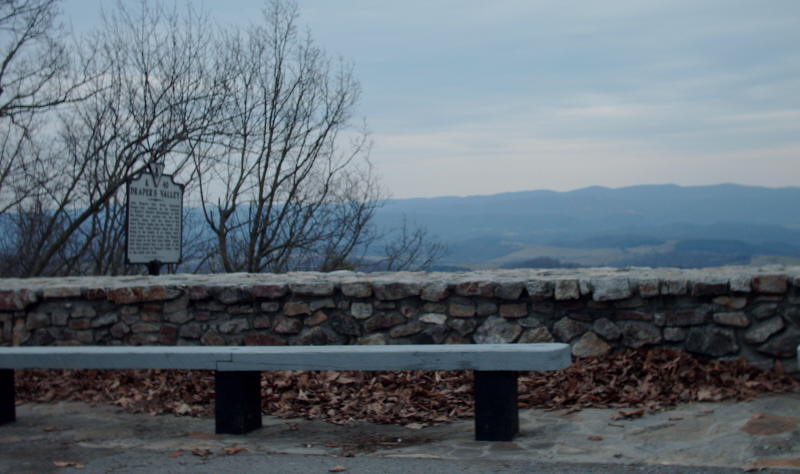
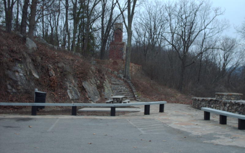
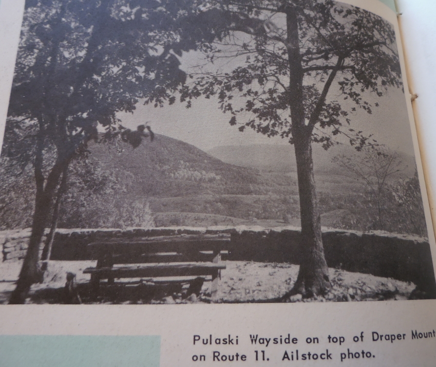
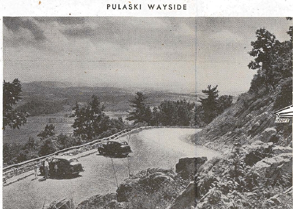
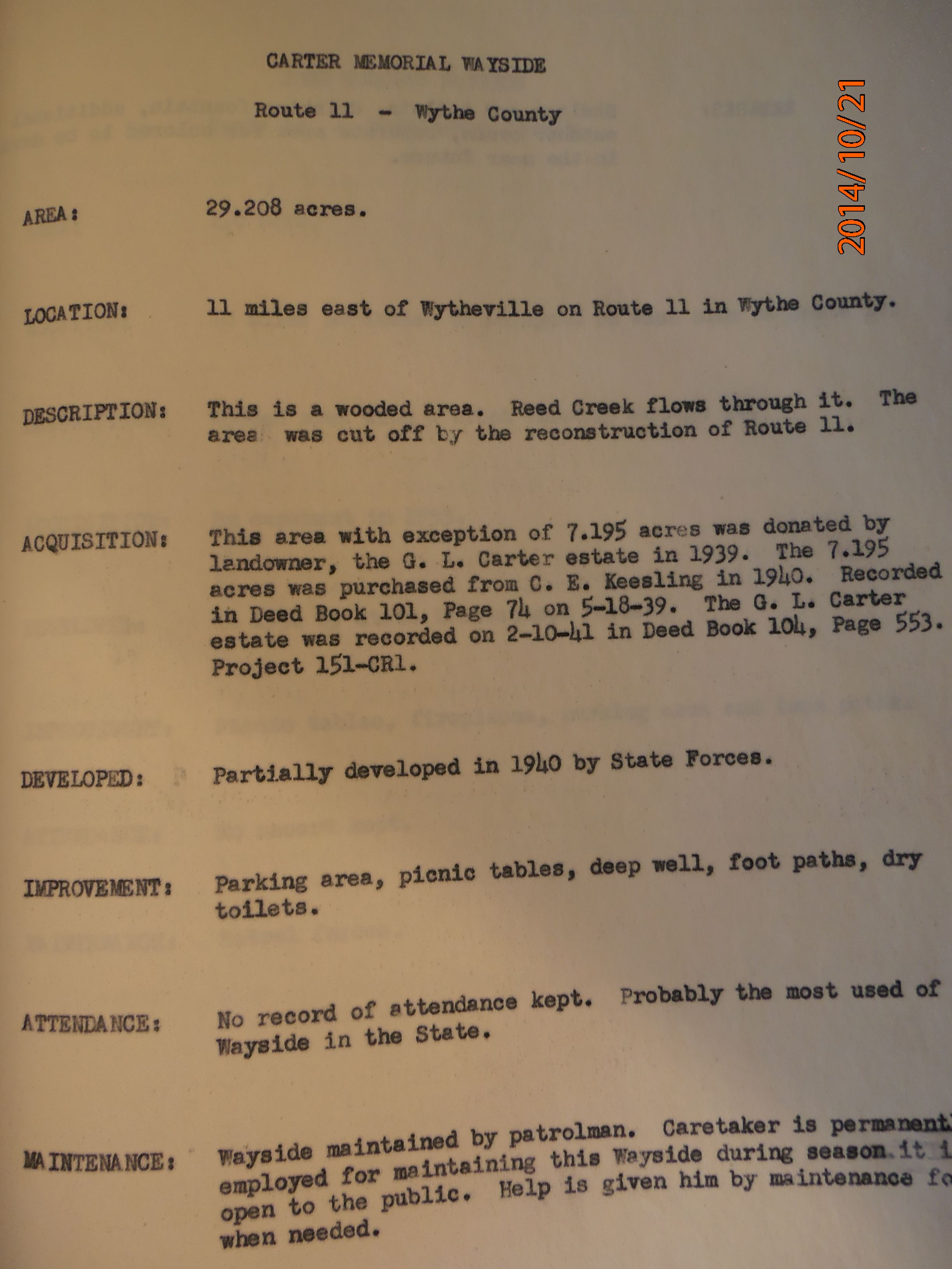
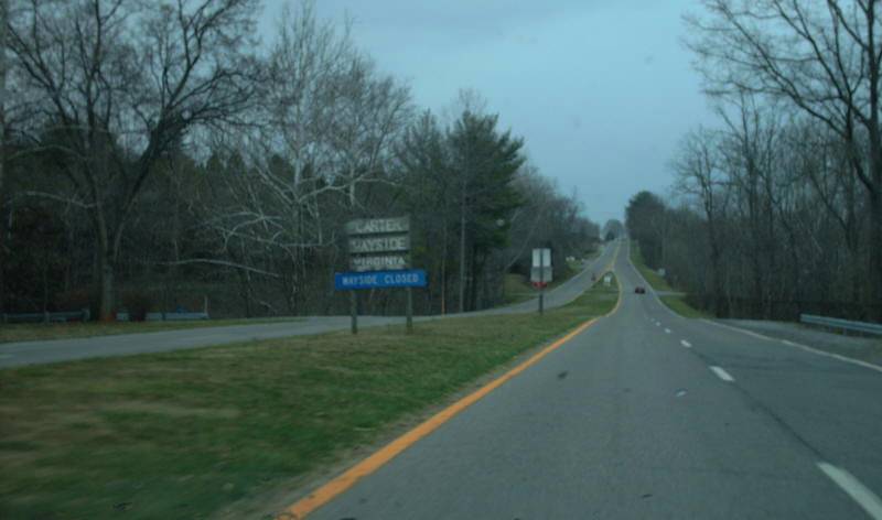
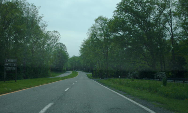
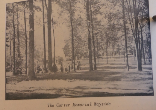
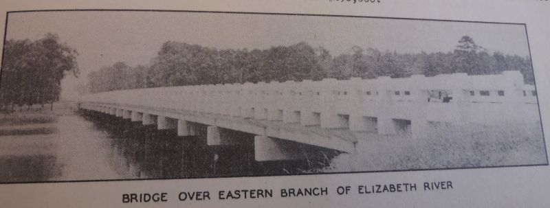
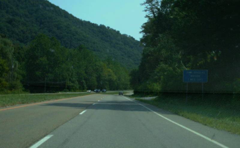
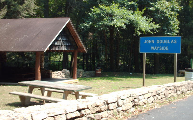
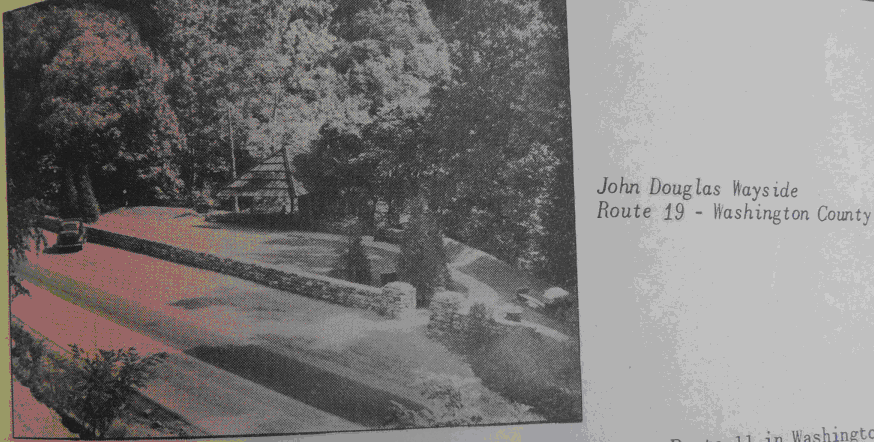
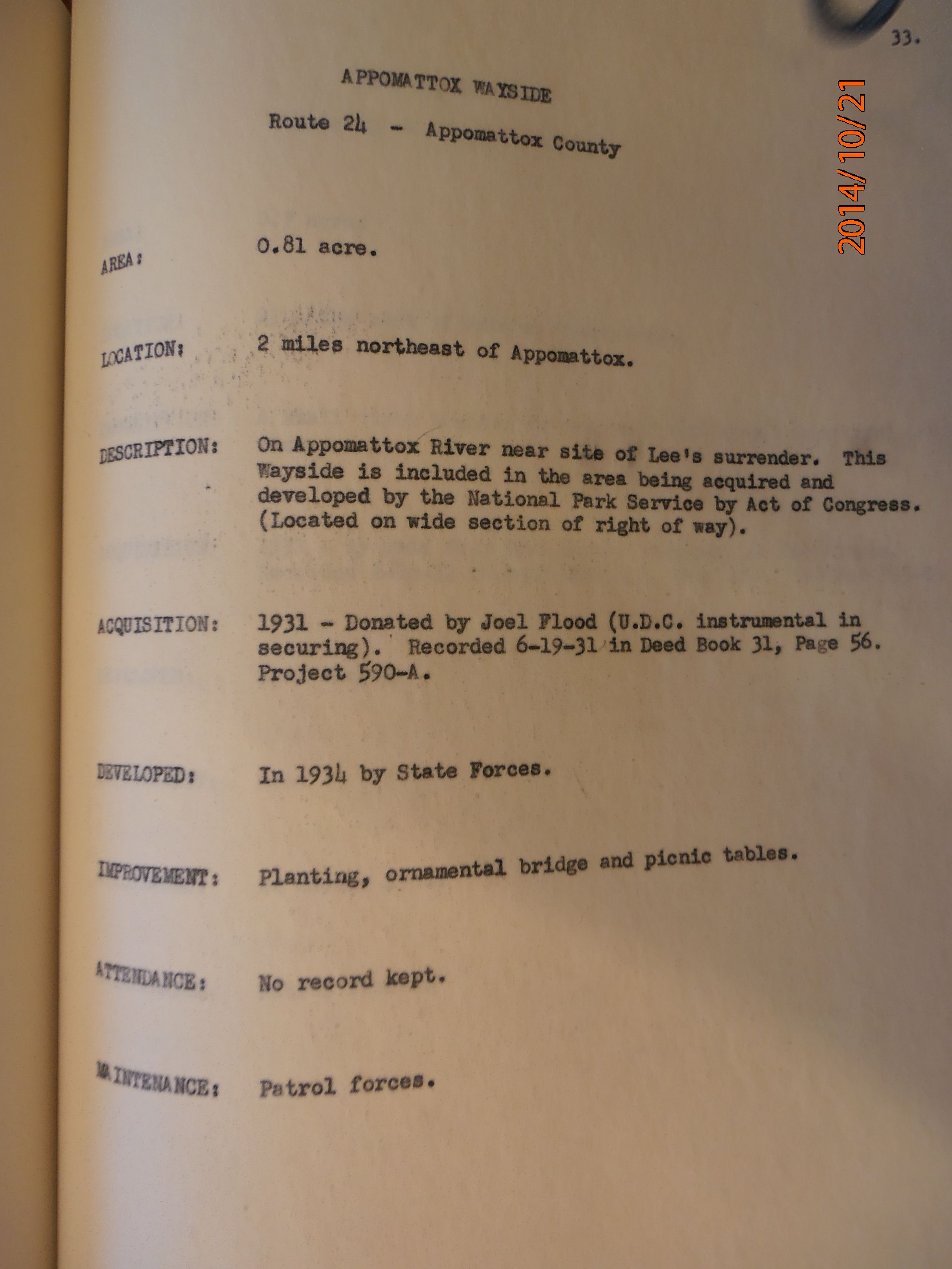
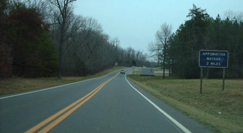
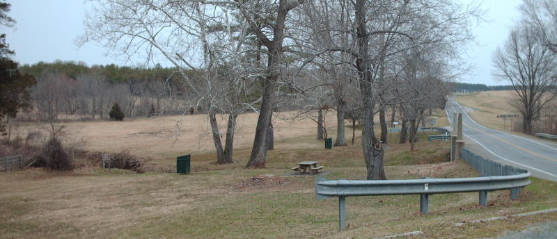
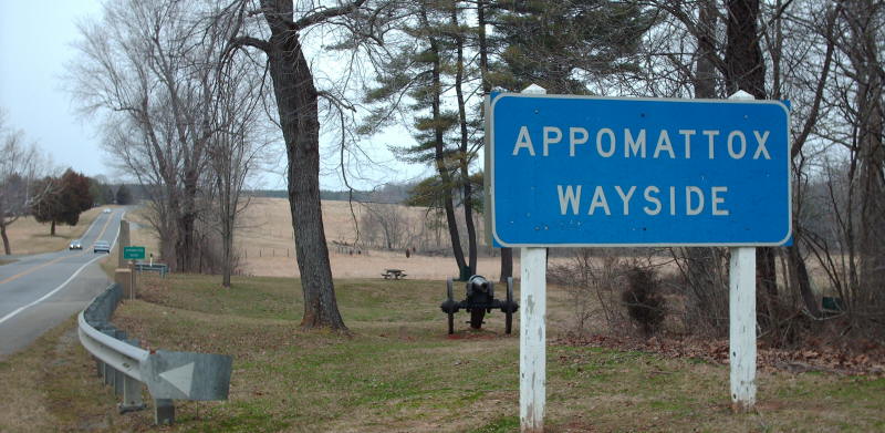
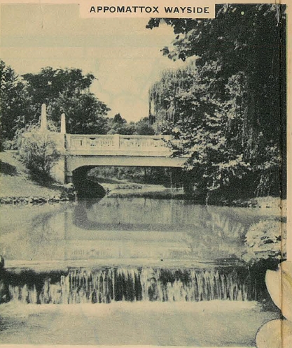
Historic images added: Stafford (US 1), Mary Washington (US 1), Hanover (VA 2), Temperance (VA 6), Carter (US 11), Draper (US 11), Elizabeth River (US 13), Douglas (US 19), Appomattox (VA 24),
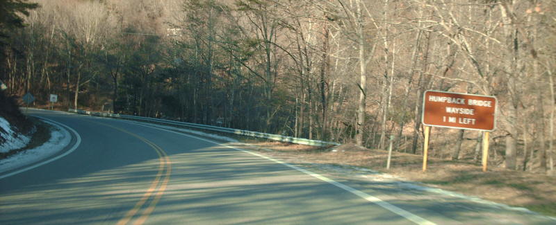
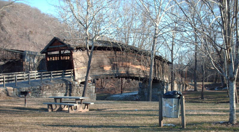
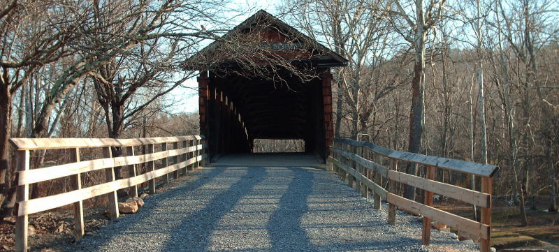
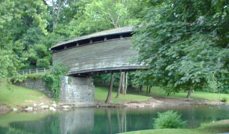
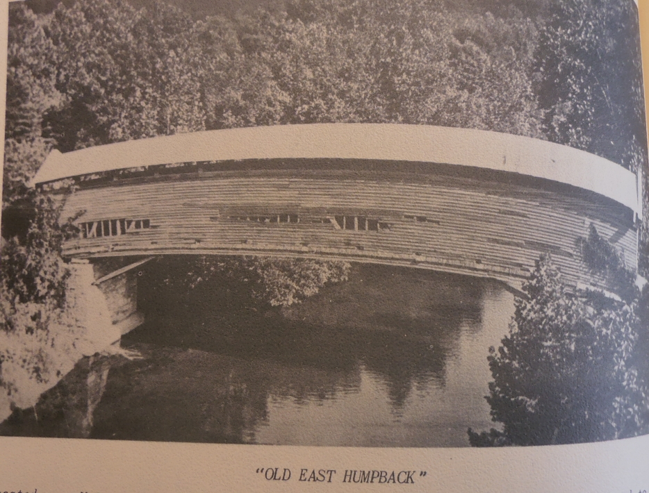
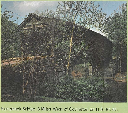
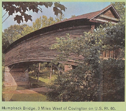
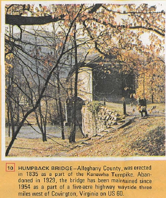
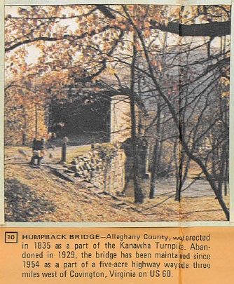
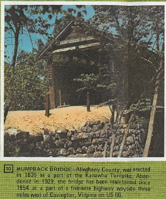
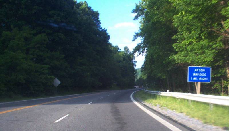
Humpback (US 60), Afton (US 250), Potoma (US 340)
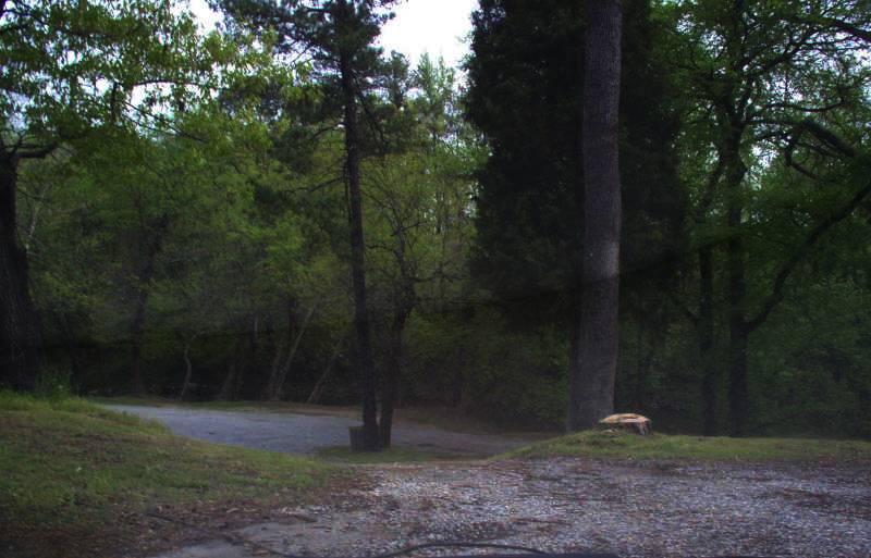
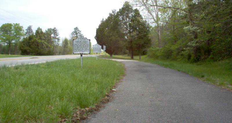
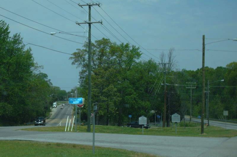
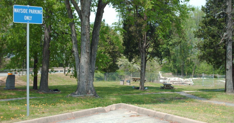
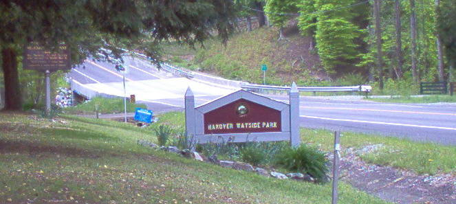
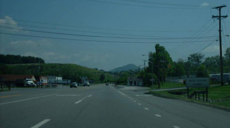
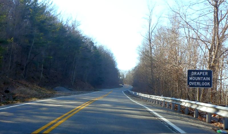
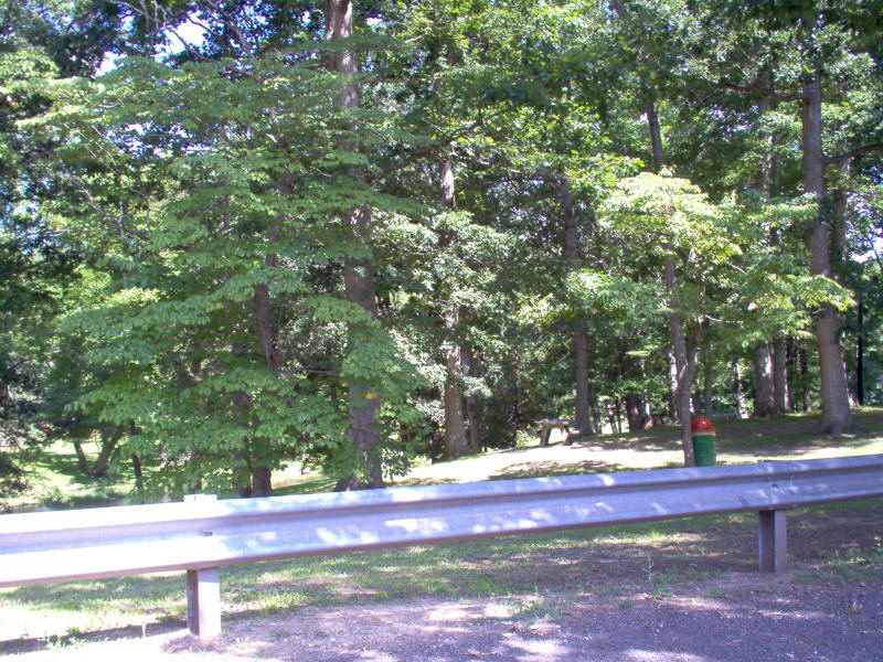
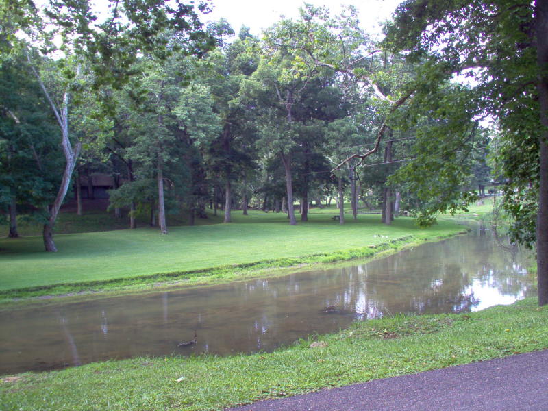
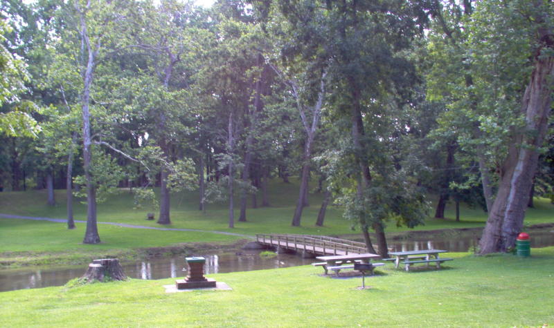
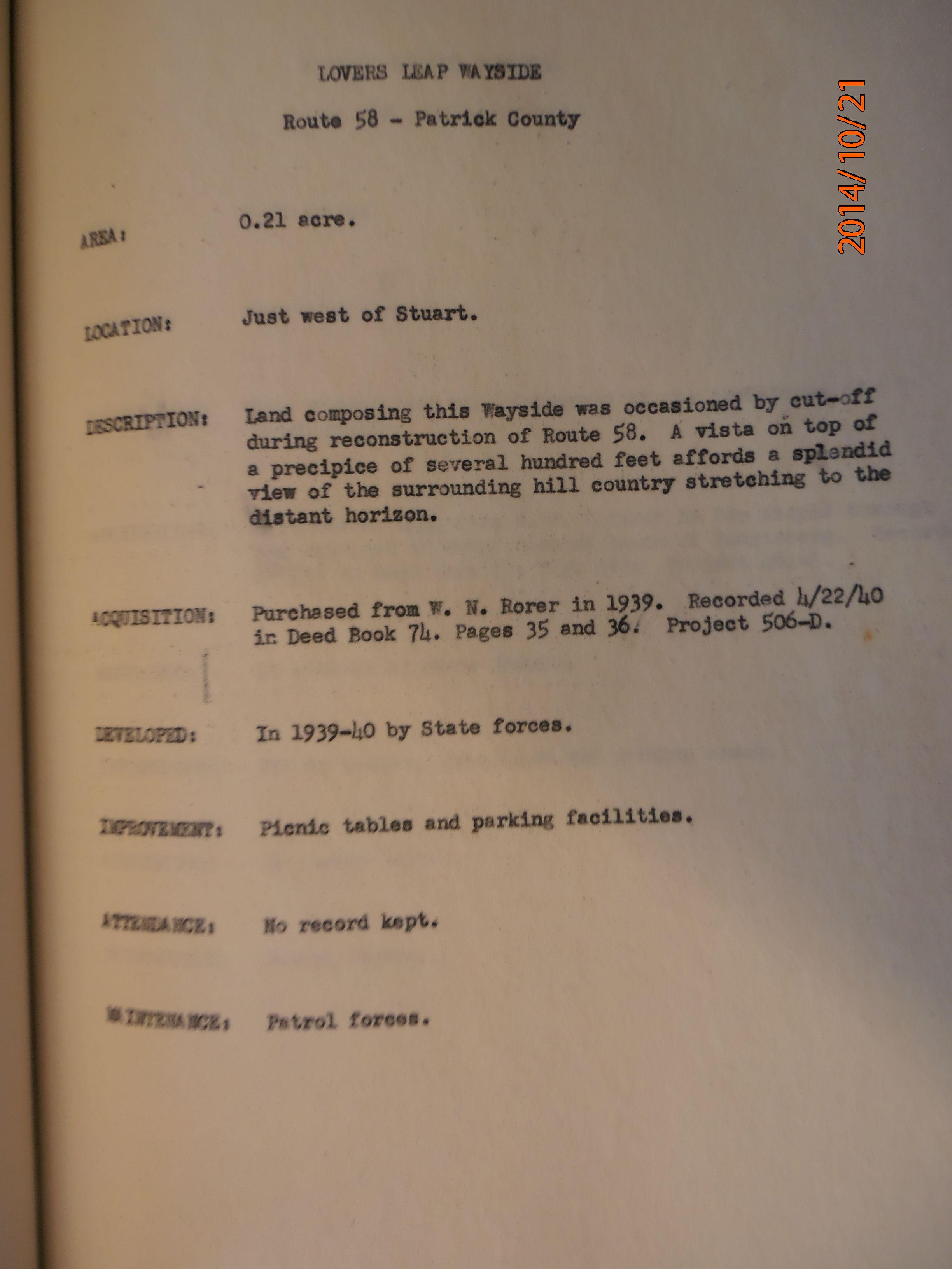
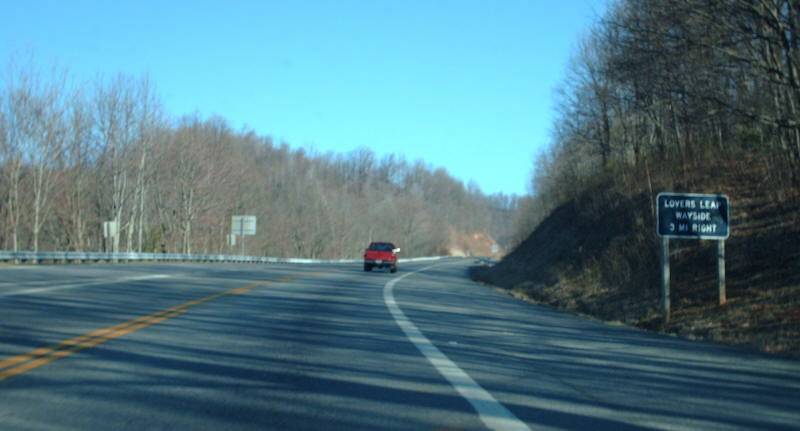
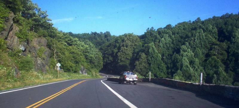
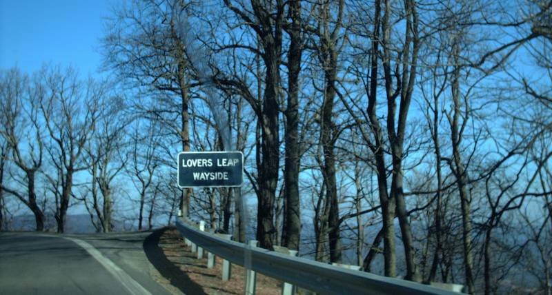
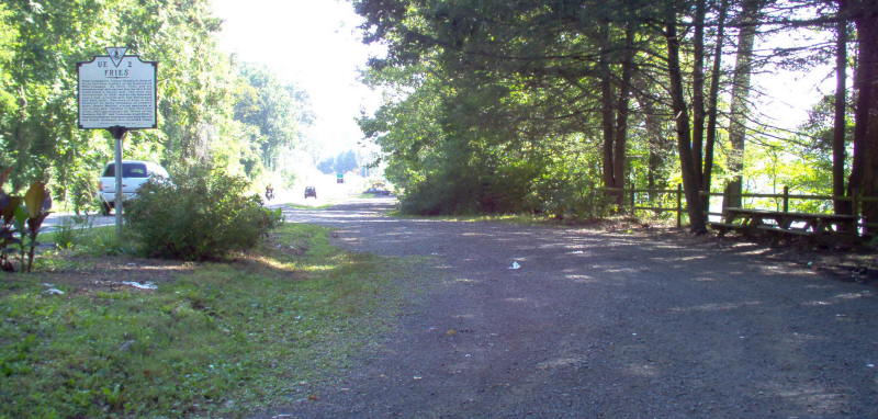
Contemporary images added: Mecklenburg (US 1), Draper (US 11), Bland (VA 42), Lovers Leap (US 58)