VA 361
to 380
< VA 360
| Home | VA 381
>
|
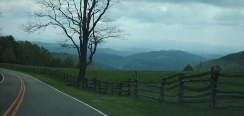
Photo: Looking southward along VA 362 in Grayson Highlands State Park (photo by Mapmikey) |
|
|
|
VA 361 now has its own superpage -- VA 361 |
|
VA 362 now has its own superpage -- VA 362 |
|
VA 363 now has its own superpage -- VA 363 |
|
VA 364 now has its own superpage -- VA 364 |
|
VA 365 now has its own superpage -- VA 365 |
|
VA 366 now has its own superpage -- VA 366 |
|
VA 367 now has its own superpage -- VA 367 |
|
VA 368 now has its own superpage -- VA 368 |
|
VA 369 now has its own superpage -- VA 369 |
|
VA 370 now has its own superpage -- VA 370 |
|
VA 371 now has its own superpage -- VA 371 |
|
VA 372 now has its own superpage -- VA 372 |
|
VA 373 now has its own superpage -- VA 373 |
|
VA 374 now has its own superpage -- VA 374 |
|
VA 375 now has its own superpage -- VA 375 |
|
VA 376 now has its own superpage -- VA 376 |
|
VA 377 now has its own superpage -- VA 377 |
|
VA 378 now has its own superpage -- VA 378 |
|
VA 379 now has its own superpage -- VA 379 |
|
VA 380 now has its own superpage -- VA 380 |