VA 307-Y
< VA 306 | Home | VA 307 | VA 308 >
VA 307Y
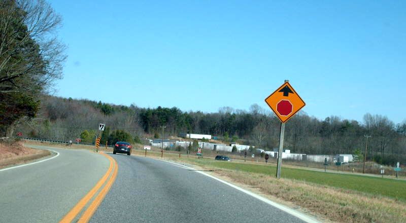
Photo: VA 307 approaching US 360. Everything between the car ahead and the stop sign was VA 307-Y (photo by Mapmikey March 2007)
VA 307-Y  not currently assigned


Previous VA 307-Y's:
VA 307Y: Created in 1940 when VA 307's east end was moved south to its current US 360 jct. A wye leg from 307 south to US 360 near the RR crossing was created.
In 1967, VA 307-Y became mainline VA 307 after US 360 was widened to 4-lanes, as the VA 307 leg met US 360 at a very steep angle (it is the current ramp from US 360 eastbound to VA 307) and could not access both directions of US 360.
The triangle setup stopped showing up on county maps by 1942.
VA 307 (1940 Amelia County)
VA 307-Y shown but not labeled
1940 Amelia County

Previous: VA 306  |  Next: VA 307 | VA 308
Top  |  Virginia Hwy Index Home

Page last modified 24 January 2020