VA 275Y
< VA 274 | Home | VA 275 | VA 276 >
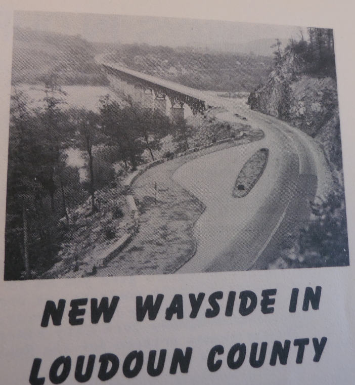
VA 275Y
Photo: This was the view of VA 275Y north at the Maryland line (1950 Virginia Highway Bulletin)
VA 275Y  not currently assigned


Previous VA 275Y's:

1941 ROUTE LOG
VA 275Y: 0 - 0
WV LINE: 0.37 - 0.37

VA 275Y: Created in August 1941 (CTB) running 0.37 miles from VA 275 northeast to the Sandy Hook Bridge (now US 340) to Maryland in northern Loudoun County. About 1950, VA 275Y became part of mainline VA 275. Today it SR 671 north of SR 825. VA 275Y appeared explicitly on only the 1948 and 1949 Officials.

VA 275 #2
VA 275Y in 1949.
1949 Official
VA 275 #1
A closer look at VA 275/275Y relationship
1946 Loudoun County
1950 Official
VA 275 usurps VA 275Y
1950 Official


Previous: VA 274  |  Next: VA 275 | VA 276
Top  |  Virginia Hwy Index Home

Page last modified 1 January 2024