I-140
< 26 | Home | 40 | 240 | 440 | 540 | 640 | 840 | 44 >
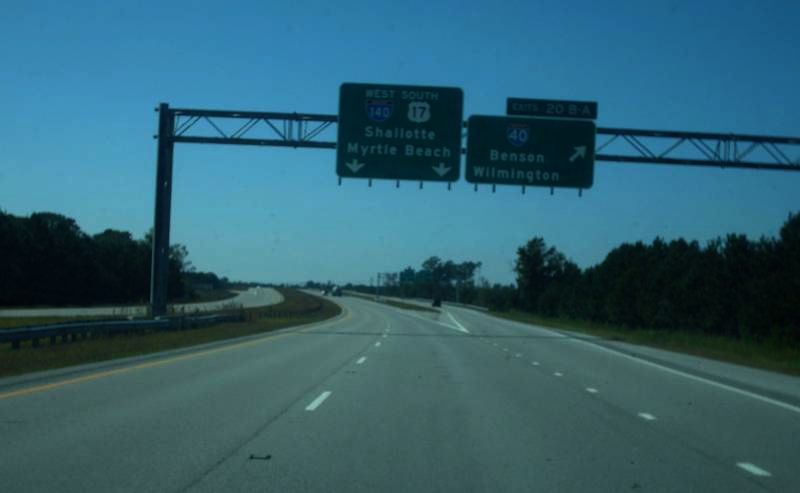
Photo: I-140's eastern end where US 17 becomes I-140 and US 17 (Mapmikey)
| I-140 20 miles | |||
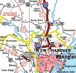
| The Road: | Begins at US 17 near Bishop (Brunswick County) and ends at I-40/US 17 north of Wilmington (New Hanover County). | Towns and Attractions: | Brunswick Co.: Leland New Hanover Co.: none |
History: |
The 1st I-140 was proposed by North Carolina in 1999 to run from I-40 in Raleigh southwest with US 1 to end at the US 421 Bypass of Sanford. This request was denied in April 1999 by AASHTO. |
Comments: | I-140 was originally going to be concurrent with US 17 over its entirety, but NCDOT has changed its mind and will allow US 17 to continue to go through Wilmington. |