More than any other state we have extensive experiences with, Virginia has for years been a shield error's haven. This is not a new phenomenon - I have seen 4 different error cutout shields over the years. Some errors are rectified pretty quickly and some have been promulgated through multiple generations of new signs over many years.
The links below will take you to the errors caught on camera for the various kinds of highways in Virginia, plus a bonus gallery of errors we've found outside of the Commonwealth
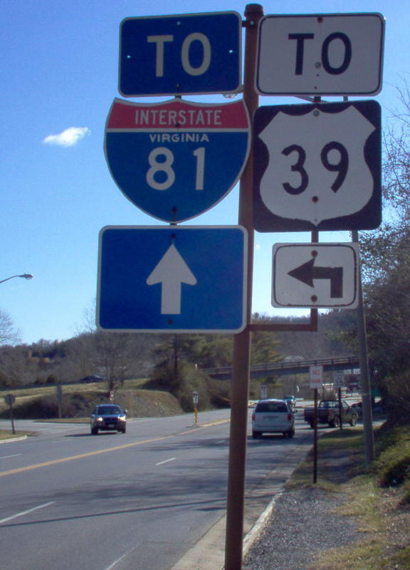
VA 39 is given an upgrade by the City of Lexington.
Photo by Mapmikey, taken 1/26/06