ROUTE LOG
I-64, I-77 (exit 85): 0 - 0
WV 61: 0.3 - 0.3
US 60: 0.3 - 0.6
|
|
Creation: WV 61N was designated no later than 1964 running between WV 61 and US 60 in Chelyan.
Adjustments: In 1997, WV 61N was totally rebuilt west of its original Kanawha River crossing to its current crossing and connection to I-64/77. The only surviving bit of original 61N is a little of Eskins Ave.
Improvements: Paved upon inception; became multilane upon its 1997 relocation.
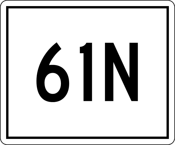
Comment: WV 61N is unposted.
One WVDOT map (shown below) calls it WV 61 SPUR but all other maps I've seen show it before and after that 1980 map call it 61N.
Official and commercial maps back to at least 1928 show a crossing in this area and imply it is a state route but I do not know if it ever had a normal route number assigned or not.
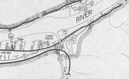
WV 61N's original location
1980 City of Chelyan
|
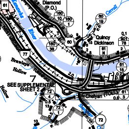
WV 61N relocated and connected to I-64/77
2014 Kanawha County
|
|