< WV 58 | Home | WV 60 >
| WV 59 not currently assigned | |||||||
| Previous WV 59's: 1927 ROUTE LOG WV 1: 0 - 0 WV 2: 13 - 13 1990 ROUTE LOG WV 259: 0 - 0 Virginia State Line: 7.7 - 7.7 |
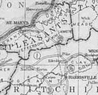
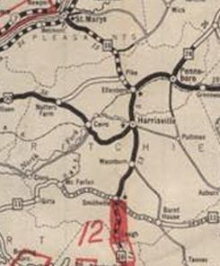
WV 59 #1: Appeared in 1922 as new primary highway, running from WV 2 Saint Marys southeast to WV 1 (now CR 50/34) Pike.
In 1926 (WVDOT Annual Report), WV 59 became WV 16.
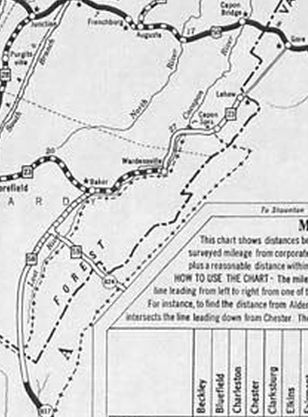
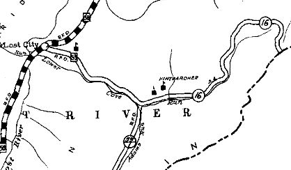
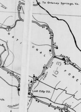
WV 59 #2: Appeared June 28, 1929 (WVDOT) as new primary highway, running from WV 58 (now WV 259) Lost City east towards the Virginia State Line. In 1936 (WVDOT Annual Reports), WV 59 was extended to the state line replacing CR 16. Sometime in the 1990s, WV 59 was downgraded to CR 59. However, county and state offical maps continue to show it as WV 59. Posting in the field is a county route and a WVDOT official I contacted also believes it is a county route. My speculation is that no one remembered to submit a request to drop it from the primary system. WVDOT finally submitted a Change Order to decommission WV 59 on March 16, 2018. The eastern half of WV 59 was never paved. Note that Virginia downgraded its side of the route to secondary status in 1949.
| ||||||
Previous: WV 58 |
Next: WV 60
Top | West Virginia Hwy Index
Home
Page last modified 7 April 2018