< 380 to 389 | Home | 400 to 409 >
| SC 390 not currently assigned | ||||||||||||
| Previous SC 390's: |
SC 390: Appeared in 1939 as new primary routing. Ran from SC 39 Williston northeast to SC 394 near Salley.
In 1940, SC 390 was extended south along SC 39, then as new routing to SC 64 Snelling. This made SC 390 26 miles long. In 1941 or 1942, SC 390 was rerouted north of Williston to meet SC 39 right in town instead of 1 mile northeast. The old alignment became SC 313 (current S-6-13 and S-2-22 SPUR). In 1948, SC 390 was downgraded to S-6-21, S-6-33, and S-2-22. |
|||||||||||
|
|
|
| ROUTE LOG |
SC 39: 0 - 0 Lexington-Aiken Line: 4.4 - 4.4 US 178 EB: 5.5 - 9.9 US 1: 0.4 - 10.3 US 178 WB, SC 23: 0.2 - 10.5 SC 245: 3 - 13.5 Saluda-Lexington Line: 1.5 - 15 US 378: 6.3 - 21.3 SC 194: 3.5 - 24.8 Newberry-Saluda Line: 0.6 - 25.4 US 76: 8.9 - 34.3
|
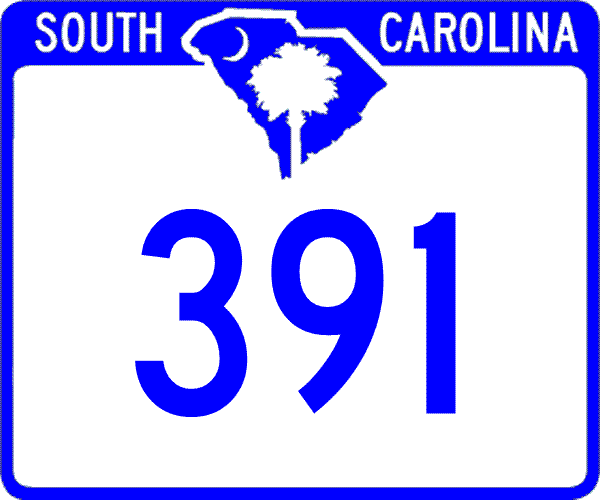
Creation: Created in 1923 as new primary routing. Ran as it does today through Batesburg, except its northern end may have ended a half mile short at today's S-36-11, which was probably SC 2's original routing.
| Adjustments: In 1939, SC 391 was extended south from SC 39 to end at SC 215 (current SC 4-302) Couchton. In 1940, SC 391 was rerouted at SC 39 to multiplex east 6 miles, then head southwest to Couchton. The old way between SC 39 and the S. Edisto River became a secondary route, and is today part of S-2-49 and S-2-264. SC 391 used the same crossing of the S. Edisto River in both alignments and in the newest alignment brought SC 391 to a length of 56 miles. In 1948, SC 391 was truncated to its original SC 39 to Prosperity routing, leaving behing SC 39 and S-2-21. Improvements: SC 391 was paved from SC 39 north to the Saluda River by 1932, and up to Prosperity by 1938. SC 391 has no multilane sections. Comment: SC 391 meets US 378 at one of the few traffic circles in South Carolina. This may be the most rural traffic circle in the eastern U.S. |
|||||
|
|
|
| ROUTE LOG |
US 1: 0 - 0 Saluda-Aiken Line: 1.3 - 1.3 SC 23, SC 39: 2.3 - 3.6
|
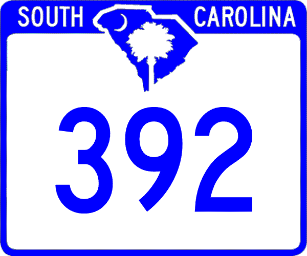
Creation: Appeared by 1928 as a new state route, running from SC 39 Ridge Spring north through Saluda and Chappells before ending at SC 10 (current US 221) Cold Point.
| Adjustments: In 1935, SC 392 was extended south to US 1, for a length of 52 miles. In 1936, SC 392 was truncated to its current routing. The long stretch from Ridge Spring to Cold Point became part of today's SC 39. Improvements: Fully paved from Saluda to Chappells by 1932; current SC 392 was paved back to at least 1938. No multilane segments. Comment: SC 392 was one of the longer 3-digit routes in South Carolina in the early 1930's. |
|||||
| SC 393 not currently assigned | ||||||||||||
| Previous SC 393's: |
SC 393: Appeared by 1928 as new primary routing. Ran from SC 39 Perry east to SC 3 at the North Edisto River, 8 miles away.
In 1948, SC 393 was downgraded to S-2-14 and S-38-259. |
|||||||||||
|
|
|
| ROUTE LOG |
SC 4: 0 - 0 SC 113: 7.2 - 7.2 SC 39: 2.5 - 9.7 Orangeburg-Aiken Line: 1 - 10.7 SC 389: 0.5 - 11.2 SC 3: 1.1 - 12.3 US 178: 7.1 - 19.4
|
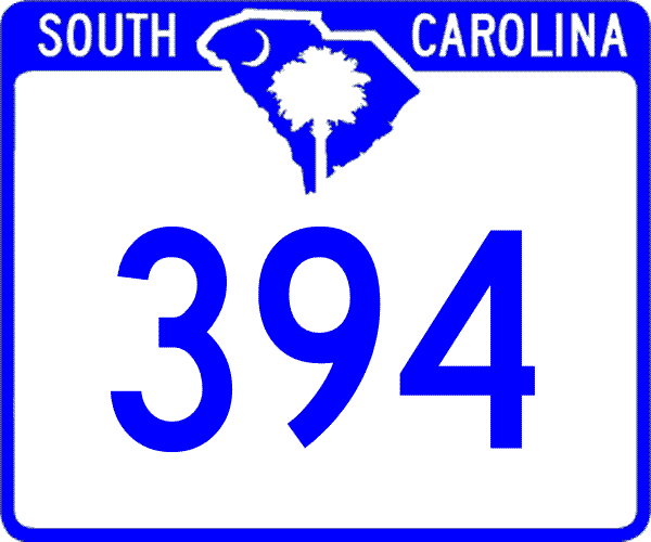
Creation: Appeared by 1932 as a newly numbered route. Originally ran only from SC 4 to SC 39 Salley.
| Adjustments: In 1938, SC 394 was extended east as new routing to SC 3. In 1940, SC 394 was extended east as new routing to US 178 North. Improvements: Fully paved between SC 4 and Salley in 1940; the remainder was paved by 1953; no multilane segments Comment: SC 394 serves Salley, which serves up the world Chitterling Festival every year. |
|||||
|
|
|
| ROUTE LOG |
SC 194: 0 - 0 Newberry-Saluda Line: 3.4 - 3.4 SC 34: 9.3 - 12.7 SC 34 Bus: 0.9 - 13.6 SC 121: 1.6 - 15.2
|
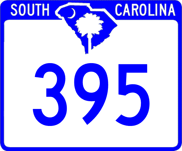
Creation: Appeared in 1951 or 1952 as a resurrected state route, running as it does today.
| Adjustments:SC 395 first appeared in 1939, running as new routing from SC 391 near the Saluda River, northwest 9 miles to where SC 395 and S-36-42 split. In 1940, SC 395 was extended northwest to Newberry. In 1948, SC 395 was downgraded to S-36-17 and S-36-42. When SC 395 was resurrected by 1952, it assumed its more vertical alignment. Below the Saluda River had been SC 372 before 1948. SC 395 was extended out to SC 121's bypass of Newberry between 1954-58. Improvements: Fully paved near Newberry in 1940; the remainder was paved by 1952; no multilane segments Comment: SC 395 serves as a backdoor route from Saluda to Newberry. |
|||||
| SC 396 not currently assigned | |||
| Previous SC 396's: |
SC 396: Appeared in 1940 as new primary routing. Ran as a cutoff between SC 39 and SC 7 (current SC 72) Mountville
In 1941 or 1942, SC 396 was extended east 4 miles to today's S-30-38. In 1948, the 6 miles of SC 396 were downgraded to S-30-30. |
||
| SC 397 not currently assigned | |||
| Previous SC 397's: |
SC 397: Appeared in 1940 as new routing. Ran from SC 231 (current S-19-17) in Edgefield County northeast to SC 392 Ridge Spring.
In 1941 or 1942, SC 397 was extended northeast with brief multiplexes with SC 392 and SC 23 and then new routing to end at today's S-41-75. In 1948, the 8 miles of SC 397 were downgraded to S-19-20, S-41-22, and S-41-35. |
||
| SC 398 not currently assigned | |||
| Previous SC 398's: |
SC 398: Appeared in 1941 or 1942 as new routing. Ran from SC 39 to US 178 Jones Crossroads in Saluda County, 4 miles away.
In 1948, SC 398 was downgraded to S-41-29. |
||
| SC 399 not currently assigned | |||
| Previous SC 399's: |
SC 399: Appeared in 1940 as new routing. Ran from US 178 near Saluda southeast to SC 234 (current S-41-25) Blacks, 7 miles away.
In 1948, SC 398 was downgraded to S-41-27. |
||
Last Update: 8 February 2005
Previous: SC 380 - 389 |
Next: SC 400 - 409
Top | South Carolina Hwy Index
Home