 SC 270 to 279
< 260 to 269 | Home | 280 to 289 >
| SC 270 not currently assigned | |||||||||||||||
| Previous SC 270's: |
SC 270: Appeared in 1941 or 1942 as new routing. Ran from US 1 Blaney (now Elgin) north to SC 213 (current SC 34) at the Kershaw-Fairfield Line.
The 9 miles of SC 270 were downgraded to S-28-21 in 1948. |
||||||||||||||
| SC 271 not currently assigned | |||||||||||||||
| Previous SC 271's: |
SC 271 #1: The 1927 Clasons Map shows SC 271 running from US 78/SC 27 Windsor east to SC 1-4 (current SC 3 Bus-SC 4) Springfield. However, the 1926 Auto Trails Map and 1928 Esso Map both show this as part of SC 4. No one road does this movement today - it takes SC 4, parts of two unnumbered dirt roads, S-2-22, and S-2-212.
SC 271 #2: Appeared in 1941 or 1942 as new primary routing. Ran from US 76 northwest of Westminster northeast through Walhalla (brief SC 28 multiplex), joining SC 183 for 3 miles, then veering north to end at SC 288 (current SC 130 jct with S-37-44) Salem. This made SC 271 22 miles long. In 1948, SC 271 was reduced to running from SC 183 northeast of Walhalla to SC 288 Salem, only 10 miles. The old 271 remained SC 183 down to Walhalla, and S-37-36 south of there. Between 1968-70, SC 271 was extended south from SC 183 to meet SC 11 TEMP (current S-37-24). Then, all of SC 271 became SC 271 TEMP. Today, it is all SC 11 except in Tamassee and Salem, where SC 271 is today's S-37-32 and S-37-145 with a tiny bit of SC 130 thrown in for good measure. SC 271 TEMP: Appeared around 1970 as a renumbering of SC 271 from Salem to near West Union. By 1972 this was all part of today's SC 11 except in Tamassee and Salem (see SC 271 entry for exceptions). |
||||||||||||||
| SC 272 not currently assigned | |||||||||||||||
| Previous SC 272's: |
SC 272: Appeared in 1941 or 1942 as new routing. Ran from SC 185 west of Due West northeast to SC 256 (current SC 184) Donalds.
The 5 miles of SC 272 were downgraded to S-1-37 in 1948. |
||||||||||||||
| SC 273 not currently assigned | |||||||||||||||
| Previous SC 273's: |
SC 273: Appeared in 1941 or 1942 as new primary routing. Ran from SC 96 (current S-29-28) Tradesville northeast across the Lynches River to SC 207 at the North Carolina State Line.
In 1948, the 4 miles of SC 273 were downgraded to S-29-39 and S-13-35. |
||||||||||||||
|
|
|
| ROUTE LOG |
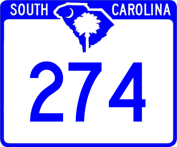
US 21 Bus, SC 322: 0 - 0 SC 161 SB: 3.2 - 3.2 SC 901: 1 - 4.2 SC 161 NB: 1.4 - 5.6 SC 49 SB, SC 55: 7.3 - 12.9 SC 49 NB, SC 557: 2.1 - 15 NC STATE LINE: 2.7 - 17.7
|
Creation: Arrived in 1937 as a renumbering of the original SC 59 to match NC 274. Originally only ran from the state line down to SC 49.
| Adjustments: In 1939, SC 274 was extended south to SC 5 (current SC 161) Newport, as a multiplex with SC 49 and new routing. Between 1959-61, SC 274 was extended southeast to Rock Hill, replacing SC 5's original routing through here. Improvements: SC 274 was fully paved by 1942; no multilane sections are shown on the 2004 Official map, but Adam Prince relates that within Rock Hill proper SC 274 is 4-lane undivided. Additionally plans exist to widen SC 274 north to SC 49/557. Comment: SC 274 provides a useful route from Rock Hill to Gastonia, NC. |
||||||||
| SC 275 not currently assigned | |||||||||||||||
| Previous SC 275's: |
SC 275: Appeared in 1941 or 1942 as new routing. Ran from SC 905 Red Bluff Crossroads north to SC 9 Loris.
The 11 miles of SC 275 were downgraded to S-26-31 in 1948. |
||||||||||||||
| US 276 |
|
|
|
| ROUTE LOG |
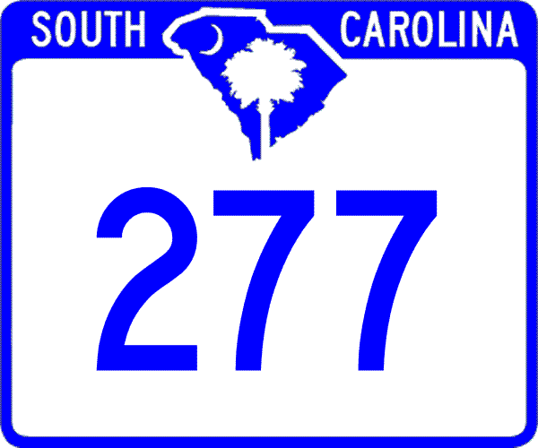
US 76: 0 - 0 SC 16: 0.9 - 0.9 SC 555: 0.8 - 1.7 I-20 (exit 73): 4.2 - 5.9 I-77 (exit 18): 1.6 - 7.5
|
Creation: Created between 1975-77 as new expressway, running from US 76 to I-20. This is the 2nd SC 277.
| Adjustments: In 1978 or 1979, SC 277 was extended north to meet I-77. Improvements: SC 277 was fully paved and multilane upon designation. Comment: SC 277 was once contemplated to connect up directly with I-126. SC 277 also has two other exits - Fontane Rd and Parklane Rd. | Previous SC 277's: |
SC 277 #1: Appeared in 1941 or 1942 as new primary routing. Ran as a 4 mile connector between SC 215 and SC 218 (current US 321) in northern Richland County.
In 1948, SC 277 was downgraded to S-40-38. |
||||||
| US 278 |
| SC 278 not currently assigned | |||
| Previous SC 278's: |
SC 278: Appeared in 1941 or 1942 as new primary routing. Ran as a 4 mile spur west off SC 19 (current SC 121) in northern Saluda County.
In 1948, SC 278 was downgraded to S-41-44, the western half of which is still unpaved. |
||
| SC 279 not currently assigned | |||
| Previous SC 279's: |
SC 279: Appeared in 1941 or 1942 as new routing. Ran from SC 154 near St. Charles northwest to Mannville, and continued northwest after a brief US 15 multiplex to end at SC 34 near the Kershaw-Lee Line.
In 1948, the 14 miles of SC 279 were downgraded to S-31-28 and S-31-31 (has exit 108 with I-20). |
||
Last Update: 10 January 2006
Previous: SC 260 - 269 |
Next: SC 280 - 289
Top | South Carolina Hwy Index
Home

