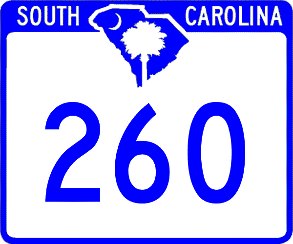
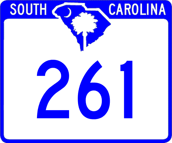
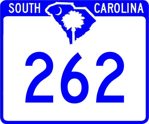
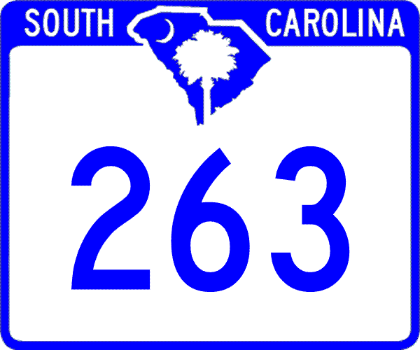
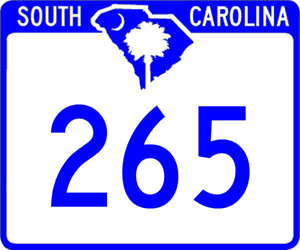
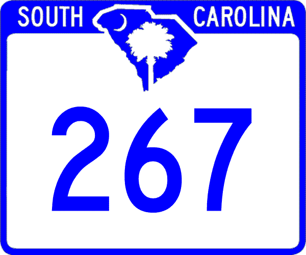
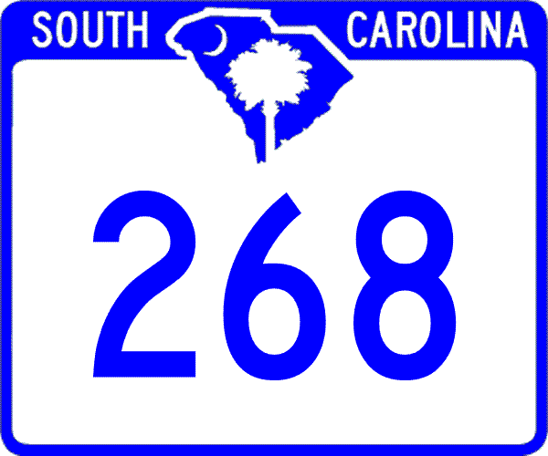
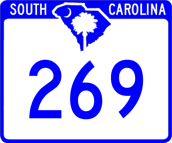
 SC 260 to 269
< 250 to 259 | Home | 270 to 279 >
|
|
|
| ROUTE LOG |
SC 261: 0 - 0 US 301: 0.3 - 0.3 END SC 260: 12.9 - 13.2
|
Creation: Created as new primary routing in 1939. Ran 12 miles from SC 261 Manning south to today's S-14-410.
| Adjustments: In 1940, SC 260 was extended northwest 15 miles to US 15-15A south of Sumter. Also, a discontinuous piece of SC 260 appeared between SC 311 near Cross north to SC 45 near Eadytown in Berkeley County. SC 260's total length was 37 miles. In 1942, SC 260 in Berkeley County was reduced to running as a spur from SC 45 to Eadytown at the south end of Santee Dam. The old section down to Cross became SC 45 (some of which is now S-8-132) and part of SC 6 (all rerouted due to Lake Moultrie's formation). In 1948, SC 260 was truncated to its current routing. The Berkeley County piece to Eadytown became S-8-31. Northwest of Manning became S-14-23 and S-43-25. Improvements: SC 260's current routing was fully paved in 1941 or 1942; no multilane sections shown on 2004 Official Map. Comment: SC 260 provides direct access to the Santee Dam. Rand McNally atlases for years have shown a road exists between Clarendon and Berkeley Counties just east of SC 260. As far as I can tell this has never been the actual case, even before Lake Moultrie came along. |
|||||
|
|
|
| ROUTE LOG |
US 521: 0 - 0 Sumter-Kershaw Line: 6.3 - 6.3 US 76, US 378: 11.8 - 18.1 SC 763: 3.9 - 22 SC 120: 12.5 - 34.5 Clarendon-Sumter Line: 3.9 - 38.4 US 15: 2.4 - 40.8 I-95 (exit 119): 7.1 - 47.9 SC 260: 2 - 49.9 US 301: 0.1 - 50 US 521 NB: 0.1 - 50.1 US 521 SB: 3 - 53.1 Williamsburg-Clarendon Line: 9.6 - 62.7 US 52 EB: 8.7 - 71.4 US 52 WB, SC 527: 2.4 - 73.8 SC 377: 0.7 - 74.5 SC 512 WB: 14.5 - 89 SC 512 EB: 2.3 - 91.3 SC 41, SC 51: 6.9 - 98.2 Georgetown-Williamsburg Line: 5 - 103.2 SC 513: 5.2 - 108.4 US 701: 9 - 117.4
|
Creation: Created as new primary routing in 1925 or 1926. Originally ran from SC 26 (current US 521-SC 261 split) Wilson southeast to Greeleyville, then ending at SC 41 (current US 52). It appears on the 1925 Auto Trails Map that from the other diection (Gourdin) that SC 44 ended here as well.
| Adjustments: By 1928, SC 261 was extended east to Gourdin, then north to Lane and ending back at SC 26 (today's SC 377 jct with US 521). This replaced some of SC 44. About 1936 SC 261 was extended west through Manning to end at US 15 Paxville. In 1937 or 1938, SC 261 was extended west again to Pinewood (SC 120 did not exist yet) and a second piece of SC 261 appeared between US 76 Stateburg and Poinsett State Park. In 1939, the second piece of SC 261 was extended north to US 521 (current S-28-2) near Boykin. In 1940, SC 261's two pieces were connected between Pinewood and Poinsett State Park. In 1948, SC 261 was truncated to from US 76 north to US 521. The stub to Stateburg was made part of SC 441, while the rest became secondary routing. In 1949, SC 261 was rerouted east of Manning. At Wilson SC 261 ran east to US 52 west of Kingstree, replacing part of US 521. The old route to Greeleyville became part of the new US 521, and Greeleyville-Gourdin became SC 375 and Gordon to US 521 became part of SC 377. In 1950, SC 261 was re-extended above US 76 back to US 521 (current S-28-2) near Boykins. This shaved off a couple miles of SC 441. In 1951 or 1952, SC 261 was extended east through Kingstree to end at SC 41-51 Hemingway. Kingstree to Hemingway had been part of SC 175. Between 1959-61, SC 261 was extended east to its current end in Yauhannah. Hemingway to today's SC 513 had been part of SC 51 and from there to Yauhannah had been part of SC 513. Between 1962-64, SC 261 west was extended from Boykins up to its current ending, replacing a part of rerouted US 521. Improvements: SC 261's first pavement arrived in 1933, from US 521 Wilson to US 52 The next section of pavement arrived with the Paxville extension in 1936. By 1938, SC 261 was paved from Lane north to US 521. In 1939, SC 261 was paved from Paxville to the Sumter County Line In 1940, SC 261 was paved between US 52 and Lane. In 1941 or 1942, SC 261's pavement was extended west to Pinewood. By 1948, SC 261 was paved everywhere except from PInewood to Poinsett State Park. SC 261 has been fully paved in all its routings since 1949. SC 261 has only 2 multilane sections: I-95 east to Manning (not shown on official maps but was done before the mid-90's); US 52 multiplex - east of the Black River by 1975 and west of the Black River about 2000. Comment: SC 261 is one of the longer 3-digit routes in South Carolina. SC 261 serves Poinsett State Park. |
|||||
|
|
|
| ROUTE LOG |
US 76, US 378: 0 - 0 I-77 (exit 9): 0.1 - 0.1 US 601: 14.8 - 14.9
|
Creation: Resurrected as a state route in 1949, running the way it does now.
| Adjustments: SC 262 first appeared in 1937 or 1938, as a 7-mile stub east off US 76 Columbia. In 1940, SC 262 was extended east to US 601. In 1948, SC 262 was downgraded to secondary status. In 1949, SC 262 was restored to its full routing. Improvements: SC 262 was paved on its 7-mile stub at creation. The remaining part was paved in 1941 or 1942. SC 262 is multilane for its westernmost 3 miles, back to at least 1977. Comment: SC 262 serves as the southern boundary for Fort Jackson for nearly its entire length. |
|||||
|
|
|
| ROUTE LOG |
SC 764: 0 - 0 US 601: 2.2 - 2.2 SC 903: 3 - 5.2
|
Creation: Created in 1937 or 1938 as a renumbering of SC 26, which was rerouted onto today's US 601. Ran like it does today.
| Adjustments: None Improvements: SC 263's southern half was paved by 1938 and the rest was paved in 1939; no multilane segments Comment: SC 263 serves US 76-378 WB traffic trying to reach Eastover. SC 263 was once part of the original SC 52. |
|||||
| SC 264 not currently assigned | ||||||||||||
| Previous SC 264's: |
SC 264 #1: Existed in 1939 only. Ran from SC 26 (current US 601) east to end at Lone Star.
In 1940 this was renumbered as part of SC 47. Today it is S-9-11. SC 264 #2: Appeared in 1940 as new routing. Ran from US 321 Bowling Green east 5 miles to SC 557 in northern York County. In 1948, SC 264 was downgraded to S-46-27. |
|||||||||||
|
|
|
| ROUTE LOG |
US 601: 0 - 0 SC 903: 2.1 - 2.1 Chesterfield-Lancaster Line: 4.9 - 7 SC 151: 2.4 - 9.4 SC 268: 7.8 - 17.2 SC 109: 5.5 - 22.7 SC 9: 2.1 - 24.8
|
Creation: Created in 1928 as new primary routing, running as it does today, plus extending southwest to SC 26 (current US 521 Business) Kershaw.
| Adjustments: In 1940, SC 265 was extended southwest to end at SC 97 Liberty Hill. SC 265 reached 44 miles long with this extension. In 1948, SC 265 was reduced back to its 1927-40 routing. The extension over to Liberty Hill was downgraded to S-28-13 and S-29-13 (a rare case of secondary route numbers being unchanged across county lines). Today, the last 1/2 mile into Liberty Hill is now part of SC 522. In 1951 or 1952, SC 265 was shortened to today's routing, replaced by the re-introduced US 601 down to Kershaw. Improvements: Kershaw to SC 903 was paved in 1935. This pavement was extended east to Jefferson in 1937 or 1938. Everything west of SC 109 was paved in 1948, and the last tiny piece was paved in 1949. No multilane sections Comment: SC 265 is one of the longer routes in S.C. that I have not driven. Can be used as an alternate to SC 9 from Chesterfield to Lancaster (via SC 903). |
|||||
| SC 266 not currently assigned | ||||||||||||
| Previous SC 266's: |
SC 266: Appeared in 1939 as new routing. Ran from SC 260 east 3 miles to Bloomville.
Between 1941-1942, SC 266 was extended south from Bloomville 4 miles to nowhere in particular. In 1948, SC 266 was downgraded to part of S-14-25, and part of S-14-48. The dirt road connecting the two pieces of S-14-63 (between SC 260 and S-14-25) was also part of SC 266. |
|||||||||||
|
|
|
| ROUTE LOG |
US 15: 0 - 0 US 301: 1.5 - 1.5 SC 6 EB: 3.8 - 5.3 SC 47: 1.9 - 7.2 SC 6 WB: 1.2 - 8.4 Calhoun-Orangeburg Line: 1.3 - 9.7 SC 33: 5.7 - 15.4 SC 419: 3 - 18.4 US 601: 4.3 - 22.7
|
Creation: Created in 1940 as new primary routing, running as a 5 mile loop off SC 26 (current S-9-151) through Ft. Motte.
| Adjustments: In 1948, SC 267 was extended southeast to SC 33 Lone Star. In 1950, SC 267 was rerouted to end in Fort Motte, leaving behind the north loop around to SC 26 which is partly S-9-13 today. In 1951 or 1952, SC 267 was rerouted to run as it does today, leaving behind today's SC 419. Lone Star to Elloree had been part of SC 47 and below Elloree was new primary routing. Improvements: SC 267 was paved in 1948 except east of Ft. Motte; All of SC 267 was paved from 1950 forward. No multilane sections Comment: SC 267 provides a back way to get from I-95 to US 601 heading for Camden. Elloree can be bypassed by continuing straight at the SC 267 NB-SC 6 jct. |
|||||
|
|
|
| ROUTE LOG |
SC 265: 0 - 0 SC 9, SC 109: 5.6 - 5.6
|
Creation: Resurrected as a state route in 1950, running as it does today.
| Adjustments: SC 268 was first created in 1940, running the way it does now. In 1948, SC 268 was downgraded to secondary status, possibly to S-13-24. In 1950, SC 268 was restored to primary status. Improvements: SC 268 was paved in 1950. No multilane sections Comment: SC 268 is a simple cutoff between SC 265 and SC 9 or SC 109. |
|||||
|
|
|
| ROUTE LOG |
SC 215: 0 - 0 Fairfield-Richland Line: 2.3 - 2.3 US 321: 10 - 12.3
|
Creation: Resurrected in 1950, running the way it does now.
| Adjustments: SC 269 first appeared in 1941 or 1942 as an upgrade to a paved secondary road. Ran from the Richland-Fairfield line north to Rockton, then north to end at SC 224 (current S-20-21) Winnsboro. This made SC 269 15 miles long. It is unclear whether SC 269 was extended south to SC 215 before 1948. In 1948, SC 269 was downgraded to secondary status. The Rockton to Winnsboro section became S-20-34. SC 269 returned to its primary glory in 1950. Improvements: SC 269 was paved below Rockton in 1941 or 1942. No multilane sections Comment: SC 269 provides (via SC 215) another way to get from Columbia to Winnsboro. |
|||||
Last Update: 11 May 2005
Previous: SC 250 - 259 |
Next: SC 270 - 279
Top | South Carolina Hwy Index
Home
