< 210 to 219 | Home | 230 to 239 >
| SC 220 not currently assigned | |||||||||||||||
| Previous SC 220's: |
SC 220: Appeared in 1940 as new primary routing. Ran from SC 210 (current US 21) east to SC 6 at the current US 176-SC 6 south split.
In 1941 or 1942, SC 220 was extended west as new routing to end at SC 605 (current S-9-29) near the Orangeburg County Line. In 1948, SC 220 was downgraded to S-9-16. |
||||||||||||||
| US 221 |
| SC 222 not currently assigned | |||||||||||||||
| Previous SC 222's: |
SC 222: Appeared in 1937 or 1938 as new routing. Ran as a stub from SC 22 (current SC 34) to Blair, 2 miles away.
In 1941 or 1942, SC 222 was extended east from Blair to end at SC 215, for a total length of 8 miles. In 1948, SC 222 was downgraded to the eastern half of S-20-12 and all of S-20-31. |
||||||||||||||
|
|
|
| ROUTE LOG |
SC 9, SC 901: 0 - 0 US 21: 6.7 - 6.7
|
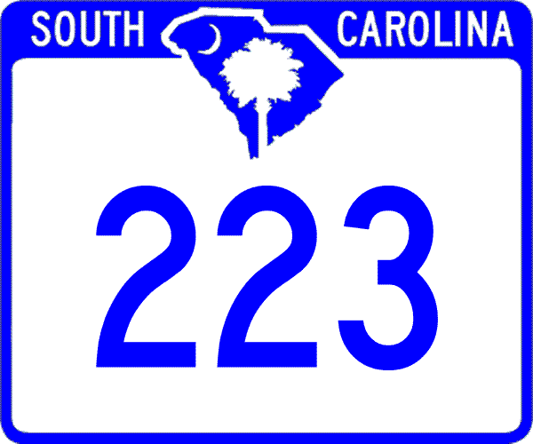
Creation: resurrected as a state route in 1949, running as it does today. This is the 2nd SC 223.
| Adjustments: SC 223 first appeared in 1940, running as it does now. In 1948, SC 223 was downgraded to an unknown secondary route before coming back as SC 223 in 1949. Improvements: SC 223 was fully paved in 1949. No multilane sections shown on maps Comment: SC 223 does not provide much useful through travel, unless SC 9 between Richburg and Ft. Lawn was shut down. | Previous SC 223's: | SC 223 #1: Appears on the 1939 Official Map, running as a spur off SC 22 (current SC 200). In 1940, this was renumbered as part of SC 901. | ||||||
| SC 224 not currently assigned | |||||||||||||||
| Previous SC 224's: |
SC 224: Appeared in 1940 as new routing. Ran from SC 269 near Rion in a northwest loop to Winnsboro, then continued east to end at SC 34 (current S-20-3) in eastern Fairfield County, a distance of 20 miles.
SC 224 was downgraded to S-20-19, part of S-20-70, S-20-23, and S-20-21 in 1948. SC 224 west of Winnsboro was paved in 1942, and several miles of SC 224 west of today's US 21 may not be paved today. |
||||||||||||||
|
|
|
| ROUTE LOG |
SC 72 Bus: 0 - 0 SC 10: 1 - 1 US 221: 3.4 - 4.4 US 25, US 178: 1 - 5.4
|
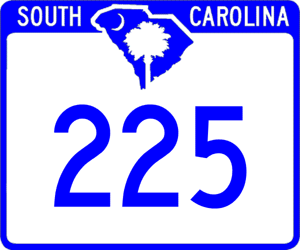
Creation: Created between 1974-77 mostly as new routing, but may have partially replaced S-24-50. Originally ran only from SC 72 Business to US 221. This is the 2nd SC 225.
| Adjustments: Around 1988 or 1989, SC 225 was extended to US 25-178. The first official map to show this is 1991. Improvements: SC 225 was fully paved upon creation; no multilane segments shown on 2005 Official map. Comment: SC 225 forms a southwest bypass of Greenwood. | Previous SC 225's: |
SC 225 #1: Appeared in 1940 as new primary routing. Ran from US 221 Waterloo east to SC 39 near Cross Hill.
In 1941 or 1942, SC 225 was extended southwest to Isle of Pines (this had once been part of SC 10), then northwest as new routing to end at SC 39 (current S-30-6) west of Baldwin. In 1948 the 14 miles of SC 225 were downgraded to S-30-29 and S-30-19. |
||||||
| SC 226 not currently assigned | |||
| Previous SC 226's: |
SC 226: Appeared in 1940 as new routing. Ran from US 21 (current S-20-26) White Oak east to SC 22 (current SC 200), a distance of 6 miles.
SC 226 was downgraded to S-20-20 in 1948. |
||
| SC 227 not currently assigned | |||
| Previous SC 227's: |
SC 227: Appeared in 1940 as new routing. Ran from SC 22 (current SC 34) east of Lebanon north to the Chester-Fairfield Line, a distance of 13 miles.
In 1941 or 1942, SC 227 was extended north a couple more miles to SC 704 (current S-12-16/22 jct). SC 227 was downgraded to S-20-22 and part of S-12-16 in 1948. |
||
| SC 228 not currently assigned | |||
| Previous SC 228's: |
SC 228: Appeared in 1940 as new routing. Ran from US 276-SC 2 (current SC 14) Barksdale to US 221 near its current I-385 jct.
In 1948, the 5 miles of SC 228 was downgraded to S-30-23. |
||
| SC 229 not currently assigned | |||
| Previous SC 229's: |
SC 229: Appeared in 1941 or 1942 as new routing. Ran from SC 227 (current S-20-22) east 5 miles to US 21 (current US 321) Woodward, then multiplexed north 2 miles to Blackstock, then headed east 10 miles to end at SC 901 near its southern end.
In 1948, SC 229 was downgraded to S-20-28, S-12-33, and S-20-32. Most of the route between Woodward and Blackstock is now S-20-130. |
||
Last Update: 6 June 2005
Previous: SC 210 - 219 |
Next: SC 230 - 239
Top | South Carolina Hwy Index
Home