< 120 to 129 | Home | 140 to 149 >
|
|
|
| ROUTE LOG |
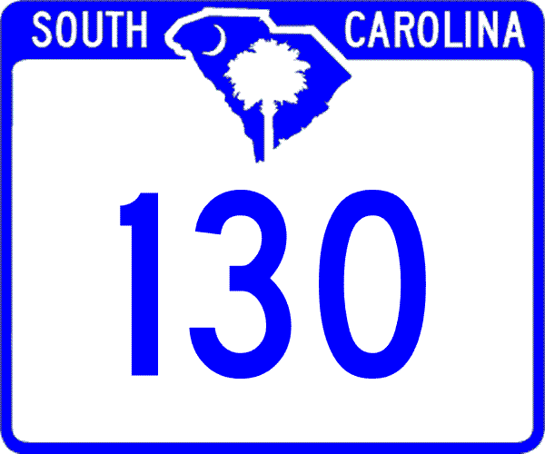
SC 59: 0 - 0 US 76, US 123, SC 28: 1.4 - 1.4 SC 183 EB: 6.9 - 8.3 SC 183 WB: 1.6 - 9.9 SC 11: 9 - 18.9 NC STATE LINE: 10.4 - 29.3
|
Creation: Created in 1937 or 1938 as new primary routing. Ran only as a short stub from US 76/SC 2 (current S-37-1) north to Newry.
| Adjustments: In 1941 or 1942, SC 130 was extended north to SC 183 near the Seneca River Bridge. In 1959, SC 130 was extended south to US 76-123/SC 28, replacing an older alignment of US 76-123/SC 28. Between 1968-70, SC 130 was rerouted to accomodate Lake Keowee. SC 130 was shifted to end at today's SC 183 EB split. The old approach to SC 183 became S-37-6. In 1976, SC 130 was extended north as new primary routing to SC 11 above Salem. A small piece of the route at Salem was once part of SC 288. About 1987, SC 130 was extended north to the state line, replacing S-37-171. Sometime in the 1990's (maps are vague), SC 130 was extended south to downtown Seneca, replacing US 76 Bus, US 123 Bus, and SC 28 Bus. Improvements: SC 130 was paved to Newry in 1939. SC 130 wasn't fully paved in all alignments until 1959! The only multilane piece of SC 130 is on the part below the Seneca Bypass, which was already 4-laned when SC 130 was assigned to it. Comment: SC 130 serves Whitewater Falls, tallest waterfall east of the Mississippi. The parking area is reached on the right just across the border off NC 281. SC 130 is in a 3-way tie (with SC 11 and SC 37) for the last primary route to be paved in South Carolina. SC 130 runs along the east edge of Lake Keowee and also passes right by the Duke Power Nuclear Plant along with SC 183. |
|||||
| SC 131 not currently assigned | ||||||||||||
| Previous SC 131's: |
SC 131: Appeared in 1937 or 1938 as new primary routing. Ran from US 76/SC 13-28 (current SC 130) Seneca east a mile to Lonsdale Mills.
In 1941 or 1942, SC 131 was extended east to end at SC 289 (current S-39-22) Clemson College for a total length of 8 miles. In 1948, SC 131 was downgraded to S-37-37 and an unknown Pickens County route. Today, Lake Hartwell has changed the landscape such that SC 131 is now also S-37-33 and it is unclear if any of the Pickens County side is still a road. |
|||||||||||
| SC 132 not currently assigned | ||||||||||||
| Previous SC 132's: |
SC 132 #1: Appeared in 1937 or 1938 as new primary routing. Ran 3 miles from SC 13 (current SC 124) to US 25-276 (current S-23-13) on the northwest side of Greenville.
In 1948, SC 132 was downgraded to S-23-20 Woodside Ave. Today, a small piece of SC 183 uses old SC 132. SC 132 #2:Looks to have been created in 1974 or 1975 as new construction. Served as the north loop around Chester between US 321 (just north of SC 9 WB split) and SC 72-121, 3.6 miles worth. Sometime around 1995 (maps are vague), SC 132 was replaced by part of SC 97 and a P-1203. Today P-1203 is part of US 321 Business. The only map I have to explicitly show this is the late 80's County Map Atlas. |
|||||||||||
|
|
|
| ROUTE LOG |
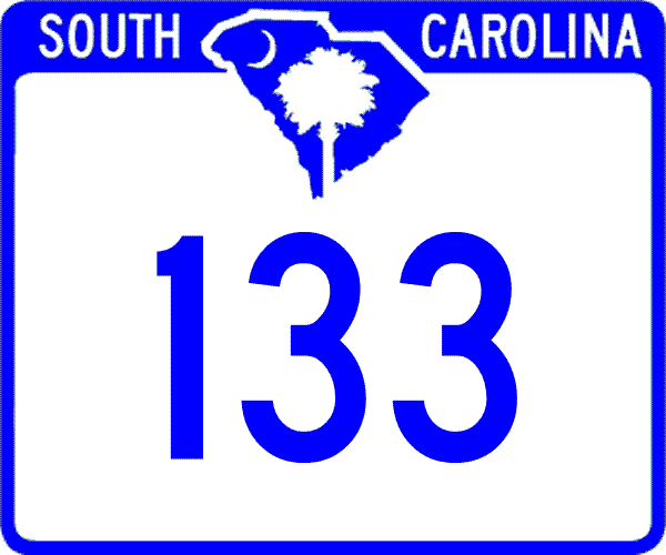
SC 93: 0 - 0 US 76, US 123, SC 28: 0.7 - 0.7 SC 137 SB: 8.3 - 9 SC 137 NB: 0.5 - 9.5 SC 183: 2.2 - 11.7 SC 11: 9.9 - 21.6
|
Creation: Created as new primary routing in 1937 or 1938. Originally ran only between US 76/SC 13-28 (current SC 93) Clemson and SC 183 above Six Mile.
| Adjustments: In 1976, SC 133 was rerouted at Six Mile and extended north to SC 11 as it runs today. The old route northeast to SC 183 from Six Mile became part of an extended SC 137. Improvements: SC 133 was paved upon designation Official Maps do not indicate it, but by 1987, SC 133 was 4-laned on its SC 137 multiplex in Six Mile, as well as about a mile's worth from near SC 93 north past US 76-123. Comment: SC 133 is the actual street through the Clemson downtown business district. |
|||||
| SC 134 not currently assigned | ||||||||||||
| Previous SC 134's: |
SC 134: Appeared in 1937 or 1938 as new primary routing. Ran from US 76, SC 13-28 (current SC 130) Seneca north 8 miles to SC 183 (current SC 188/S-37-12 jct).
Although fully paved, SC 134 was downgraded in 1948 to S-37-16. Today, Lake Keowee covers some of this routing, creating gaps in the road. S-37-588, S-37-589, and 2 miles of SC 188 are now the numbers on the north side of the lake. |
|||||||||||
|
|
|
| ROUTE LOG |
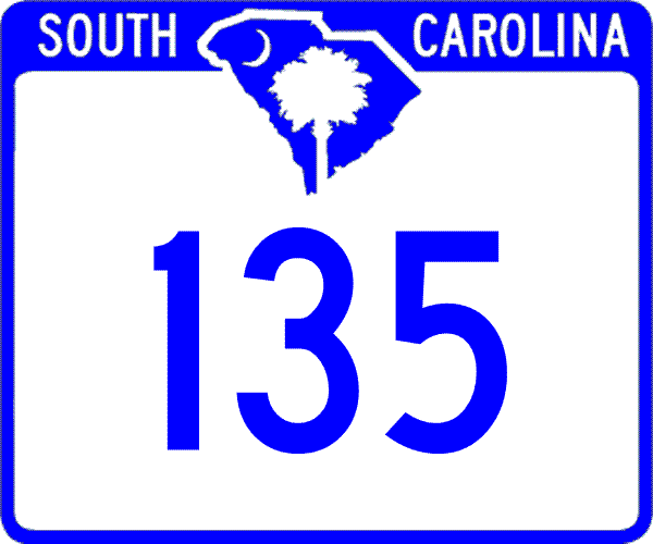
US 178: 0 - 0 SC 8 SB: 6 - 6 SC 8 NB: 0.1 - 6.1 US 123: 0.5 - 6.6 SC 93 WB: 0.8 - 7.4 SC 93 EB: 0.1 - 7.5 SC 183: 4.1 - 11.6 SC 186: 3 - 14.6 SC 8: 6.4 - 21
|
Creation: Created in 1939 as new primary routing. Ran only from SC 13 (current SC 93) Easley north to SC 186 Dacusville.
|
Adjustments:In 1940, SC 135 was extended in both directions to its current endpoints. Improvements: SC 135 was fully paved upon designation; no multilane sections shown on the 2005 Official Map. Comment: SC 135 essentially provides a bypass for SC 8 north of Easley that avoids Pickens; SC 135 is the main way to get from Anderson to Easley (via US 178) |
|||||
| SC 136 not currently assigned | ||||||||||||
| Previous SC 136's: |
SC 136: Appeared in 1940 as new primary routing. Ran as a 1 mile cutoff between SC 133 and SC 13 (current SC 93) north of Clemson.
In 1948, SC 136 was downgraded to secondary routing, but today is now part of US 76-123 SC 28. |
|||||||||||
|
|
|
| ROUTE LOG |
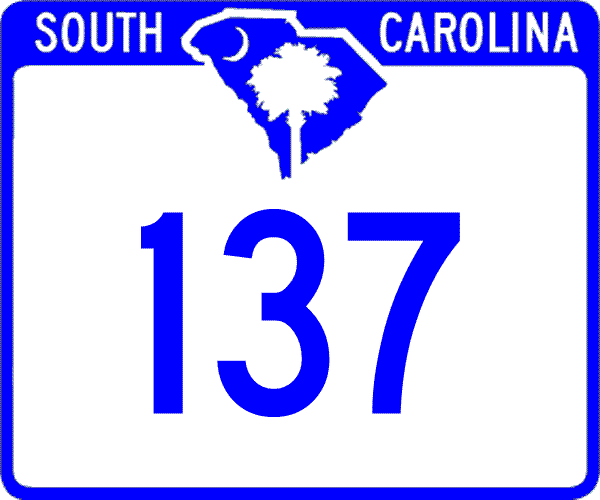
SC 93: 0 - 0 SC 133 SB: 4.8 - 4.8 SC 133 NB: 0.5 - 5.3 SC 183: 3.1 - 8.4
|
Creation: Resurrected as a state route in 1950, running from US 123 (current SC 93) Norris to SC 133 Six Mile.
|
Adjustments:SC 137 origianlly appeared in 1940, running from SC 13 (current SC 93) Norris to SC 133 Six Mile. In 1948, SC 137 was downgraded to an unknown secondary route before its 1950 resurrection. In 1976, SC 137 was extended through Six Mile and northeast to SC 183, replacing SC 133's original north ending. Improvements: SC 137 was fully paved in 1940; no multilane sections shown on the 2005 Official Map, but the SC 133 multiplex in Six Mile was 4-laned by 1987. Comment: SC 137 scrapes the west edge of Six Mile Mountain. |
|||||
| SC 138 not currently assigned | |||
| Previous SC 138's: |
SC 138: Appeared in 1940 as new primary routing. Ran from SC 182 in a northwest arc to US 76-SC 13 (current US 76-123) Westminster, a total length of 13 miles.
In 1948, SC 138 was downgraded to S-37-20. Today, Lake Hartwell covers part of the lower end of old SC 138, so this is now also S-37-603 and S-37-85. |
||
| SC 139 not currently assigned | |||
| Previous SC 139's: |
SC 139: Appeared in 1940 as new primary routing. Ran from SC 133 east across SC 13 (current SC 93) Central and ended at SC 88 at the Anderson-Pickens Line, a total length of 7 miles. There was a second discontinuous piece of SC 139 that ran 2 miles from US 76/SC 13-28 (current S-37-1) east of Newry to the Seneca River Bridge (Pickens County Line)
In 1948, SC 139 was truncated to run only from US 123 (current SC 93) Central to SC 88, leaving behind S-39-15. The Oconee County piece became S-37-27. In 1953, the rest of SC 139 was downgraded to S-39-18. I believe SC 139 is the only route to survive the 1948 mass denumbering only to be later totally decommissioned to secondary status. |
||
Last Update: 26 August 2005
Previous: SC 120 - 12 |
Next: SC 140 - 149
Top | South Carolina Hwy Index
Home