< VA 177 | Home | VA 179 >
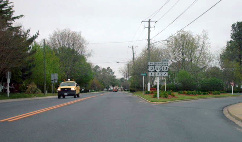
Photo: US 13 Business north at VA 178 (photo by Mapmikey 4/26/07)
| |||||||
| ROUTE LOG US 13 Bus: 0 - 0 US 13: 0.36 - 0.36 Accomack-Northampton Line: 0.50 - 0.86 VA 181: 0.48 - 1.34 VA 180 WB: 8.24 - 9.58 VA 180 EB: 0.03 - 9.61 SR 620: 1.90 - 11.51 |
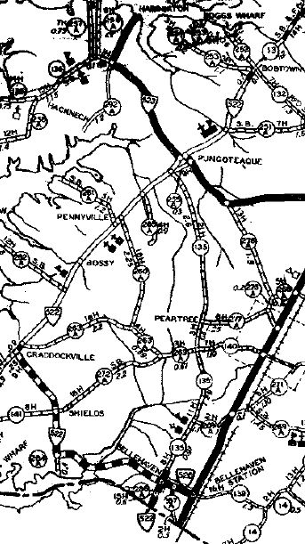
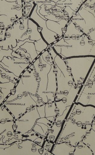
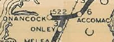
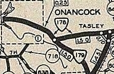
Creation: Appeared in July 1933 as a renumbering of VA 522. VA 178 was in two pieces: US 13 Exmore to Bobtown; Onancock Wharf east to US 13 Tasley. This is the only VA 178.
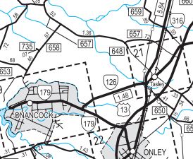
Adjustments: In Aug 1990 (CTB), VA 178's northern piece was renumbered as an extention of VA 179 and all of VA 126.
Improvements: Paved from Exmore to Belle Haven and from Onancock to Tasley upon inception. In 1936, the rest of VA 178 was paved. VA 178 has no multilane segments. Posting: Fully posted; Multiplexes: VA 180 (0.03 mi) Legislative names: None Other names: Main St (Exmore); Belle Haven Rd (US 13 to VA 181); Shields Bridge Rd/Bobtown Rd (west of VA 181) Scenic Byway: No segments Comment: The current routing of VA 178 seems silly - either extend VA 178 over SR 718 to Onancock or truncate it to VA 180. Official maps over the years imply VA 178 was expanded towards Onancock but this has never been the case. | ||||||
Previous: VA 177 |
Next: VA 179
Top | Virginia Hwy Index
Home
Page last modified 30 December 2017