 |
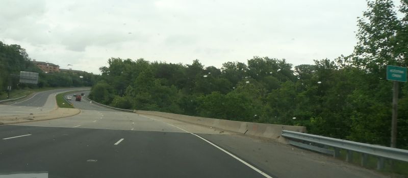
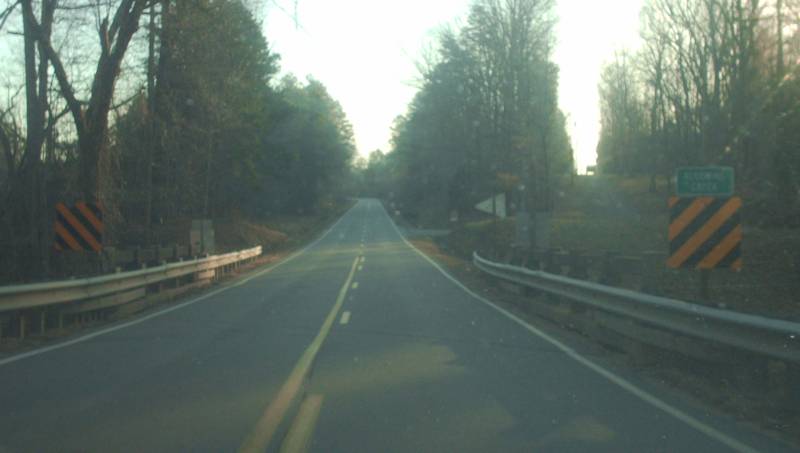
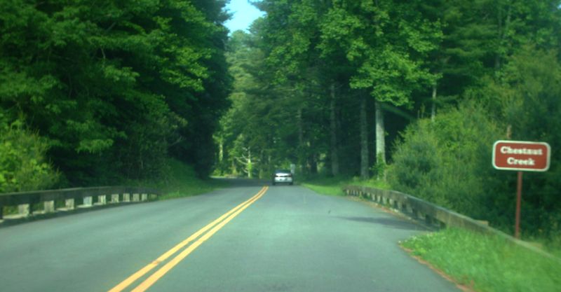
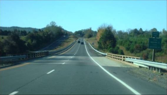
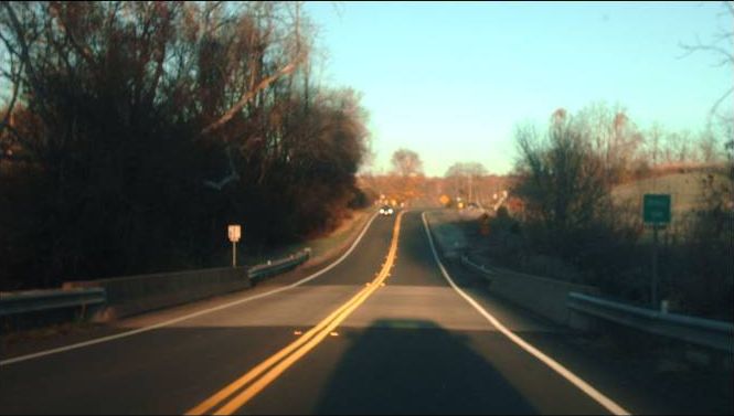
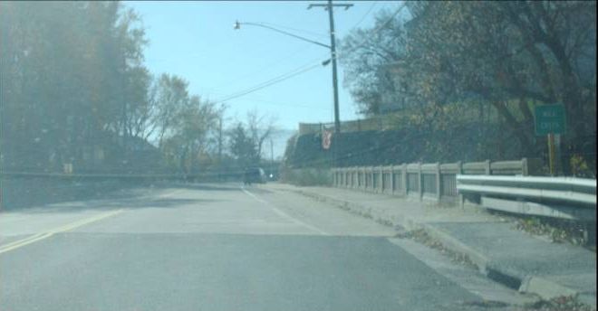
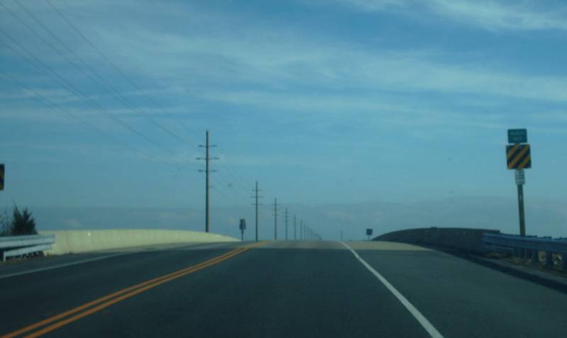
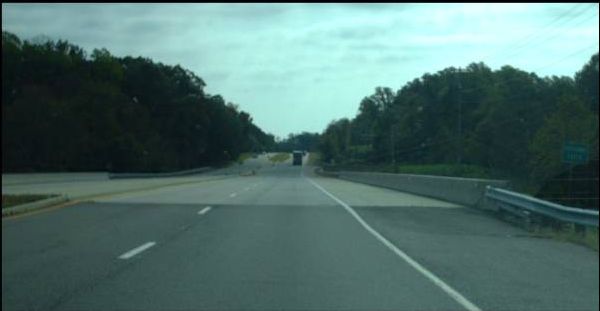
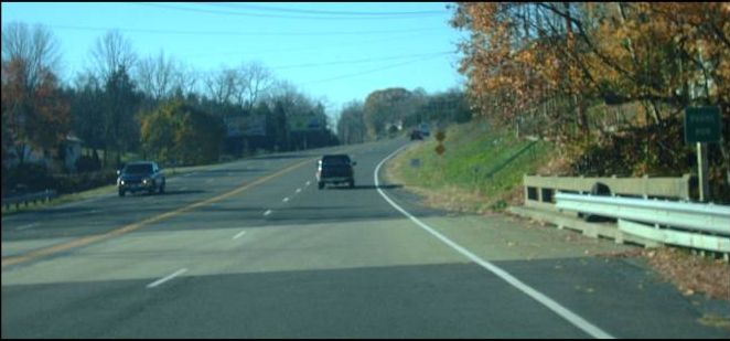
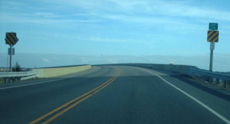
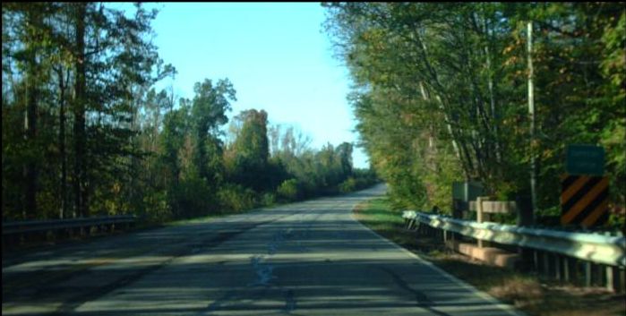
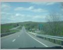
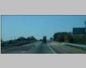
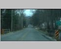
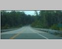
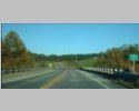
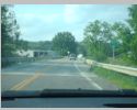
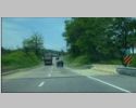
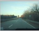
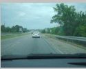
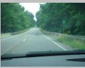
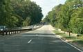
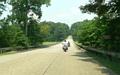
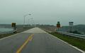
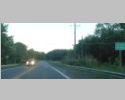
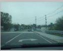
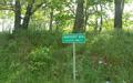
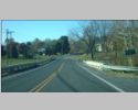
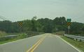
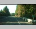
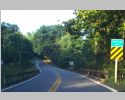
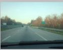
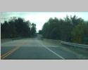
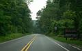
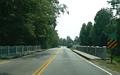
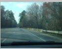
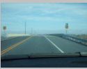
 Eastbound VA 289 at Accotink Creek, near Springfield, Fairfax County. Photo by Mapmikey, taken May 23, 2013. Eastbound VA 289 at Accotink Creek, near Springfield, Fairfax County. Photo by Mapmikey, taken May 23, 2013. |
 |
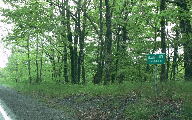
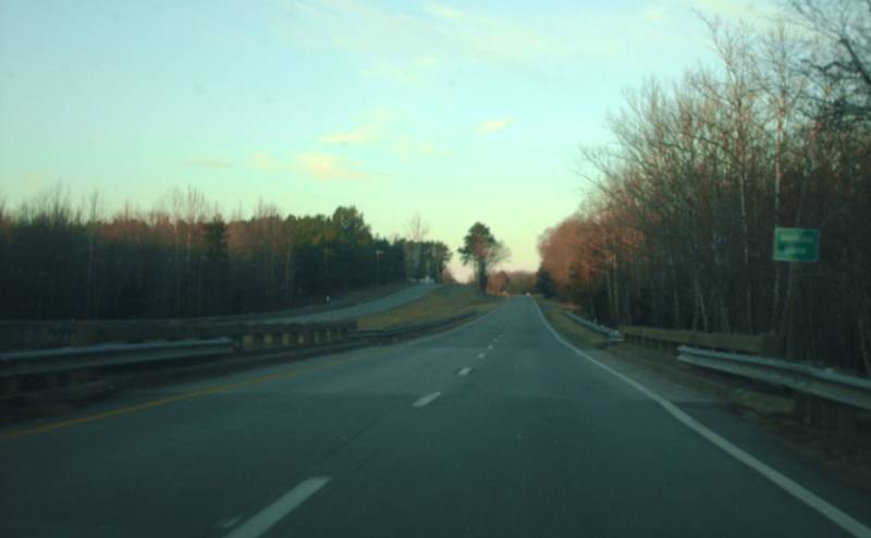
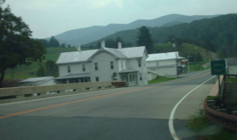
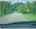
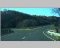
On US 250 at Allegheny Mountain, west of
Monterey, Highland County. Photo by Adam Froehlig, taken June 4,
2008. |
 |
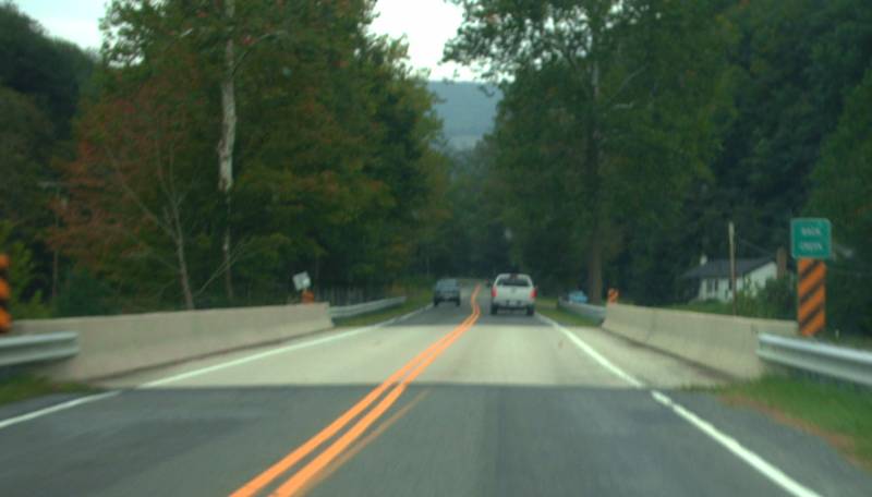
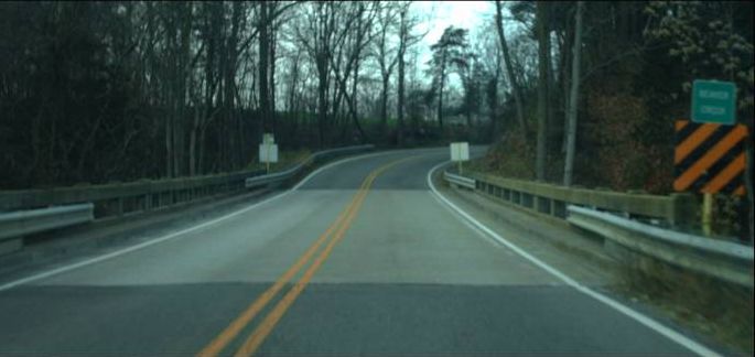
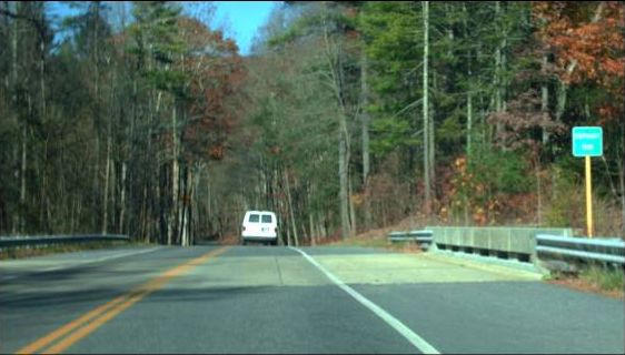
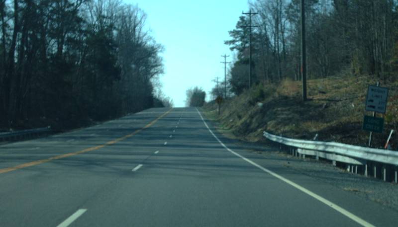
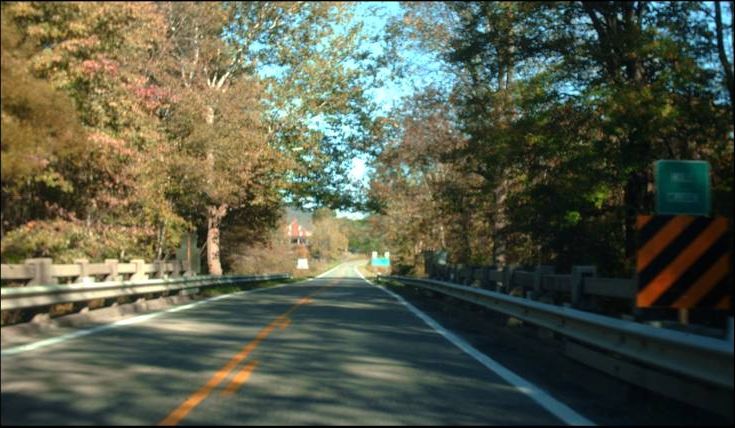
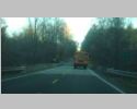
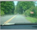
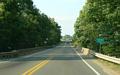
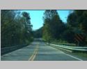
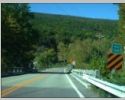
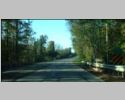
Eastbound VA 84 at Back Creek, near Mill Gap, Highland County. Photo by Mapmikey. |
 |
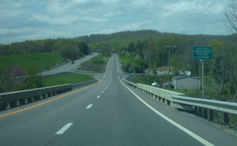
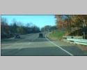
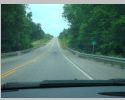
Northbound VA 100 at Back Creek, near Dublin, Pulaski County. Photo by Mapmikey, taken April 14, 2012. |
 |
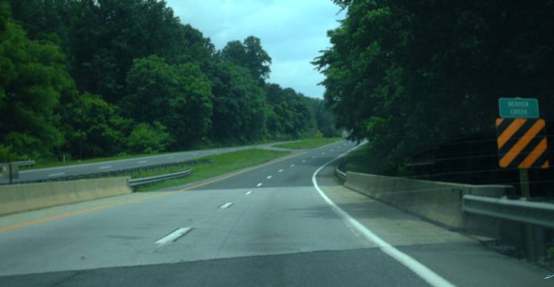
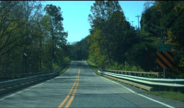
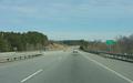
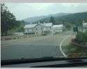
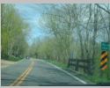
Westbound VA 257 at Beaver Creek, at Ottobine, Rockingham County. Photo by Mapmikey. |
 |
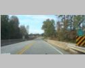
Eastbound US 460 at Beaver Creek, near Oxford Furnace, Campbell County. Photo by Mapmikey. |
 |
Eastbound SR 600/SR 603 at Big Laurel Creek,
east of Konnarock, southern Smyth County. Photo by Adam Froehlig,
taken September 1, 2007. |
 |
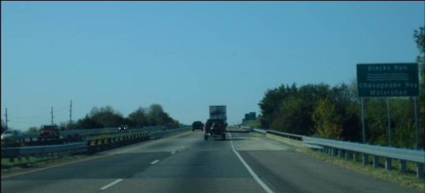
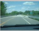
Southbound I-81 at Blacks Run, City of Harrisonburg. Photo by Mapmikey. |
 |
Northbound US 522 at Blackwater Creek, near Woodville, Rappahannock County. Photo by Mapmikey. |
 |
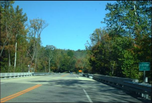
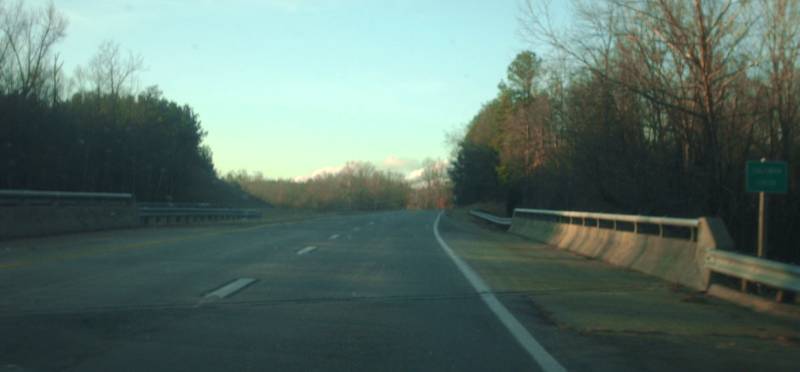
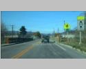
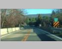
Northbound VA 18 at Blue Spring Run, near Covington, Alleghany County. Photo by Mapmikey, taken October 8, 2010. |
 |
Southbound VA 96 at Bluewing Creek, near Christie, Halifax County. Photo by Mapmikey. |
 |
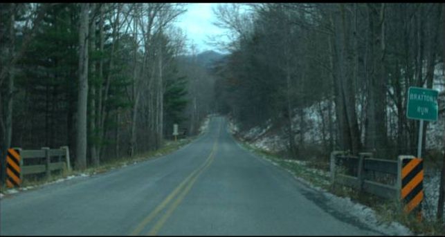
Eastbound SR 850 (old US 60) at Brattons Run, near Denmark, Rockbridge County. Photo by Mapmikey. |
 |
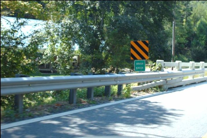
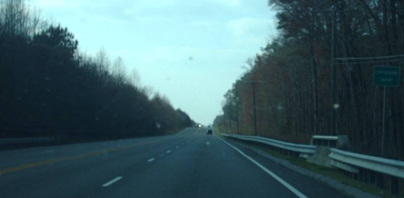
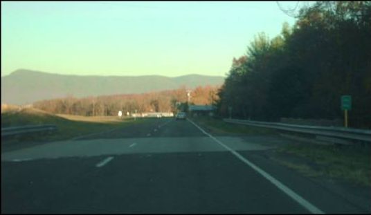
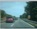
Southbound VA 94 at Brush Creek, Carroll County. Photo by Mapmikey, taken September 3, 2010. |
 |
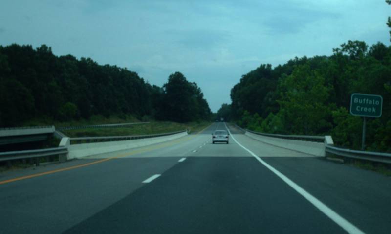
Eastbound US 15-460 at Buffalo Creek, near Farmville, Prince Edward County. Photo by Mapmikey. |
 |
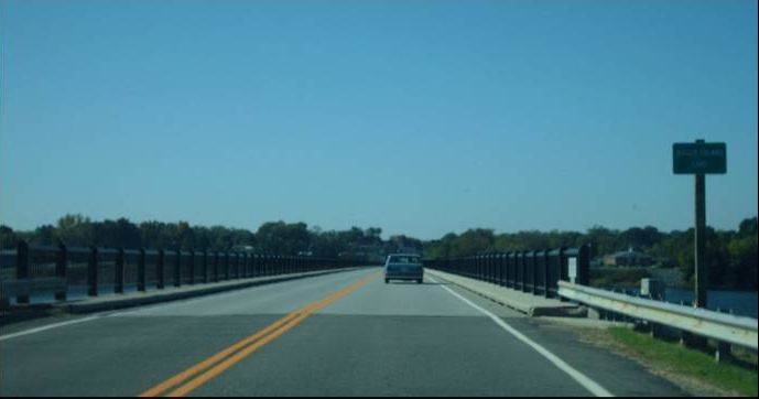
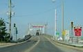
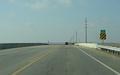
Westbound US 15-58 Business at Buggs Island Lake, at Clarksville, Mecklenburg County. Photo by Mapmikey, taken October 21, 2010. |
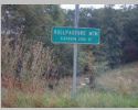 |
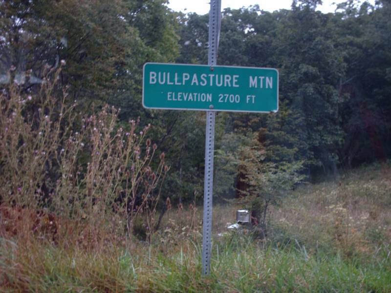
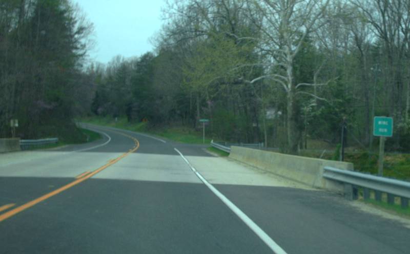
Along US 250 at Bullpasture Mountain, near McDowell, Highland County. Photo by Mapmikey. |
 |
Westbound US 58 at Butchers Creek, near Finchley, Mecklenburg County. Photo by Mapmikey, taken October 21, 2010. |
 |
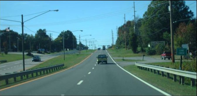
Westbound US 58-360 at Cane Creek, City of Danville. Photo by Mapmikey, taken October 21, 2010. |
 |
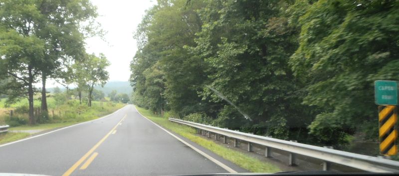
Northbound VA 259 at Capon Run, near the WV border, Rockingham County. Photo by Mapmikey, taken July 27, 2013. |
 |
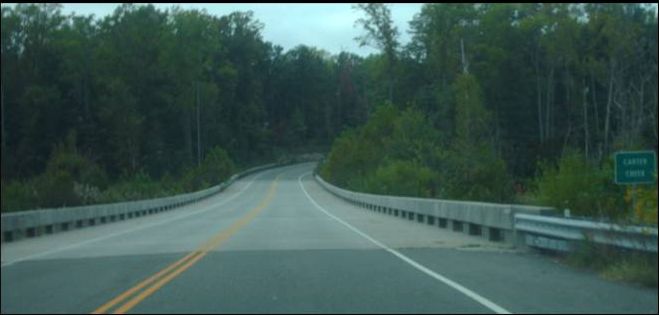
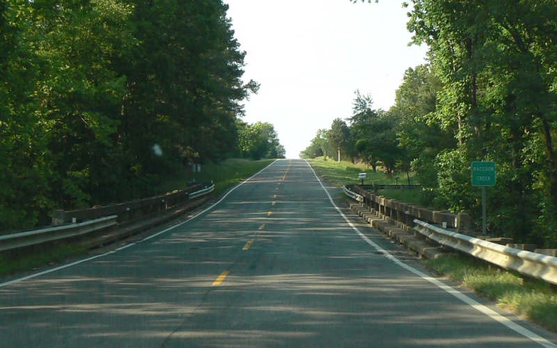
Northbound SR 614 at Carter Creek, near White Marsh, Gloucester County. Photo by Mapmikey, taken October 19, 2010. |
 |
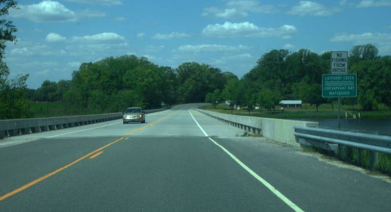
Northbound SR 624 at Catpoint Creek, near Naylors Beach, Richmond County. Photo by Mapmikey, taken April 24, 2012. |
 |
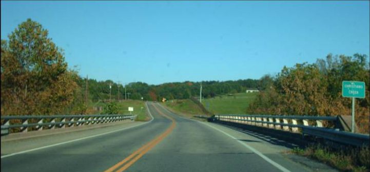
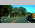
Southbound Blue Ridge Parkway (VA 48) at Chestnut Creek, near Low Gap, Grayson County. Photo by Mapmikey, taken May 25, 2012. |
 |
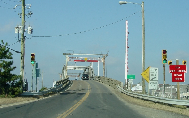
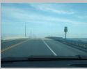
Former VA 175 at the Chincoteague Channel in
Chincoteague, Accomack County. This drawbridge will soon be
removed. Photo by Adam Froehlig, taken January 10, 2005. |
 |
Eastbound VA 254 at Christians Creek, near Barren Ridge, Augusta County. Photo by Mapmikey. |
 |
Eastbound VA 175 at Cockle Creek, near Chincoteague, Accomac County. Photo by Mapmikey. |
 |
Southbound US 501 at Coleman Creek, near Cluster Springs, Halifax County. Photo by Mapmikey. |
 |
Westbound US 460 at Coppahunk Swamp, near Waverly, Sussex County. Photo by Mapmikey. |
 |
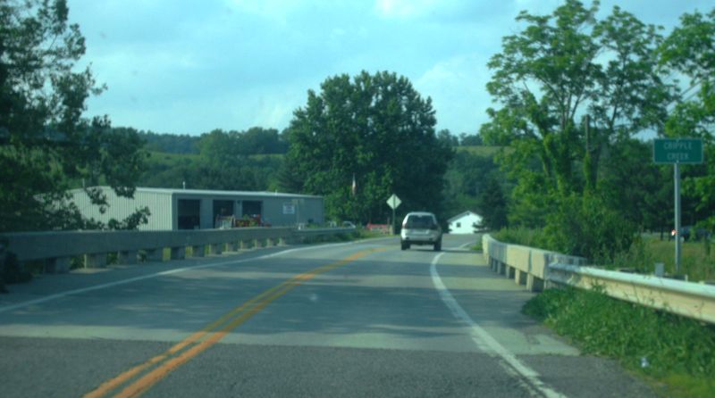
Northbound US 21 at Cripple Creek, at Speedwell, Wythe County. Photo by Mapmikey, taken May 25, 2012. |
 |
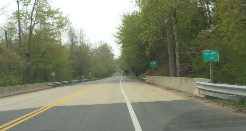
Southbound US 15 at Crooked Run, near Locust Dale, entering Madison County. Photo by Mapmikey, taken April 23, 2013. |
 |
Southbound US 29 at Crooked Run, near Leon, entering Madison County. Photo by Mapmikey. |
 |
Westbound VA 263 at Crooked Run, near Rinkerton, Shenandoah County. Photo by Mapmikey. |
 |
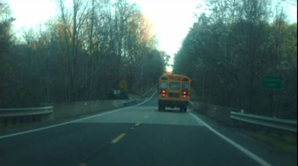
Westbound US 33 at Cub Run, at Penn Laird, Rockbridge County. Photo by Mapmikey, taken May 21, 2010. |
 |
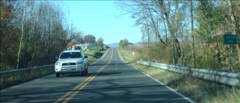
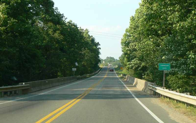
Northbound US 15 at Cunningham Creek, near
Palmyra, Fluvanna County. Photo by Adam Froehlig, taken May 31,
2008. |
 |
Northbound US 522 at Devils Run, at Griffinsburg, Culpeper County. Photo by Mapmikey. |
 |
Westbound US 60/VA 33 at Diascund Creek, at Bottoms Bridge, entering Henrico County. Photo by Mapmikey, taken April 24, 2012. |
 |
Westbound US 360 at Difficult Creek, near Clover, Halifax County. Photo by Mapmikey. |
 |
Eastbound US 360 at Difficult Creek, near Clover, Halifax County. Photo by Mapmikey. |
 |
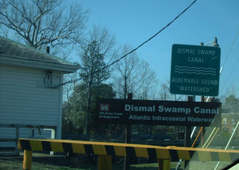
Southbound VA 165 at Dismal Swamp Canal, entering City of Chesapeake. Photo by Mapmikey. |
 |
Southbound US 17/VA 33 at Dragon run, near Glenns, entering Gloucester County. Photo by Mapmikey, taken October 19, 2010. |
 |
Eastbound US 360 at Dry Creek, at Woodlake, Chesterfield County. Photo by Mapmikey. |
 |
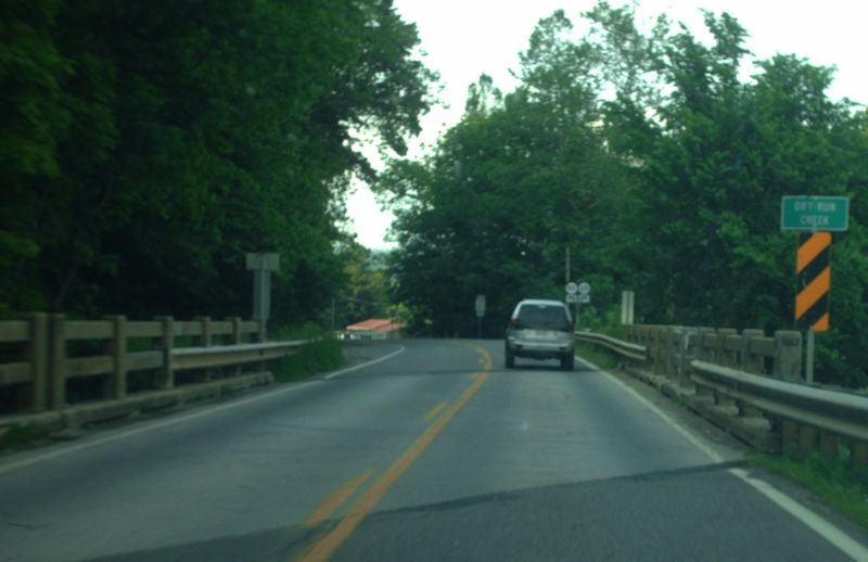
Northbound US 21 at Dry Run Creek, at Speedwell, Wythe County. Photo by Mapmikey, taken May 25, 2012. |
 |
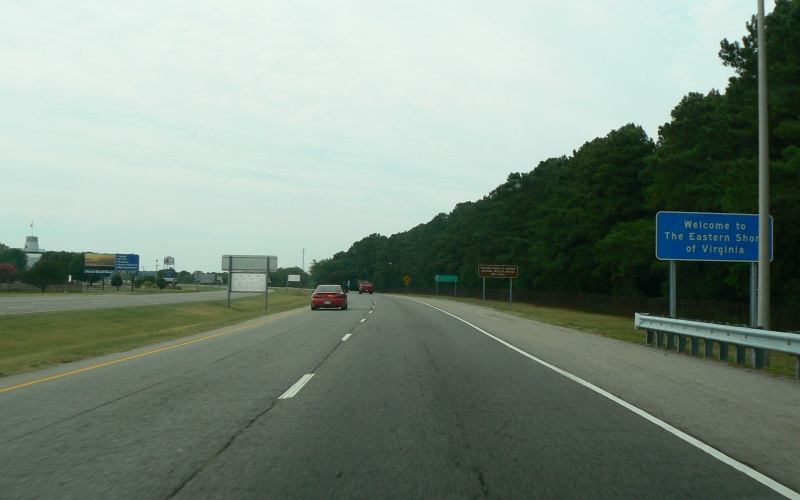
Northbound US 13 entering the Eastern Shore,
north of the Chesapeake Bay Bridge Tunnel, Northampton County.
Photo by Adam Froehlig, taken July 20, 2007. |
 |
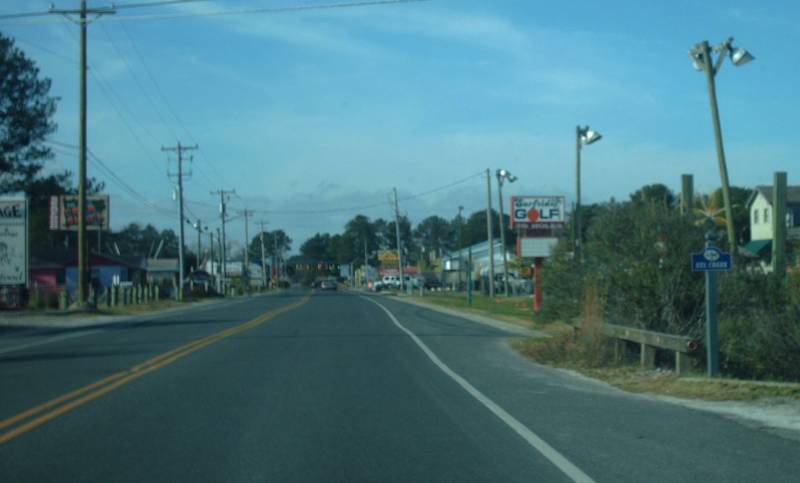
Westbound Maddox Blvd (old SR 2115) at Eel Creek, at Chincoteague, Accomac County. Photo by Mapmikey. |
 |
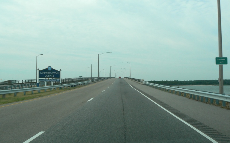
Northbound US 13 at Fisherman Inlet, north of
the Chesapeake Bay Bridge Tunnel, Northampton County. Photo by
Adam Froehlig, taken July 20, 2007. |
 |
Westbound VA 307 at Flat Creek, Nottoway County. Photo by Mapmikey. |
 |
Westbound Maddox Blvd (old SR 2115) at Fowling Gut, at Chincoteague, Accomac County. Photo by Mapmikey. |
 |
Westbound US 58 at Fox Creek, near Fox, Grayson County. Photo by Mapmikey, taken September 3, 2010. |
 |
Eastbound VA 6 at Genito Creek, near Crozier, Goochland County. Photo by Mapmikey, taken January 7, 2012. |
 |
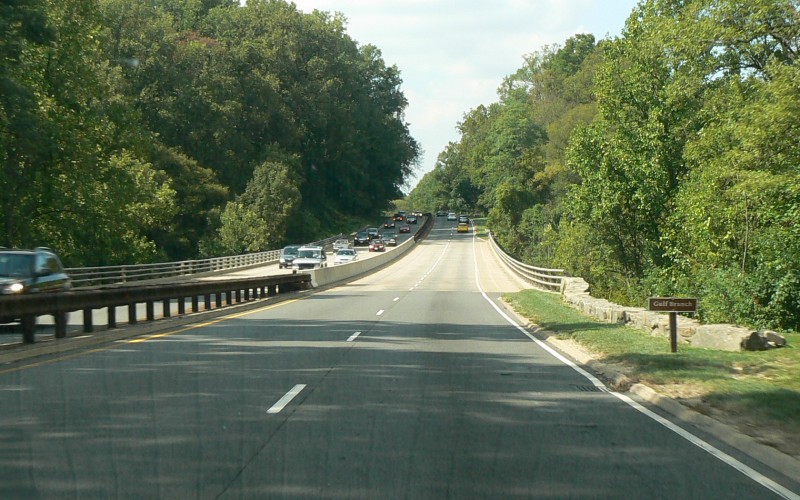
Northbound George Washington Pkwy at Golf
Branch, near McLean, Fairfax County. Photo by Adam Froehlig, taken
September 17, 2008. |
 |
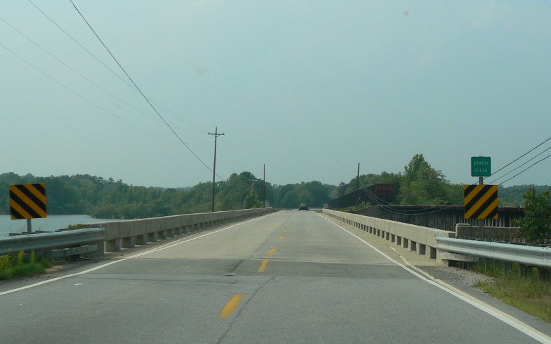
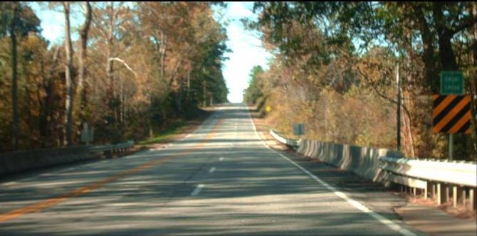
Northbound US 15 at Grassy Creek, south of
Clarksville, Mecklenburg County. Photo by Adam Froehlig, taken May
31, 2008. |
 |
Southbound US 1 at Great Creek, near Meredithville, Brunswick County. Photo by Mapmikey, taken October 21, 2010. |
 |
Southbound US 15 at Great Run, near Locust Dale, Madison County. Photo by Mapmikey, taken April 23, 2013. |
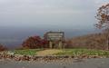 |
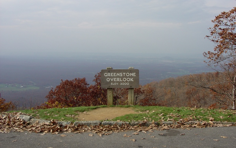
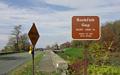
On the Blue Ridge Pkwy at Greenstone Overlook,
south of Rockfish Gap, eastern Augusta County. Photo by Adam
Froehlig, taken October 30, 2004. |
 |
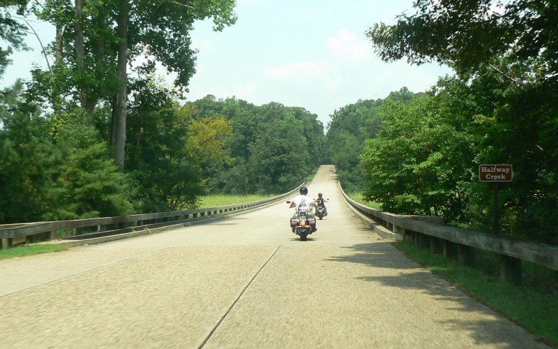
Eastbound Colonial Pkwy at Halfway Creek, near
Williamsburg, James City County. Photo by Adam Froehlig, taken
July 29, 2007. |
 |
Eastbound VA 198 at Harpers Creek, near Harcum, Gloucester County. Photo by Mapmikey, taken October 19, 2010. |
 |
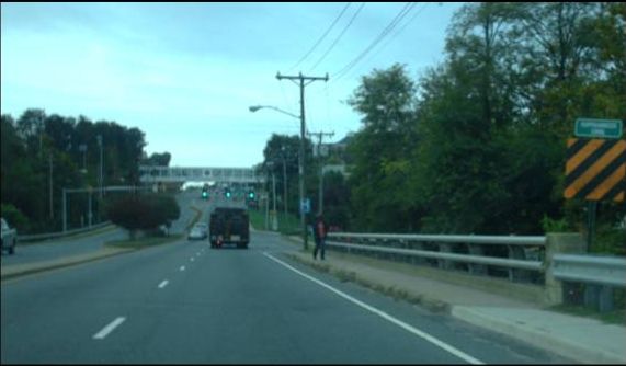
Eastbound VA 3 at Hazel Run, City of Fredericksburg. Photo by Mapmikey, taken October 19, 2010. |
 |
Southbound US 17-360 at Hoskins Creek, at Tappahannock, Essex County. Photo by Mapmikey, taken October 19, 2010. |
 |
Westbound US 33 at Kegharr Run, near Rawley Springs, Rockingham County. Photo by Mapmikey. |
 |
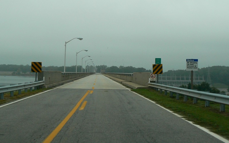
Northbound VA 4 at Kerr Dam, southeast of
Boydton, Mecklenburg County. Photo by Adam Froehlig, taken
September 11, 2008. |
 |
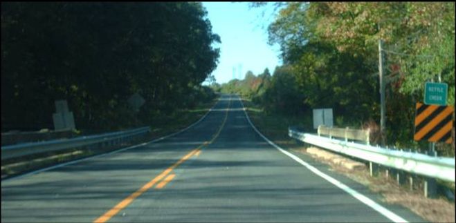
Southbound VA 4 at Kettle Creek, near Kerr Dam, Mecklenburg County. Photo by Mapmikey, taken October 21, 2010. |
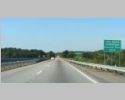 |
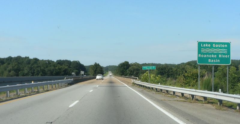
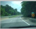
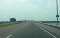
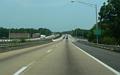
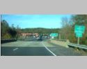
Southbound I-85 at Lake Gaston, near Bracey, Mecklenburg County. Photo by Mapmikey, taken August 8, 2013. |
 |
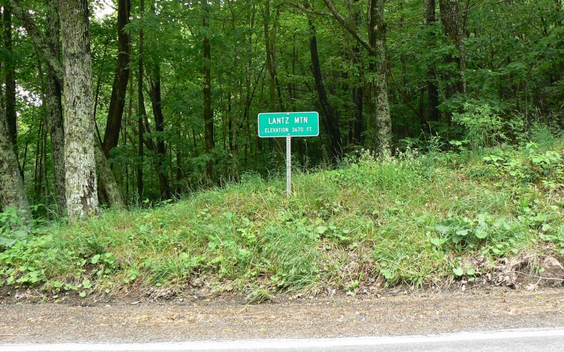
On US 250 at Lantz Mountain, west of
Monterey, Highland County. Photo by Adam Froehlig, taken June 4,
2008. |
 |
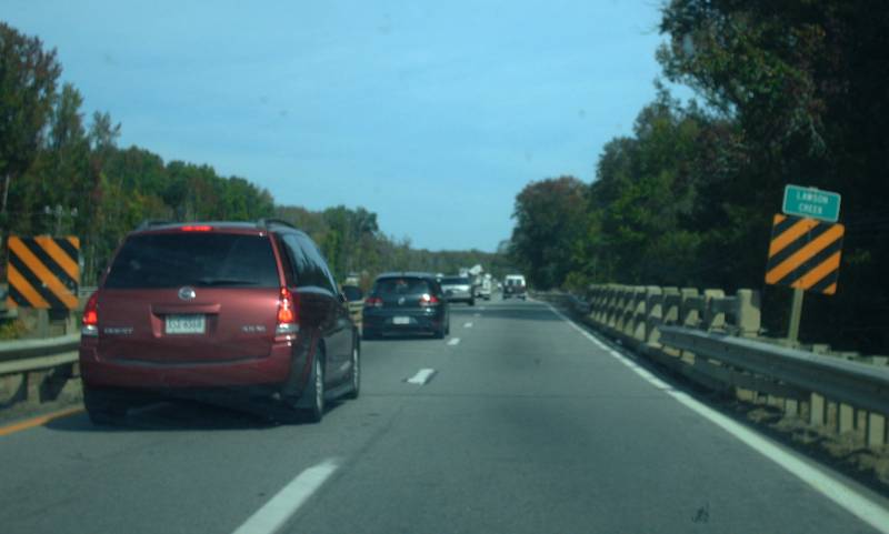
Westbound US 58-360 at Lawson Creek, near South Boston, Halifax County. Photo by Mapmikey. |
 |
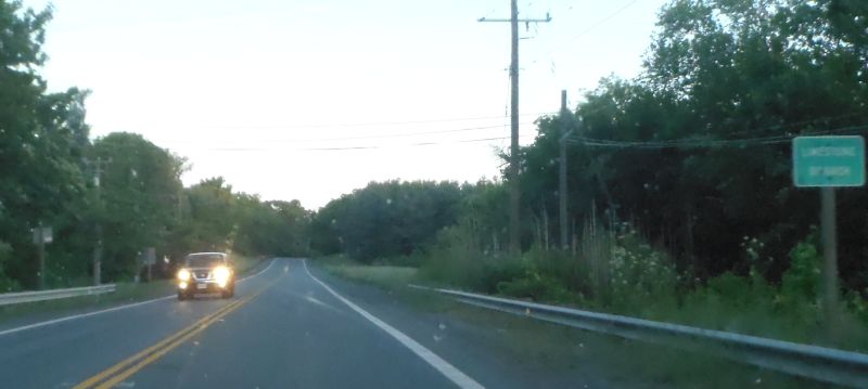
Southbound US 15 at Limestone Branch, near Leesburg, Loudoun County. Photo by Mapmikey, taken May 25, 2013. |
 |
Northbound VA 259 at Linville Creek, at Broadway, Rockingham County. Photo by Mapmikey. |
 |
Southbound US 1 at Long Creek, near Doswell, Caroline County. Photo by Mapmikey. |
 |
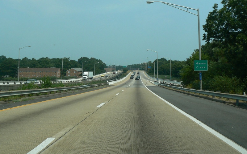
Westbound I-64 at Mason Creek in Norfolk.
Photo by Adam Froehlig, taken July 28, 2007. |
 |
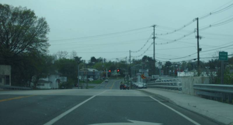
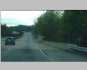
Westbound US 11 Alt/460 at Mason Creek, City of Salem. Photo by Mapmikey. |
 |
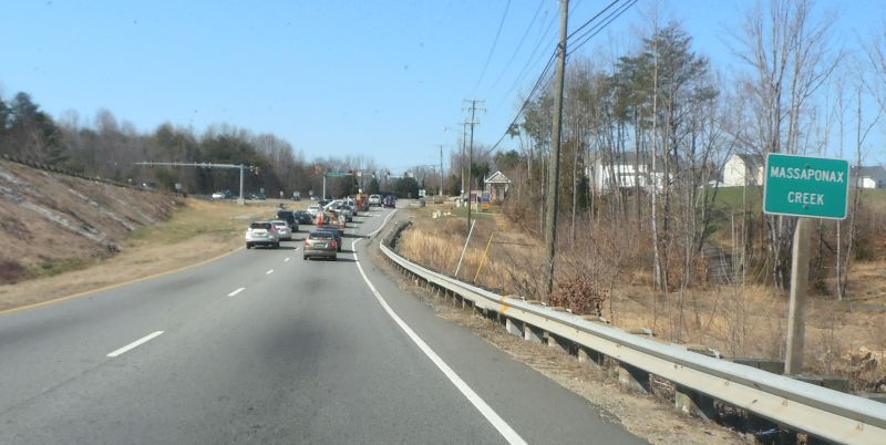
Westbound VA 208 at Massaponax Creek, at Leavells, Spotsylvania County. Photo by Mapmikey, taken April 6, 2013. |
 |
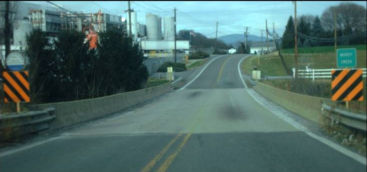
Southbound US 11 at Mill Creek, at Mt. Jackson, Shenandoah County. Photo by Mapmikey. |
 |
Eastbound VA 39-42 at Mill Creek, near Millboro Springs, Bath County. Photo by Mapmikey, taken October 8, 2010. |
 |
Southbound VA 20 at Mine Run, near Locust Grove, Orange County. Photo by Mapmikey. |
 |
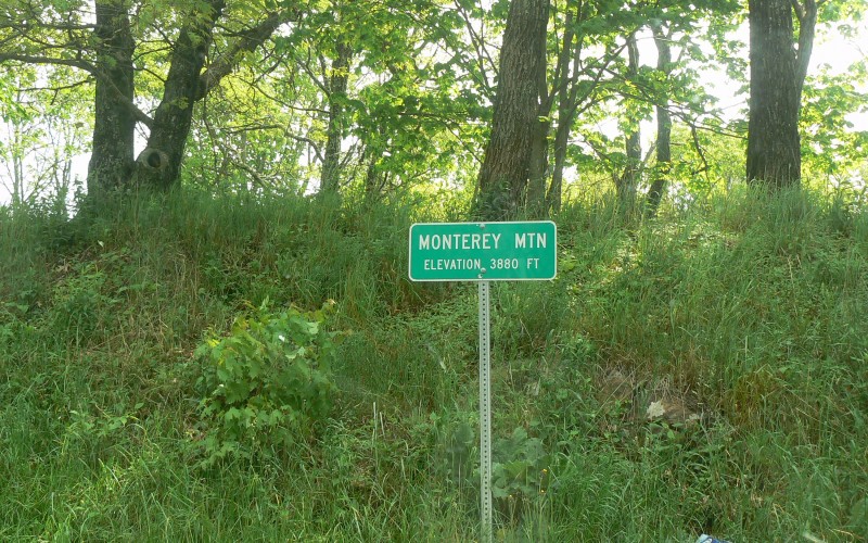
On US 250 at Monterey Mountain, west of
Monterey, Highland County. Photo by Adam Froehlig, taken June 4,
2008. |
 |
Eastbound VA 175 at Mosquito Creek, near Chincoteague, Accomac County. Photo by Mapmikey. |
 |
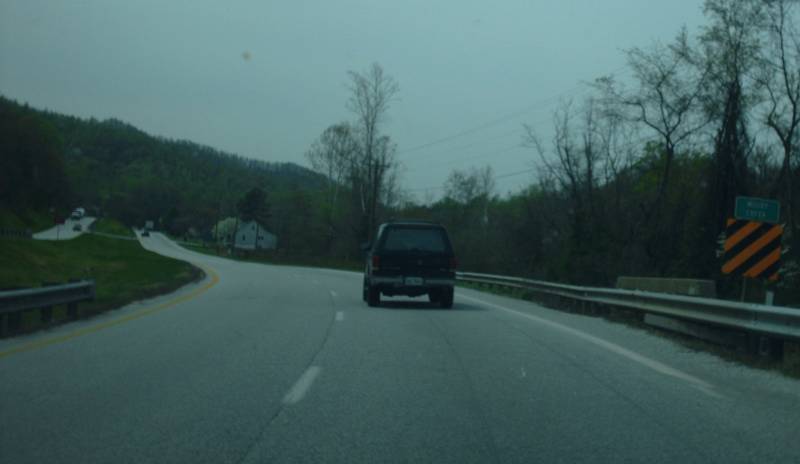
Southbound US 29 at Muddy Creek, near Myndus, Nelson County. Photo by Mapmikey. |
 |
Westbound US 33 at Muddy Creek, at Hinton, Rockingham County. Photo by Mapmikey. |
 |
Southbound VA 42 at Narrow Passage Creek, at Calvary, Shenandoah County. Photo by Mapmikey. |
 |
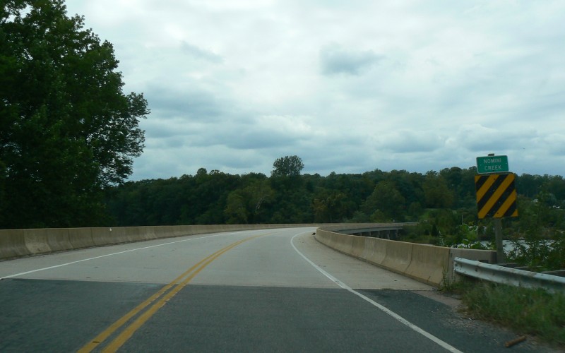
Westbound VA 202 at Nomini Creek, near Mount
Holly, Westmoreland County. Photo by Adam Froehlig, taken
September 11, 2008. |
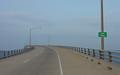 |
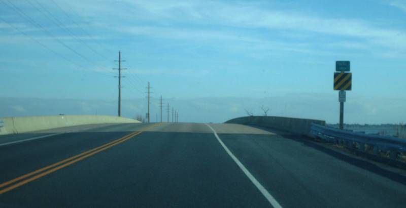
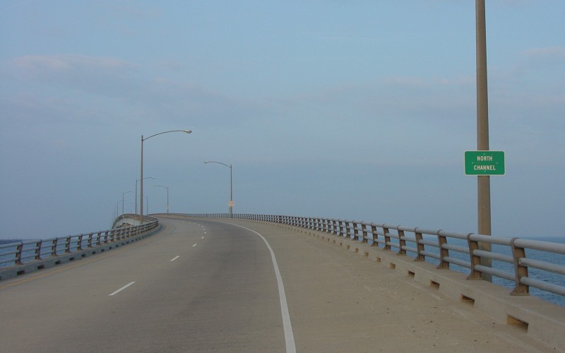
Southbound US 13 at North Channel, on the
Chesapeake Bay Bridge Tunnel. Photo by Adam Froehlig, taken
October 2, 2004. |
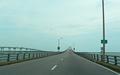 |
Northbound US 13 at North Channel, on the
Chesapeake Bay Bridge Tunnel. Photo by Adam Froehlig, taken July
20, 2007. |
 |
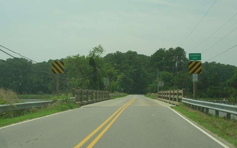
Northbound VA 178 at Occohannock Creek, near
Belle Haven, southern Accomack County. Photo by Adam Froehlig,
taken July 6, 2005. |
 |
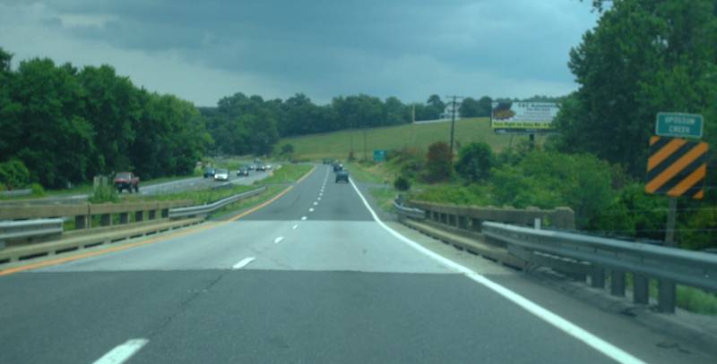
Eastbound US 460 at Opossum Creek, near Lynchburg, Campbell County. Photo by Mapmikey. |
 |
Westbound US 211 at Pass Run, near Luray, Page County. Photo by Mapmikey. |
 |
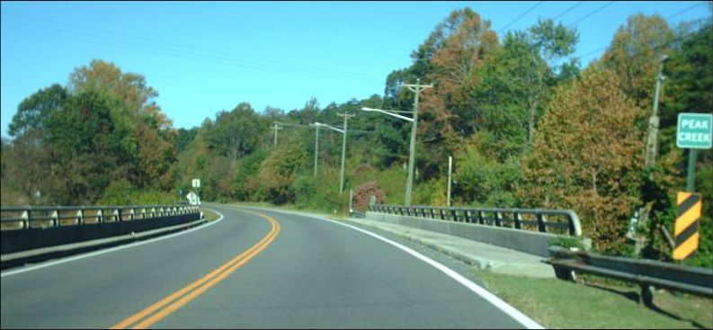
Northbound VA 99 at Peak Creek, at Pulaski, Pulaski County. Photo by Mapmikey, taken October 8, 2010. |
 |
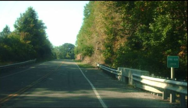
Southbound VA 100 at Pine Run Creek, Pulaski County. Photo by Mapmikey, taken September 3, 2010. |
 |
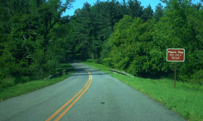
Southbound Blue Ridge Parkway (VA 48) at Pipers Gap, Carroll County. Photo by Mapmikey, taken May 25, 2012. |
 |
Southbound US 17 at Piscataway Creek, near Brays Fork, Essex County. Photo by Mapmikey, taken October 19, 2010. |
 |
Northbound VA 43 at Plum Tree Branch, at Leesville, Campbell County. Photo by Mapmikey, taken October 21, 2010. |
 |
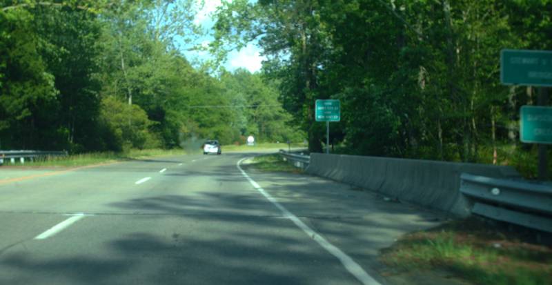
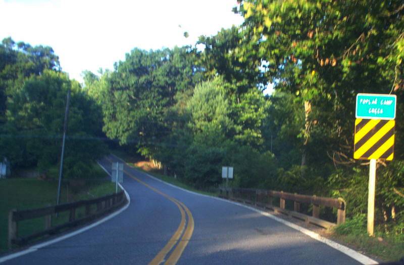
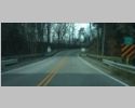
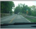
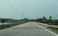
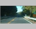
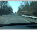
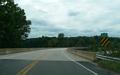
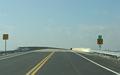
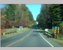
Westbound VA 40 at Poplar Camp Creek, near Charity, Patrick County. This is a rare wooden bridge on a primary route in Virginia. Photo by Mapmikey. |
 |
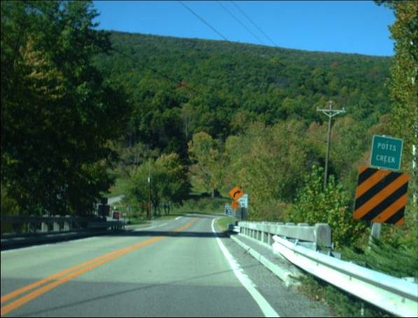
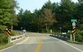
Northbound VA 311 at Potts Creek, at Paint Bank, Craig County. Photo by Mapmikey, taken October 8, 2010. |
 |
Southbound US 11 at Pughs Run, near Woodstock, Shenandoah County. Photo by Mapmikey. |
 |
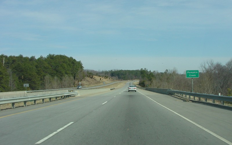
Northbound US 29/US 58 at Pumpkin Creek, in
the city of Danville. Photo by Adam Froehlig, taken February 22,
2004. |
 |
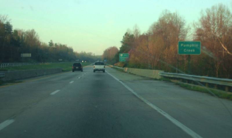
Southbound US 29-58 at Pumpkin Creek, at City of Danville. Photo by Mapmikey, taken March 23, 2012. |
 |
Westbound VA 175 at Queen Sound, west of
Chincoteague, Accomack County. Photo by Adam Froehlig, taken
January 10, 2005. |
 |
Eastbound VA 175 at Queen Sound, near Chincoteague, Accomack County. Photo by Mapmikey. |
 |
Northbound US 15 at Raccoon Creek, near
Palmyra, Fluvanna County. Photo by Adam Froehlig, taken May 31,
2008. |
 |
Southbound US 1 at Rappahannock, at City of Fredericksburg. Photo by Mapmikey, taken October 19, 2010. |
 |
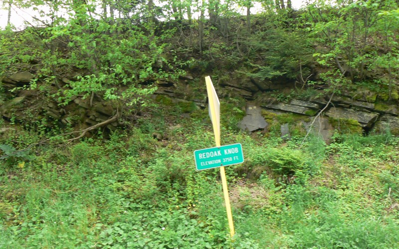
On US 250 at Redoak Knob, west of
Monterey, Highland County. Photo by Adam Froehlig, taken June 4,
2008. |
 |
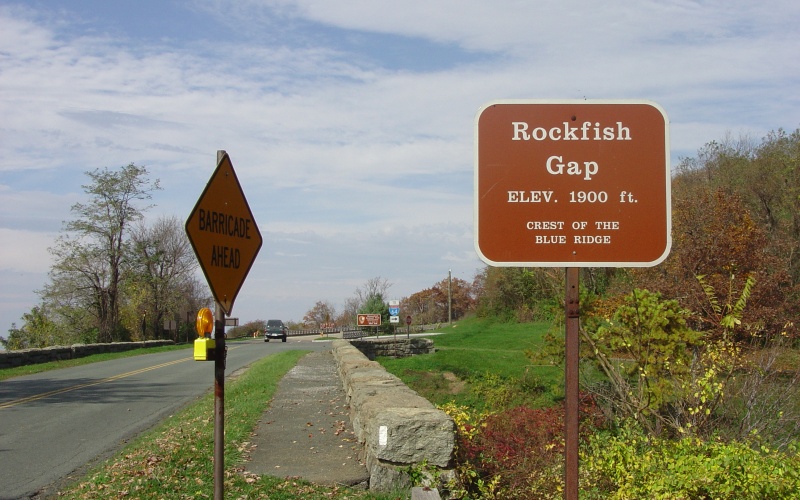
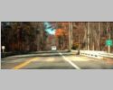
On the Blue Ridge Parkway at Rockfish Gap,
east of Waynesboro. Photo by Adam Froehlig, taken October 30,
2004. |
 |
Westbound US 33 at Rocky Run, near Rawley Springs, Rockingham County. Photo by Mapmikey. |
 |
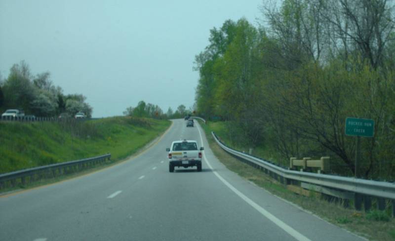
Northbound US 29/VA 56 at Rucker Run Creek, near Colleen, Nelson County. Photo by Mapmikey. |
 |
Westbound US 58 at Rudds Creek, near Boydton, Mecklenburg County. Photo by Mapmikey, taken October 21, 2010. |
 |
Southbound US 17 Bus/VA 2 at Ruffins Pond, near New Post, Spotsylvania County. Photo by Mapmikey, taken October 19, 2010. |
 |
Southbound US 1 at Sappony Creek, near DeWitt, Dinwiddie County. Photo by Mapmikey, taken October 21, 2010. |
 |
Eastbound VA 307 at Saylers Creek, Nottoway County. Photo by Mapmikey. |
 |
Eastbound US 250 at Shaws Fork, at Headwaters, Highland County. Photo by Mapmikey. |
 |
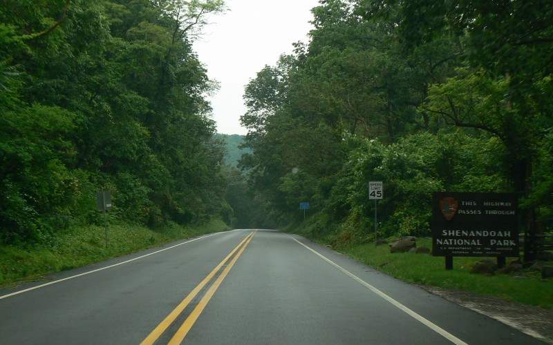
Westbound US 211 entering Shenandoah National
Park, west of Sperryville, Rappahannock County. Photo by Adam
Froehlig, taken June 4, 2008. |
 |
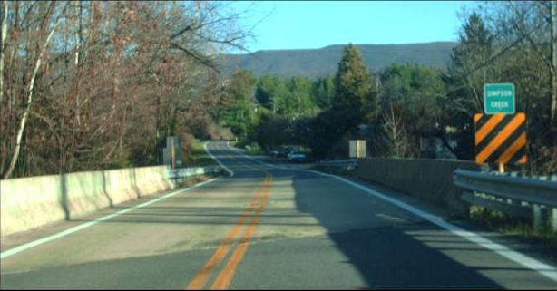
Eastbound VA 269 at Simpson Creek, near Longdale Furnace, Alleghany County. Photo by Mapmikey. |
 |
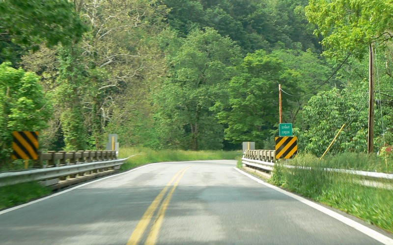
Southbound US 220 at Strait Creek, north of
Monterey, Highland County. Photo by Adam Froehlig, taken June 4,
2008. |
 |
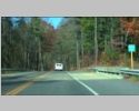
Westbound US 33 at Swift Run Gap, at Skyline Drive, entering Rockingham County. Photo by Mapmikey, taken May 21, 2010. |
 |
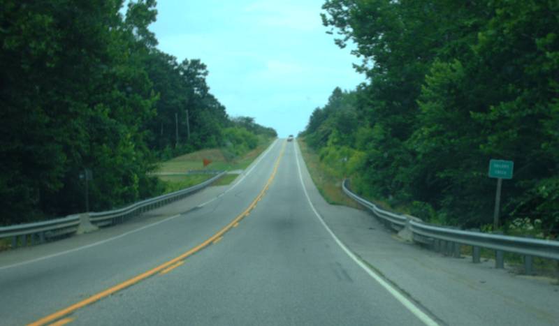
Northbound US 29 Bus at Sycamore Creek, at Pittsylvania Wayside, Pittsylvania County. Photo by Mapmikey, taken October 21, 2010. |
 |
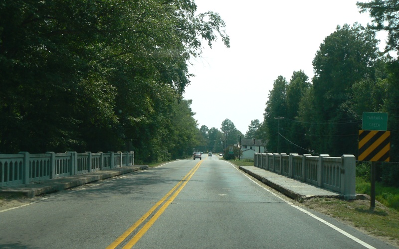
Southbound VA 35 at Tarrara Creek, in Boykins,
Southampton County. Photo by Adam Froehlig, taken July 28, 2007. |
 |
Southbound US 11 at Tumbling Run, near Strasburg, Shenandoah County. Photo by Mapmikey. |
 |
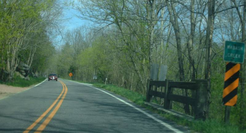
Northbound VA 100 at Wabash Creek, near Poplar Hill, Pulaski County. Photo by Mapmikey, taken April 14, 2012. |
 |
Northbound US 522 at Walnut Run Creek, near Woodville, Rappahannock County. Photo by Mapmikey. |
 |
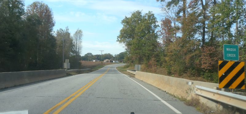
Northbound VA 46 at Waqua Creek, near Danieltown, Brunswick County. Photo by Mapmikey, taken October 22, 2013. |
 |
Westbound US 460 at Warwick Swamp, Sussex County. Photo by Mapmikey. |
 |
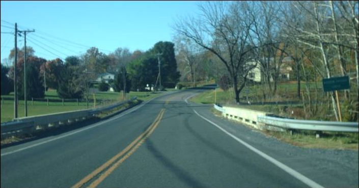
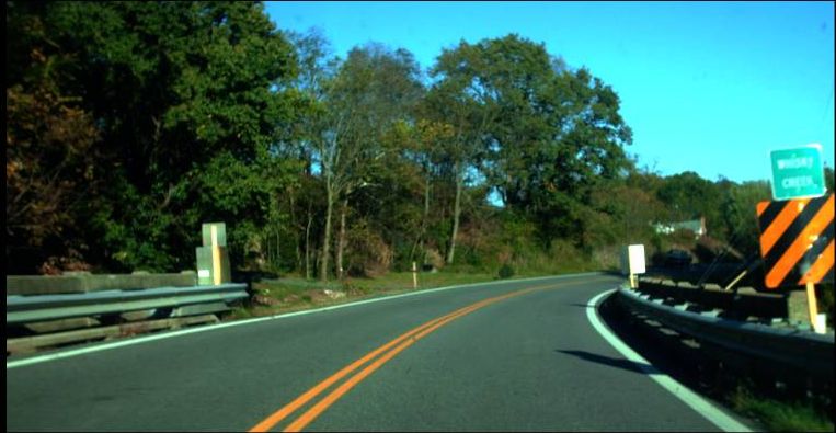
Northbound VA 42 at Whisky Creek, at Churchville, Augusta County. Photo by Mapmikey, taken October 8, 2010. |
 |
Westbound VA 3 at Wilderness Run, at Wilderness, entering Orange County. Photo by Mapmikey. |
 |
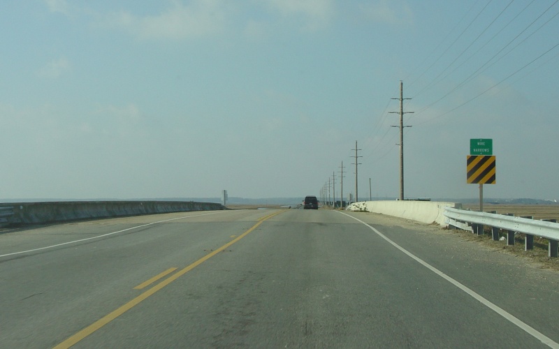
Westbound VA 175 at Wire Narrows, west of
Chincoteague, Accomack County. Photo by Adam Froehlig, taken
January 10, 2005. |
 |
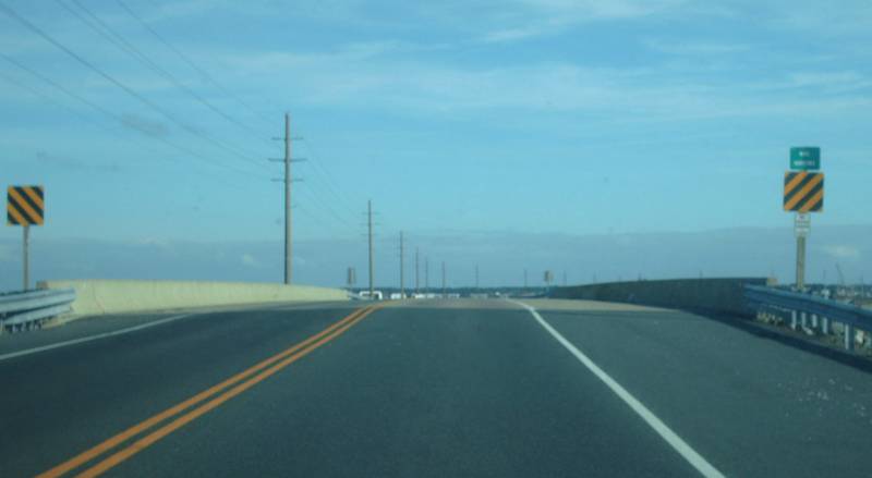
Eastbound VA 175 at Wire Narrows, near Chincoteague, Accomack County. Photo by Mapmikey. |
 |
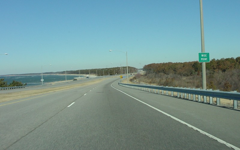
Northbound US 13 at Wise Point, north of the
Chesapeake Bay Bridge Tunnel, Northampton County. Photo by Adam
Froehlig, taken July 20, 2007. |
 |
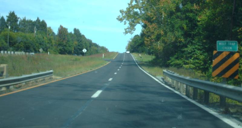
Eastbound US 360 at Wolf Trap Creek, near South Boston, Halifax County. Photo by Mapmikey. |
 |
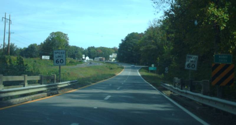
Eastbound US 360 at Woods Creek, at South Boston, Halifax County. Photo by Mapmikey. |