U.S. Highway 58 in Virginia
These are various photos from along the US 58 corridor across southern Virginia. All were taken by the webmaster (Adam Froehlig).
Eastbound Photos
|
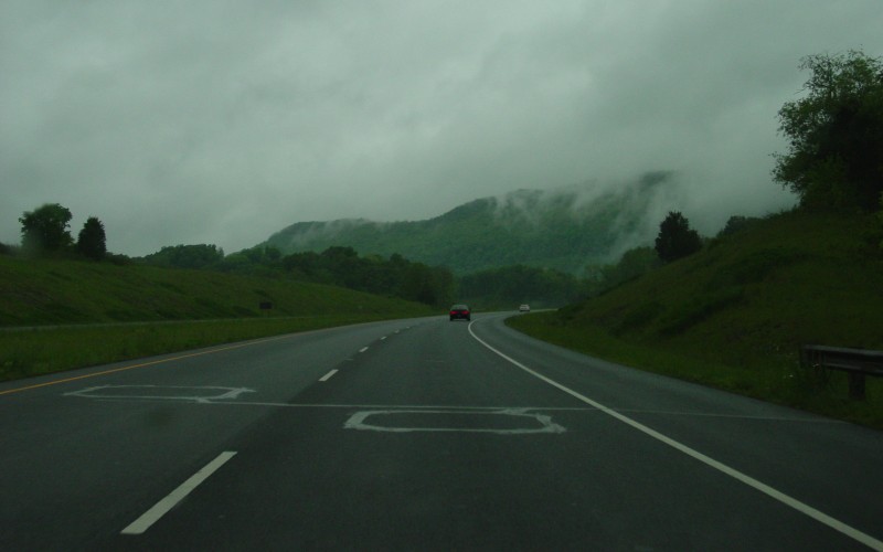
| Lee County is the westernmost of the Virginia counties. This view is near Rose Hill. Photo taken May 6, 2003. |
|
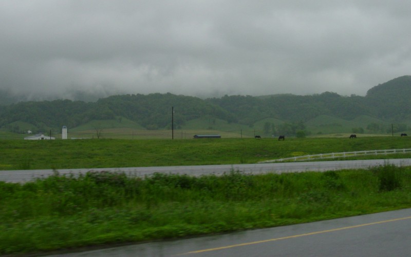
| Looking northward at Cumberland Mountain, one of the many long mountains in the Appalachian chain. From Cumberland Gap northeast to near Pennington Gap, VA, the top of Cumberland Mountain forms part of the Virginia/Kentucky state line. Photo taken May 6, 2003. |
|
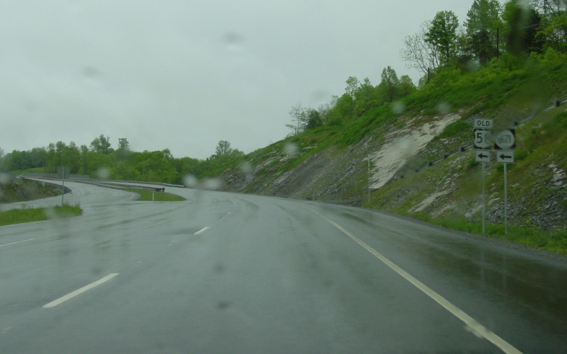
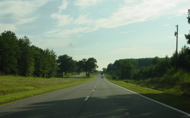
| On one of the newest 4-lane segments in Lee County. US 58 here bypasses its former routing near Hardy Creek, east of Rose Hill. Photo taken May 6, 2003. |
|
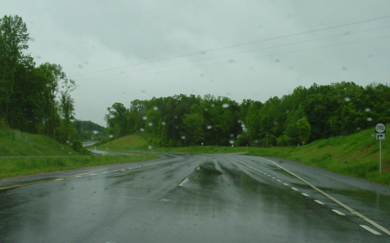
| A couple miles further east, where the 4-lane realignment intersects SR 790. Photo taken May 6, 2003. |
|
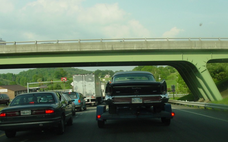
| A ways further east, now at the I-77/US 58/US 221 near Hillsville. As one can see, this interchange is fairly busy. Photo taken May 24, 2003. |
|
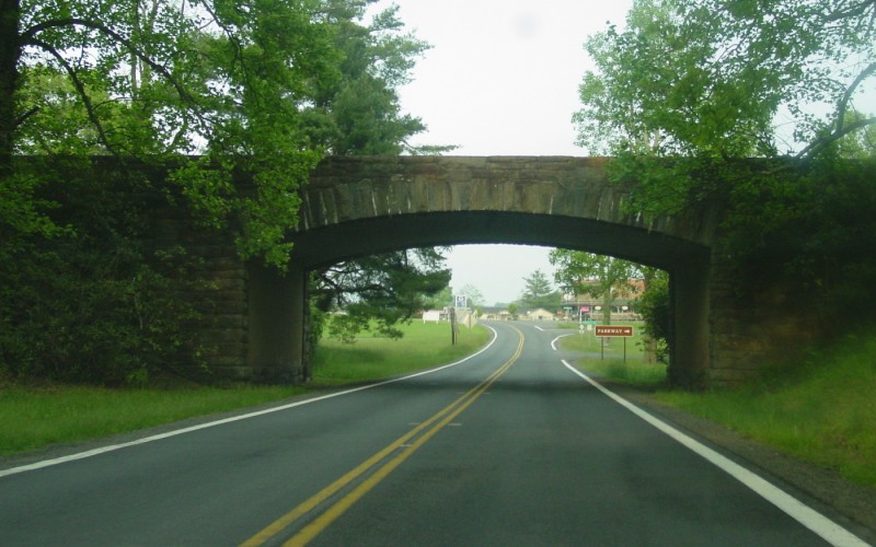
| This is where US 58 crosses underneath the Blue Ridge Parkway at Meadows of Dan, VA. An upcoming VDOT project will partially realign and widen US 58 to 4-lanes in this area. Photo taken May 24, 2003. |
|
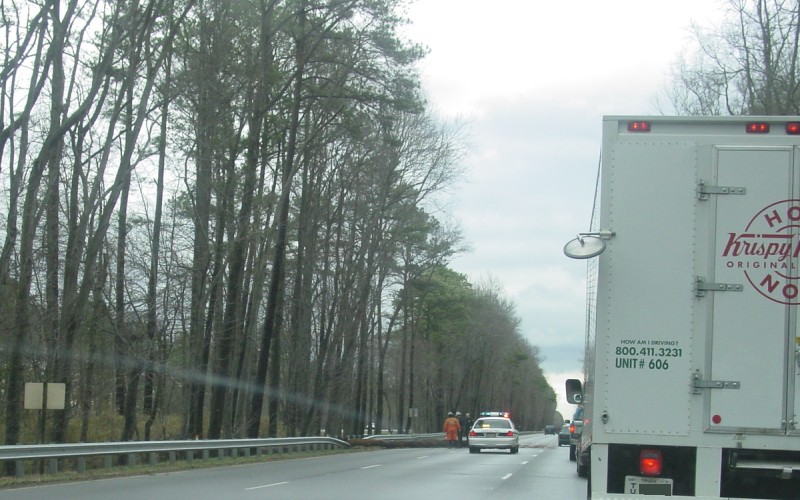
| While the tree that fell across 2 lanes of US 13/58/460 here was of more interest at the time, this view shows a typical section of the US 13/58/460 "Military Highway" in eastern Suffolk and western Chesapeake, between the Suffolk Bypass and I-664. US 13/58/460 is a 6-lane divided expressway with the occasional at-grade intersection. The eastbound lanes here were the original 4-lane undivided Military Highway between Suffolk and the Bowers Hill part of Chesapeake. Photo taken February 23, 2003. |
|
| This view, from the Martin Luther King Freeway in Portsmouth, shows construction related to the Pinners Point Interchange project, which will connect the VA 164 "Western Freeway" with the US 58 "Martin Luther King Freeway" and the Midtown Tunnel. Photo taken March 15, 2003. |
Westbound Photos
 | This westbound view is from western Greensville County, west of Emporia. Photo taken August 8, 2003. |
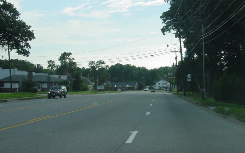 | US 58 becomes a 5-lane undivided section through Brodnax. This junction with SR 659 is just before the Brunswick/Mecklenburg County line. Photo taken August 8, 2003. |
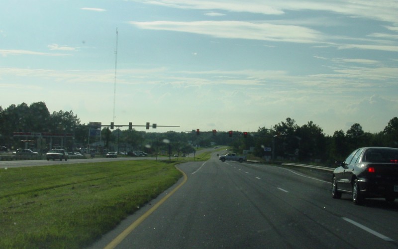 | In LaCrosse, approaching the second of three traffic signals on US 58 between I-95 and I-85, at SR 621. Photo taken August 8, 2003. |
Business Route Photos
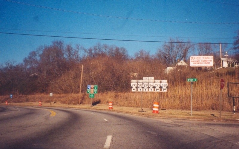 | Trailblazer shields in Danville, approaching what is the western end of both US 360 and VA 360. At the time the photo was taken, this was mainline US 58 through Danville. Since then, a Danville bypass has opened for US 58 and this has now become BUSINESS US 58. Photo taken in early 2002. |
Related Link: A Walk Across Virginia II
![]()
Page last modified 28 June, 2006
(C) 2004 Adam Froehlig