Virginia Highway 40
|
Western Terminus |
Eastern Terminus |
| At VA 8 in Woolwine, VA | At VA 10 in Spring Grove, VA |
Western Terminus
|
|
Approaching VA 8. Photo by Mapmikey, taken July 16, 2006. |
|
|
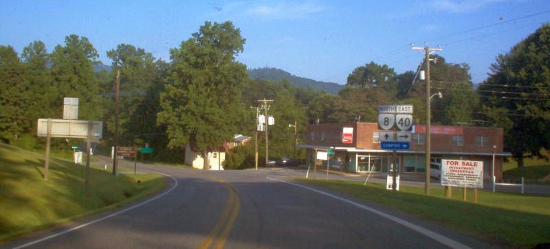
Arriving at VA 8 itself. Photo by Mapmikey, taken July 16, 2006. |
|
|
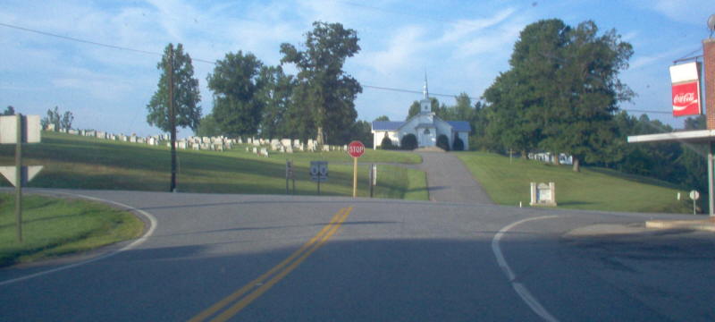
Shown looking on VA 8 northward at VA 40's beginning. Photo by Mapmikey, taken July 16, 2006. |
|
|
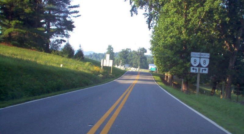
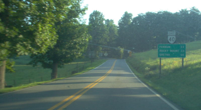
Heading down VA 40. VA 40 is VERY twisty until nearly Ferrum. Photo by Mapmikey, taken July 16, 2006. |
|
|
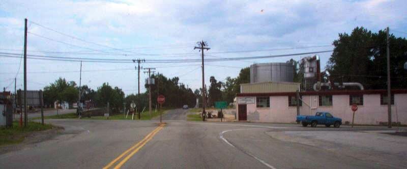
From VA 8 southbound. Photo by Mapmikey, taken October 26, 2006. |
Eastern Terminus
|
|
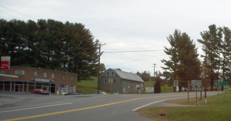
At VA 40 from VA 10 eastbound. Photo by Mapmikey, taken April 7, 2006. |
|
|
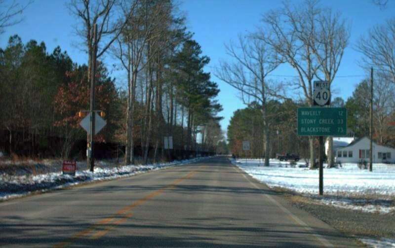
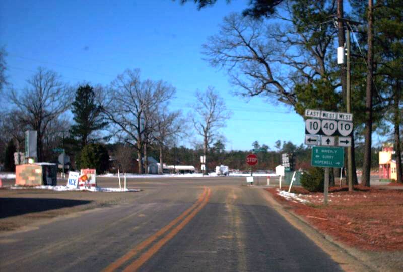
Shown looking westward at VA 40's beginning. VA 40 is the longest primary state route in Virginia. Photo by Mapmikey, taken January 21, 2008. |
|
|
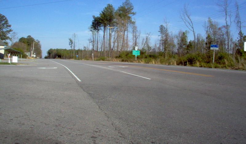
Shown looking eastward at VA 40's end at VA 10. Until 1953, VA 40 continued straight from here to Claremont. Photo by Mapmikey, taken January 21, 2008. |
|
|
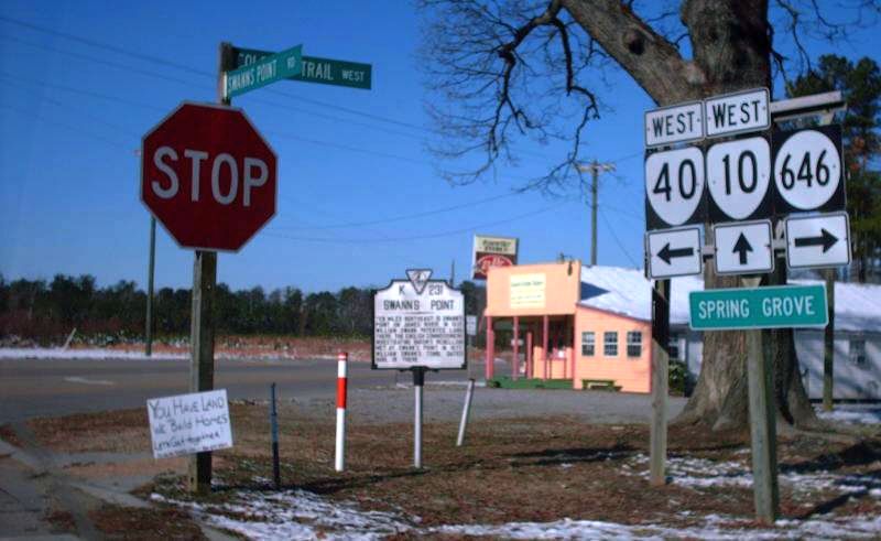
Approaching VA 10-40 from SR 646. Photo by Mapmikey, taken January 21, 2008. |
|
|
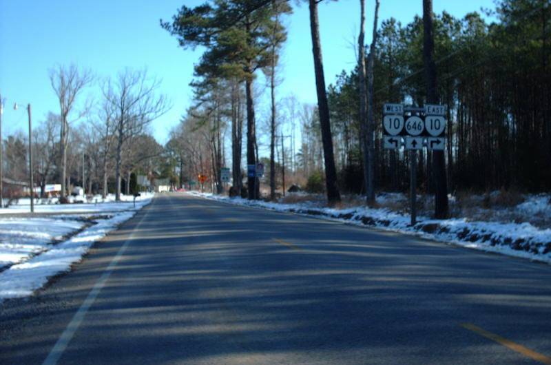
At VA 10-40 from SR 646. Photo by Mapmikey, taken January 21, 2008. |
|
|
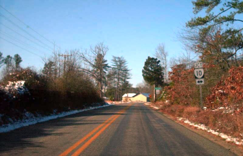
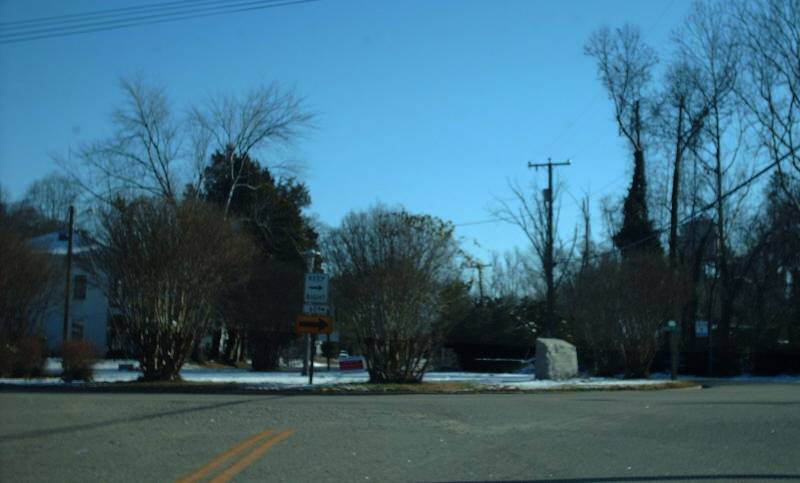
The view from VA 10 West. Photo by Mapmikey, taken January 21, 2008. |
Former Eastern Termini
|
|
From 1936-53, VA 40's east end was at the town square in Claremont. Photo by Mapmikey, taken January 21, 2008. |
|
|
Here is the view leaving the square. VA 40 then turned left at the stop sign ahead. Photo by Mapmikey, taken January 21, 2008. |
|
|
From 1933-36, VA 40's east end was at US 15-360 in Keysville. This is VA 40 east looking at that endpoint, now Business 15-360. Photo by Mapmikey, taken July 15, 2006. |
Back to VA Highway Endings
Back to VA 40 listing
Last Updated: December 25, 2008
(C) 2003-2009, Adam Froehlig, Mike Roberson