Virginia Highway 36
|
Western Terminus |
Eastern Terminus |
| At SR 602/SR 669 near Matoaca, VA | At VA 10 in Hopewell, VA |
Western Terminus
|
|
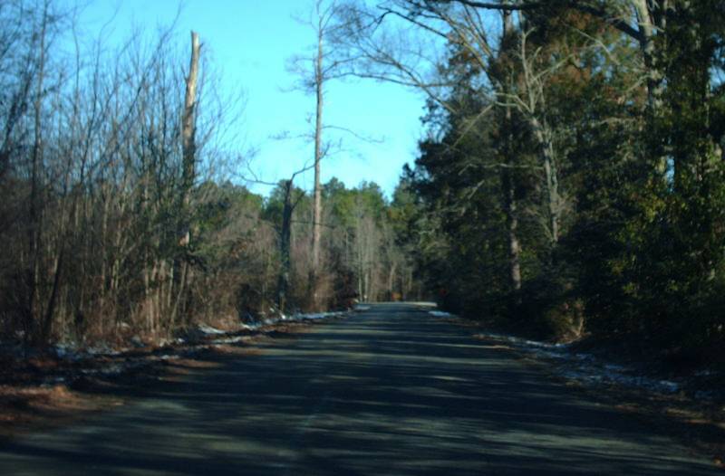
VA 36 runs several miles west of Virginia State University, ending at SR 669. From this angle the VA 36 shield at left looks like a cutout but is not. Photo by Mapmikey, taken April 24, 2007. |
|
|
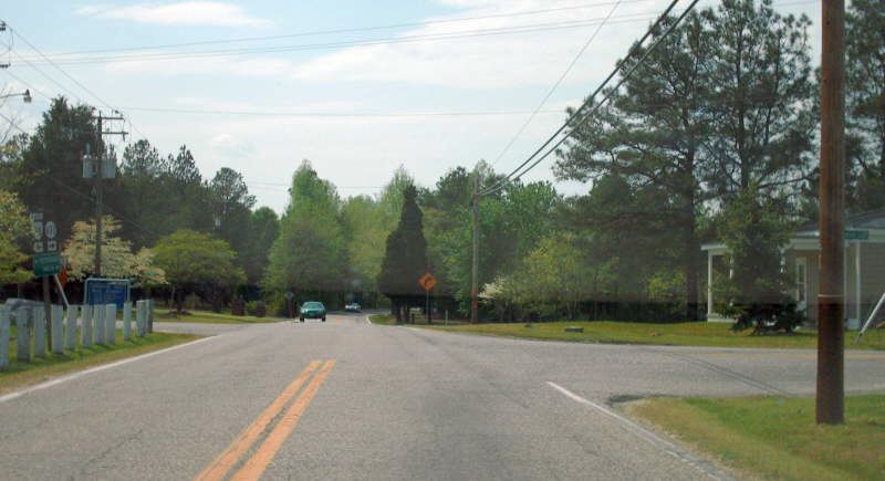
Here is the view from SR 669 with a VA 36-SR 602 unisign. Photo by Mapmikey, taken April 24, 2007. |
|
|
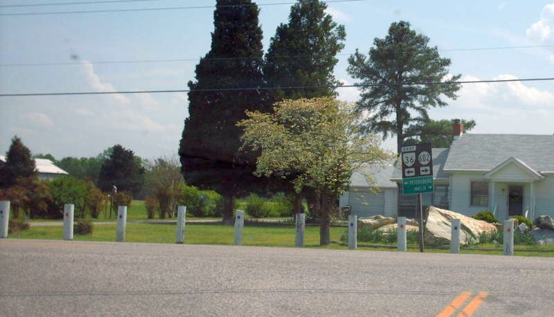
Beginning east on VA 36. There was no reassurance on VA 36 until Petersburg this direction. Photo by Mapmikey, taken April 24, 2007. |
Eastern Terminus
|
|
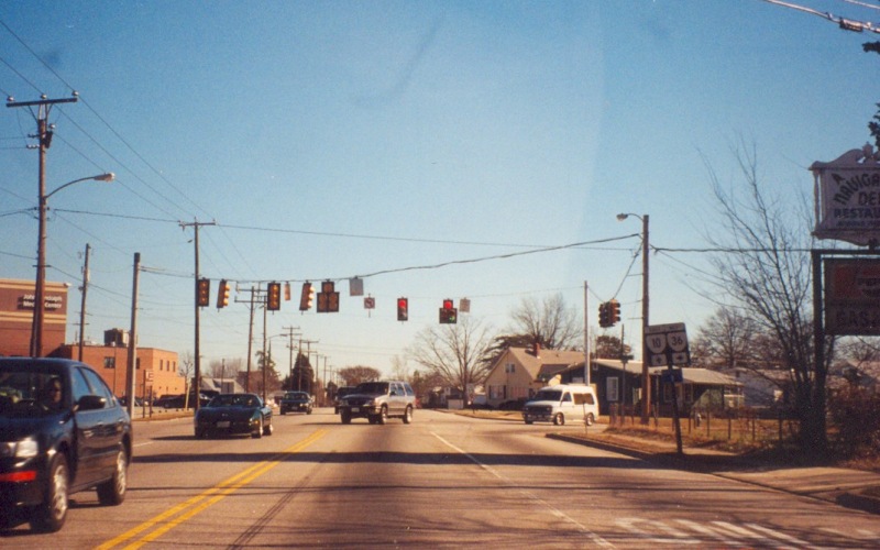
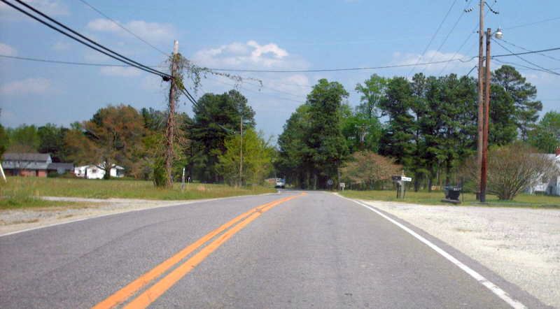
VA 36 is largely a local route between Hopewell, Petersburg, and Colonial Heights. This is the northern end as viewed from eastbound VA 10. Photo by Adam Froehlig, taken January 27, 2002. |
Former Eastern Terminus
|
|
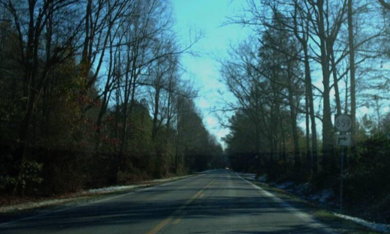
From 1933-58, VA 36 continued across a James River Ferry to end at VA 5 in Charles City County. Here is the view from VA 5 east at SR 659 (old VA 36). Photo by Mapmikey, taken January 21, 2008. |
|
|
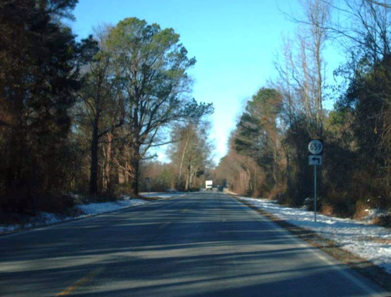
Here is the view from VA 5 west at SR 659 (old VA 36). VA 106-156 is just ahead. Photo by Mapmikey, taken January 21, 2008. |
|
|
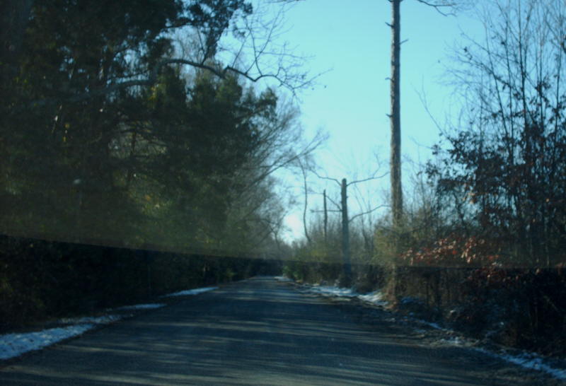
Beginning down SR 659 (old VA 36). The old ferry landing as about a mile ahead. Photo by Mapmikey, taken January 21, 2008. |
|
|
SR 659 (old VA 36) approaching VA 5. Photo by Mapmikey, taken January 21, 2008. |
Back to VA Highway Endings
Back to
VA 36 listing
Last Updated: January 1, 2009
(C) 2009-2003, Adam Froehlig, Mike Roberson