 SC 350 to 359
< 340 to 349 | Home | 360 to 369 >
| SC 350 not currently assigned | ||||||||||||
| Previous SC 350's: |
SC 350: Appeared in 1941 or 1942 as new primary routing. Ran from US 178 Black to US 25 south of Ware Shoals, a distance of 5 miles.
In 1948, SC 350 was downgraded to S-24-26. |
|||||||||||
| SC 351 not currently assigned | ||||||||||||
| Previous SC 351's: |
SC 351 #1:Appeared in 1923 as new primary routing. Ran from SC 34 Lydia north to SC 35 (current SC 151 Bus) Hartsville for a distance of 5 miles.
SC 351 was renumbered as an extended original SC 30 by 1926. Today it is part of US 15. SC 351 #2: Appeared in 1941 or 1942 as new routing. Ran from US 21 (current SC 72-121) at the Chester-York line southeast to SC 9, a distance of 7 miles. In 1948, SC 351 was downgraded to S-12-32 and part of S-12-46. |
|||||||||||
| SC 352 not currently assigned | ||||||||||||
| Previous SC 352's: |
SC 352: Appeared in 1941 or 1942 as new routing. Ran as a 6 mile loop off SC 34 at the Kershaw-Lee Line. It is possible this was once part of SC 34.
SC 352 was downgraded to S-28-22 and S-31-32 in 1948. |
|||||||||||
| SC 353 not currently assigned | ||||||||||||
| Previous SC 353's: |
SC 353: Appeared in 1941 or 1942 as new routing. Ran from US 521 Shamokin northeast to SC 341 in NE Kershaw County.
The 15 miles SC 353 were downgraded to S-31-20 in 1948. |
|||||||||||
| SC 354 not currently assigned | ||||||||||||
| Previous SC 354's: |
SC 354: Appeared in 1941 or 1942 as new primary routing. Ran from SC 260 (current S-43-25) across the Pocotaligo River 2 miles to US 521 in extreme southern Sumter County
In 1948, SC 354 was downgraded to S-43-32. |
|||||||||||
| SC 355 not currently assigned | ||||||||||||
| Previous SC 355's: |
SC 355: Appeared in 1941 or 1942 as new routing. Ran from US 176 (current SC 215) Buffalo northwest to SC 115 (current S-44-12), a total of 6 miles.
In 1948, SC 355 was downgraded to S-44-23. |
|||||||||||
| SC 356 not currently assigned | ||||||||||||
| Previous SC 356's: |
SC 356: Appeared in 1941 or 1942 as new routing. Ran from SC 34 near Bingham northeast to SC 9 Manning Crossroads, a total of 6 miles.
In 1948, SC 356 was downgraded to S-17-28. |
|||||||||||
|
|
|
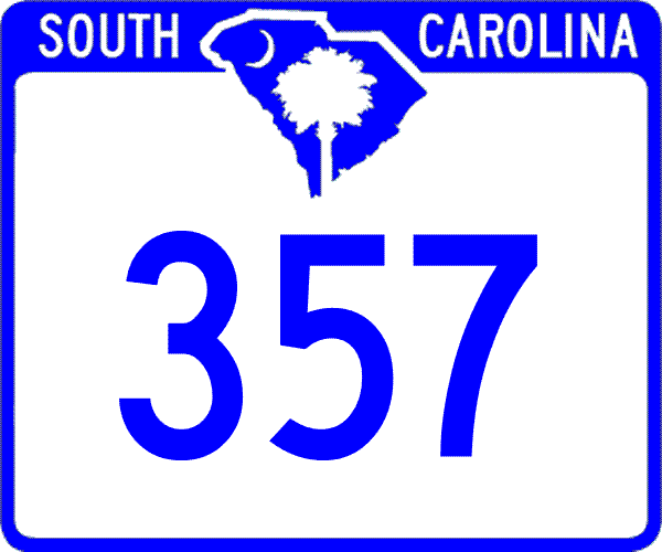
| ROUTE LOG |
SC 101, SC 290: 0 - 0 US 29: 1 - 1 SC 358: 4.2 - 5.2 US 176: 10.4 - 15.6
|
Creation: Created in 1950 as new primary routing. Ran as it does today.
| Adjustments: None Improvements: Paved upon creation; no multilane sections Comment: SC 357 serves Lake Lyman and western Spartanburg County |
|||||
|
|
|
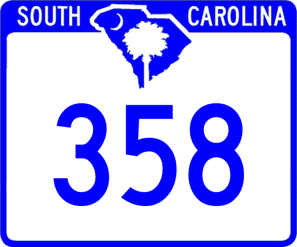
| ROUTE LOG |
US 29, SC 129, SC 292: 0 - 0 SC 357: 3.3 - 3.3
|
Creation: Appeared as a new state route in 1950, running as it does now.
| Adjustments: None Improvements: Fully paved when created in 1950; no known multilane segments. Comment: I drove SC 358 about 17 years ago and remember nothing exciting about it. |
|||||
| SC 359 not currently assigned | |||
| Previous SC 359's: |
SC 359: Appeared in 1941 or 1942 as new routing. Ran from SC 334 (current S-5-22) Govan to US 78 Bamberg.
In 1948, the 10 miles of SC 359 were downgraded to S-5-32. |
||
Last Update: 7 March 2005
Previous: SC 340 - 349 |
Next: SC 360 - 369
Top | South Carolina Hwy Index
Home

