N.C. 54
< 53 | Home | 54-A | 54 Bus | 55 >
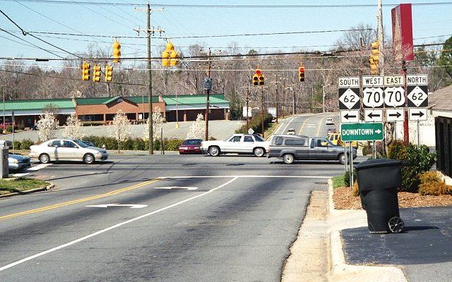
Photo: NC 54 ending at US 70/NC 62 (Mark Clifton)
| N.C. 54 55 miles | |||
| The Road: | Begins at US 70/NC 62 Burlington (Alamance County) and ends at I-440/US 1 Raleigh (Wake County). | Towns and Attractions: | Alamance Co.: Burlington, Graham,
Orange Co.: Carrboro, Chapel Hill Durham Co.: Research Triangle Park Wake Co.: Cary, Raleigh |
History: |
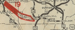
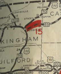
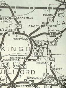
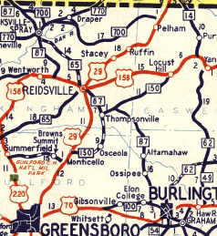
In 1930, NC 54 was extended northwest to Burlington with NC 100, then northwest as new primary routing to Reidsville, then replaced NC 709 through Leaksville (now Eden) and to Virginia, where the route continued as VA 201. More specifically, NC 54 followed today's NC 87 to Reidsville except it bypassed Ossipee. In Reidsville it used Holiday Loop and Barnes Av into downtown, Harrison St, N. Scales St, then used Wentworth St to leave Reidsville. NC 54 used a small piece of today's NC 65-87, then used Ashley Loop Rd to head for Eden. NC 54 then followed NC 87 to NC 770; S. Hamilton St into central Eden; Stone Hwy east to Bridge St.; N Oakland Ave back to NC 14-87 (except used Meeks through Fairview); NC 14-87 for a few hundred feet; "Old NC 87" to the state line In 1940, NC 54 north of Graham was replaced with NC 87 and instead was sent over a piece of NC 93 to connect with US 70 west of Burlington.
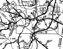
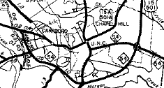
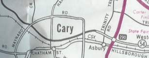
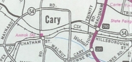
In 1953, NC 54 was extended east with US 70-A to Cary, then split off on what appears to be new routing east along today's Chapel Hill Rd (north side of RR tracks)
and continued to Westover where it ended at US 1 which used Hillsborough St from Cary to Raleigh then.
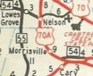
In late 1962 or early 1963, NC 54 was extended east again, replacing US 1 along Hillsborough Ave to the new US 1 freeway, where it ends now.
About 1997, NC 54 was moved onto the northern side of Maynard Rd around central Cary. This was part of Cary banning trucks within the Maynard Loop.
|
Comments: |
There is an Old NC 54 west of Carrboro that ran from old NC 86 Calvander back over to NC 54. However, the 1930 Orange County map shows NC 54 on the current routing over there. So NC 54 if it ever did, used the Old NC 54 alignment for 1929 only. NC 54 is still an effective and pleasant way to go from Burlington to Chapel Hill instead of using I-40. Thanks to Brian LeBlanc for information on this page. |

Last Update: 20 May 2008
Previous: N.C. 53 | 54-A | 54 Bus
Next: N.C. 55
Top | NCRoads.com
Home